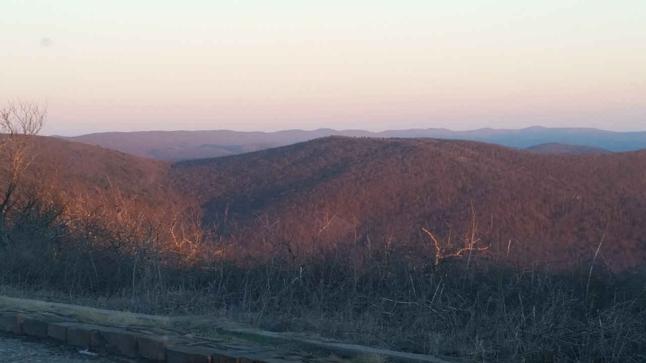
Billy Creek West
Oklahoma
Free — you'll pick up right here.
1.1 mi
Distance
368 ft
Gain
25 min
Time
No verdict for this trail
We won't guess. Here is exactly what we do and don't know.
What we do know
Inside Ouachita National Forest
2 managing-area boundaries mapped — agency alerts for them feed this page automatically.
Boundary data
What's missing
No access route mapped
We don't yet know which road reaches this trailhead, so we can't tell you if it's gated.
Nobody's filed a report here yet — be the first.
Why you'll love it
Here's your day, mapped
Billy Creek West
Suggested plan · check conditions before you go
Meals
Gear for the day
Elevation & route
- Distance
- 1.1 mi
- Elevation gain
- 368 ft
- Elevation loss
- 368 ft
- Highest point
- 1,092 ft
- Lowest point
- 938 ft
Photos
Directions & GPX
Permits & access
- Managing agency
- Forest Service
- Dogs
- unknown
- Bikes
- no
About this trail
BILLY CREEK WEST is a 2.1-mile out-and-back trail in Oklahoma with 368 feet of elevation gain and loss. The trail reaches a maximum elevation of 1,092 feet.
Facts about this trail
The climb
- Starts at
- 1,060 ft
- High point
- 1,092 ft
- Total climbing
- 368 ft
- Total descent
- 368 ft
- Steepest stretch
- 7% grade around mile 0.4 on the way out
- Length (round trip)
- 2.1 mi
- Shape
- Out and back
It rolls up and down the whole way rather than holding one long climb.
Source: Roamze elevation profile and trail geometry (DEM samples along the mapped route)
Where it is
- Kiamichi Ranger District · Ranger district
- Ouachita National Forest · National forest
- Managed by
- Forest Service
Conditions
Active alerts for Ouachita National Forest as of Oct 9, 2026:
Forest Service Road Closures on the Caddo-Womble Ranger District
critical · posted Sep 28, 2026
Wildfire Risk Increases in Arkansas and Oklahoma
critical · posted Aug 28, 2026
Sugar Creek Multi-Use Trail Partially Closed Due to Logging Operations
caution · posted Aug 25, 2026
Hole in the Ground Hiking Trail Closed due to Logging Operations
critical · posted Aug 25, 2026
Portions of Wildcat Trail Closed Due to Tornado Damage
caution · posted Aug 24, 2026
Be Bear Aware in the National Forests in Arkansas & Oklahoma!
critical · posted Aug 24, 2026
Lake Ouachita Vista Trail Partially Closed for Timber Sale Activity
caution · posted Aug 24, 2026
Road Reconstruction on Forest Service Road C27A
caution · posted Aug 24, 2026
Henderson Hill Road (FSR 689) Partially Closed
caution · posted Aug 24, 2026
Forest Order- Developed Recreation Areas
information · posted Aug 24, 2026
Source: USFS forest alerts
Nearby
- BILLY CREEK SPURHiking0.1 mi
- Billy CreekHiking0.9 mi
- Horsethief - HilltopHiking2.1 mi
- Wsm Eq - 1009Hiking2.2 mi
- Winding StairCamping2.5 mi
- Wsm Eq - 1006AHiking2.6 mi
- Wsm Eq - 1004DHiking2.7 mi
- Kiamichi RiverCanoeing6.9 mi
Source: Roamze catalog (indexable pages within 10 miles, PostGIS distance)
Add to a trip & share
Keep exploring — more trails worth the drive
 Photo: MARELBU, CC BY 3.0 (via Wikimedia Commons)
Mountain Top Trail
~3 min drive
2.20-mile out-and-back trail in Oklahoma with 202 ft elevation gain.
 Photo: MARELBU, CC BY 3.0 (via Wikimedia Commons)
Wsm Eq - 1006A
~4 min drive
4.6-mile out-and-back trail in Oklahoma with moderate terrain.
 Photo: Chasqui (Luis Tamayo), CC BY-SA 2.0 (via Flickr)
Choctaw Nation Trail
~23 min drive
46.5-mile out-and-back trail in Oklahoma with 3,248 ft elevation gain.
Wsm Eq - 1009
~4 min drive
Moderate 7.5-mile out-and-back trail in Oklahoma with varied terrain.
Photo: MARELBU, CC BY 3.0 (via Wikimedia Commons)Wsm Eq - 1004D
~5 min drive
Easy 2-mile out-and-back trail in Oklahoma.
 Photo: MARELBU, CC BY 3.0 (via Wikimedia Commons)
Wsm Eq - 1007
~5 min drive
5.4-mile out-and-back Oklahoma trail with moderate terrain and scenic views.
Billy Creek
~2 min drive
8.74-mile out-and-back trail in Oklahoma with 917 ft of elevation gain.
Wsm Eq - 1002
~7 min drive
13-mile out-and-back Oklahoma trail for experienced day hikers.
 Photo: MARELBU, CC BY 3.0 (via Wikimedia Commons)
Kerr - Arboretum
~10 min drive
1.35-mile out-and-back trail in Oklahoma with 3 feet of elevation gain.
 Photo: Alex Butterfield, CC BY 2.0 (via Flickr)
Boardstand Trail
~15 min drive
5.74-mile point-to-point trail in Oklahoma with 1,494 ft elevation loss.