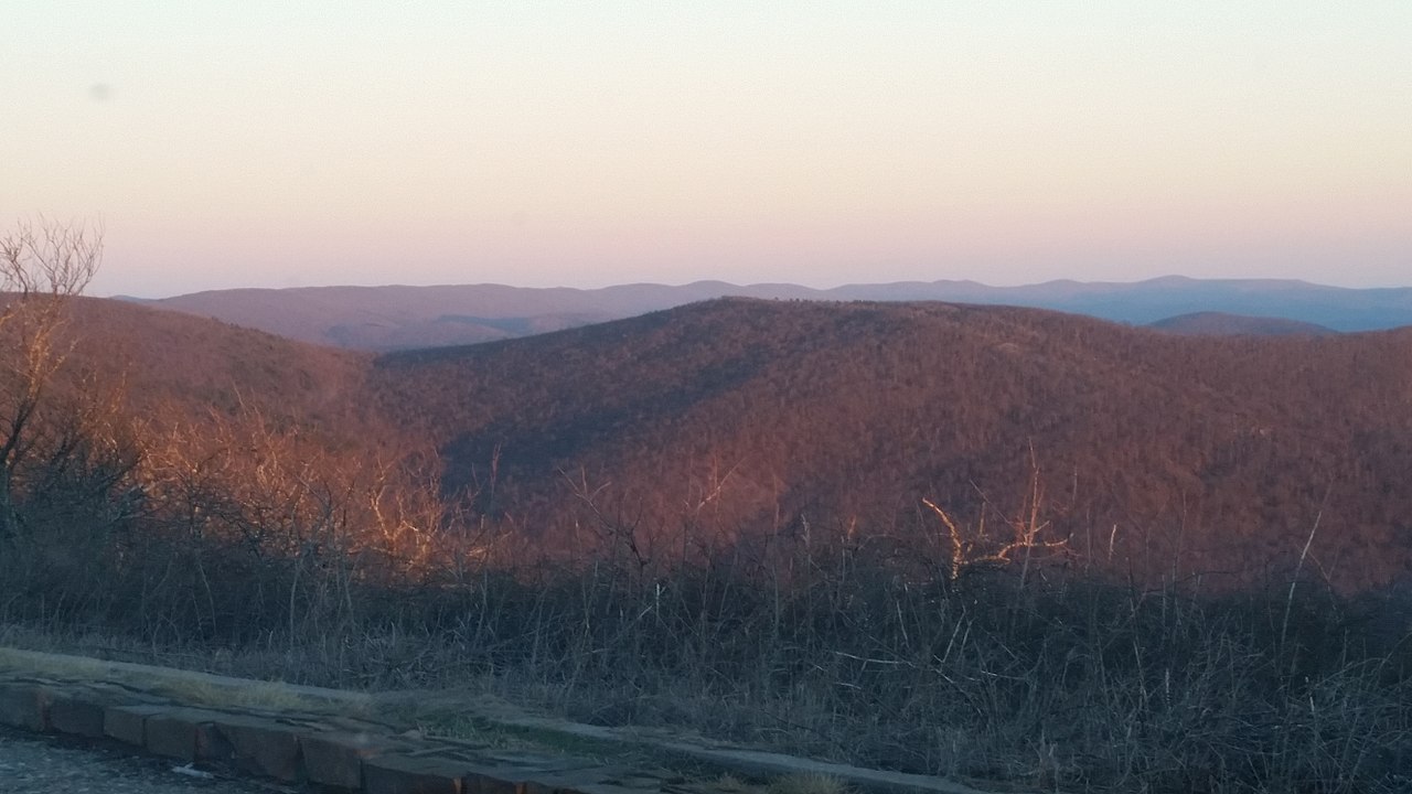
Winding Stair
 Photo: MARELBU, CC BY 3.0 (via Wikimedia Commons)
- from $3
- fee
Is Winding Stair open right now?
Closure in the area
There's a closure order in Ouachita National Forest. It doesn't name Winding Stair, so check the source for the area it covers (4 listed).
Forest Service Road 6035 Closed for Construction
Agency closure covering Ouachita National Forest · USFS · Ouachita National Forest
Forest Service Road Closures on the Caddo-Womble Ranger District
Agency closure covering Ouachita National Forest · USFS · Ouachita National Forest
Wildfire Risk Increases in Arkansas and Oklahoma
Agency closure covering Ouachita National Forest · USFS · Ouachita National Forest
Hole in the Ground Hiking Trail Closed due to Logging Operations
Agency closure covering Ouachita National Forest · USFS · Ouachita National Forest
Sugar Creek Multi-Use Trail Partially Closed Due to Logging Operations
Agency alert covering Ouachita National Forest · USFS · Ouachita National Forest
As of · Source: USFS · Ouachita National Forest. Agencies don't list every closure — check before you go.
- At 1,914 ft
- Choctaw Ranger DistrictOuachita National Forest
Winding Stair is a Forest Service campground in the Choctaw Ranger District of Oklahoma's Ouachita National Forest. It sits in the forest's interior, and the nearest town is Smithville, about 17 miles away. The site is simple, with vault toilets as the only listed amenity. A fee is charged for stays. Spring and fall are the most comfortable times to visit. Typical averages from a nearby weather station in Smithville show April highs around 72°F and October highs around 73°F, while July and August average about 91°F. That station sits roughly 1,100 feet lower than the campground, so temperatures at the site run cooler. Several short hikes start close by. Wsm Eq - 1007 is about 0.3 miles away, and Billy Creek is about a mile off. The Kiamichi River, a canoeing route, lies about 5 miles away.
 Wsm Eq - 1007HikingPhoto: MARELBU, CC BY 3.0 (via Wikimedia Commons)0.3 mi
 Billy CreekHikingPhoto: MARELBU, CC BY 3.0 (via Wikimedia Commons)1 mi
- Wsm Eq - 1006Hiking1.9 mi
 BILLY CREEK SPURHikingPhoto: MARELBU, CC BY 3.0 (via Wikimedia Commons)2.5 mi
- BILLY CREEK WESTHikingPhoto: MARELBU, CC BY 3.0 (via Wikimedia Commons)2.5 mi
- Horsethief - HilltopHiking3.1 mi
- Wsm Eq - 1006AHikingPhoto: MARELBU, CC BY 3.0 (via Wikimedia Commons)3.1 mi
- Kiamichi RiverCanoeing5.1 mi
Source: Roamze catalog (indexable pages within 10 miles, PostGIS distance)
- Billy CreekCamping · ~6 min drivePhoto: MARELBU, CC BY 3.0 (via Wikimedia Commons)
 Cedar LakeCamping · ~7 min drivePhoto: Michael Barera, CC BY-SA 4.0 (via Wikimedia Commons)
- Big Coon CreekCamping · ~1h 12m drive
- Cedar Lake (Oklahoma)Camping · ~5 min drive
- Cedar Lake Equestrian CampCamping · ~7 min drive
- Cedar Lake Shady LaneCamping · ~7 min drive
- Cedar Lake Sandy BeachCamping · ~8 min drive
- Big Cedar RV Park & CabinsCamping · ~9 min drive
- Hale Scout ReservationCamping · ~21 min drive
- Runestone RV ParkCamping · ~24 min drive