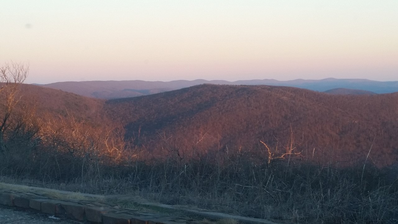
Wsm Eq - 1009
- 7.5 mi
- round trip
- 2,224 ft
- climb
- 1,761 ft
- high point
- Out and back
- route
- Feb–May, Oct–Nov
- best months
Is Wsm Eq - 1009 open right now?
Closure in the area
There's a closure order in Ouachita National Forest. It doesn't name Wsm Eq - 1009, so check the source for the area it covers (5 listed).
Forest Service Road 209 Closed for Logging Activity
Agency closure covering Ouachita National Forest · USFS · Ouachita National Forest
Forest Service Road 6035 Closed for Construction
Agency closure covering Ouachita National Forest · USFS · Ouachita National Forest
Forest Service Road Closures on the Caddo-Womble Ranger District
Agency closure covering Ouachita National Forest · USFS · Ouachita National Forest
Wildfire Risk Increases in Arkansas and Oklahoma
Agency closure covering Ouachita National Forest · USFS · Ouachita National Forest
Hole in the Ground Hiking Trail Closed due to Logging Operations
Agency closure covering Ouachita National Forest · USFS · Ouachita National Forest
As of · Source: USFS · Ouachita National Forest. Agencies don't list every closure — check before you go.
Wsm Eq - 1009 is a hard hike in the Choctaw Ranger District of Ouachita National Forest in Oklahoma, about 7.5 miles long with a total elevation gain of 2,224 feet. The trail is natural-surfaced and shaped as an out-and-back, with the high point at 1,761 feet and the low at 900 feet. The steepest stretch comes at about 0.65 miles in, with a grade of 20 percent. Spring and fall are the most comfortable times to go. Typical averages from a nearby weather station in Wister run to highs around 72°F in April and 76°F in October, while July and August average highs near 93°F. That station sits well below the trail, so temperatures on the route run cooler. Several other hikes start close by, including Horsethief - Hilltop at 0.6 miles and Wsm Eq - 1004D at 0.9 miles. For an overnight stay, Winding Stair campground is about 3.6 miles away, and the Kiamichi River offers canoeing roughly 8.7 miles off.
Local outfitters
- Beavers Bend Adventures42 mi away
Not on Roamze yet. Their page has how to reach them.
Best time to go · Feb–May, Oct–Nov
Best time to visit Wsm Eq - 1009
Best months: February–May and October–November. Best months have typical highs of 55–85 °F, lows of 30 °F or warmer (32 °F where the station doesn't record snow), at most one snowy day and no more than 12 wet days.
Jan
51° / 27°
Feb
56° / 32°
Mar
63° / 39°
Apr
72° / 47°
May
79° / 59°
Jun
88° / 68°
Jul
93° / 70°
Aug
93° / 69°
Sep
86° / 61°
Oct
76° / 49°
Nov
64° / 39°
Dec
53° / 31°
Typical high / low (°F) and days with rain or snow, 1991–2020. Measured at Wister 3s, OK, 13.1 mi away at 525 ft. The station sits about 1,200 ft lower than this place, so expect it a little cooler here. This station doesn't record snowfall. Source: NOAA NCEI U.S. Climate Normals 1991–2020.
Keep exploring — more trails worth the drive
 Photo: MARELBU, CC BY 3.0 (via Wikimedia Commons)
Wsm Eq - 1004D
~2 min drive
Easy 2-mile out-and-back trail in Oklahoma.
Photo: MARELBU, CC BY 3.0 (via Wikimedia Commons)Wsm Eq - 1006A
~2 min drive
4.6-mile out-and-back trail in Oklahoma with moderate terrain.
 Photo: Chasqui (Luis Tamayo), CC BY-SA 2.0 (via Flickr)
Choctaw Nation Trail
~22 min drive
46.5-mile out-and-back trail in Oklahoma with 3,248 ft elevation gain.
HIKE
Horsethief - Goldville Divide
~2 min drive
8.80-mile out-and-back trail in Oklahoma with 1,529 ft elevation gain.
 Photo: MARELBU, CC BY 3.0 (via Wikimedia Commons)
BILLY CREEK WEST
~4 min drive
2.1-mile out-and-back trail in Oklahoma with 368 ft elevation gain
Photo: MARELBU, CC BY 3.0 (via Wikimedia Commons)BILLY CREEK SPUR
~4 min drive
3.6-mile out-and-back trail in Oklahoma with 1,194 ft elevation gain/loss
HIKE
Wsm Eq - 1001
~3 min drive
Moderate 8.20-mile out-and-back trail in Oklahoma.
 Photo: MARELBU, CC BY 3.0 (via Wikimedia Commons)
Mountain Top Trail
~5 min drive
2.20-mile out-and-back trail in Oklahoma with 202 ft elevation gain.
Photo: MARELBU, CC BY 3.0 (via Wikimedia Commons)Billy Creek
~5 min drive
1.75-mile out-and-back trail in Oklahoma with 204 ft gain.
HIKE
Wsm Eq - 1003
~4 min drive
11.48-mile out-and-back Oklahoma trail with moderate difficulty and scenic variety.