Benedict Trail
 Photo: jofwooster, CC BY-SA 3.0 (via Wikimedia Commons)
At a glance
Benedict Trail is a cross-country ski route in the Aspen Ranger District of White River National Forest in Colorado, managed by the Forest Service. It is a short, moderate outing of about 1.1 miles, with a total elevation gain of 88 feet. The trail runs between about 8,012 and 8,092 feet, and the steepest stretch comes early on, at about 0.18 miles in, with a grade of 6 percent. Winter is the natural season for this trail. Typical averages from a nearby weather station in Aspen show January highs around 32°F with lows near 10°F, while June is the warmest month, with highs around 71°F and lows near 42°F. The Little Nell Trail is about 0.4 miles away, and the East Of Aspen Trail, another cross-country ski route, is about 0.8 miles off. Climbers can head to the East Face, about 2.9 miles away, and Difficult Group Campground is about 3.4 miles away for an overnight stay.
- distance
- 1.1 mi
- climb
- 88 ft
- high point
- 8,092 ft
- difficulty
- Moderate
Where it is: Aspen Ranger District · White River National Forest
Near: Aspen
Blocked today
A road serving this area is closed; avalanche danger is considerable or higher; agency alerts are in effect for this area; weather is marginal · USFS, State DOT 511, Avalanche.org +2 · checked just now
Best weeks to go
No week is usually ideal for skiing here. Mid-November to late March comes closest.
Typical weather: NOAA 1991–2020 normals at Aspen 1sw, CO, 1 mi away. Not a forecast.
Typical weather by monthIs Benedict Trail open right now?
Road closed
CO 82: road closure is listed as closed by CDOT 511.
CO 82: road closure
Closed · ~0.5 km from Benedict Trail · CDOT 511
FSR 286, Radical Hill, is closed due to washouts and unsafe conditions
Agency alert covering White River National Forest · USFS · White River National Forest
Limited parking at Snowmass Creek Trailhead
Agency alert covering White River National Forest · USFS · White River National Forest
Ruedi Marina Day Use area Dump Station is CLOSED
Agency alert covering White River National Forest · USFS · White River National Forest
Asbestos safety closure - Camp Hale
Agency alert covering White River National Forest · USFS · White River National Forest
As of · Source: CDOT 511. Agencies don't list every closure — check before you go.
Best time to visit Benedict Trail
No month here meets our mild-weather rule. Best months are the ones mostly made of the best weeks for skiing: typical temperatures in its comfortable range, few snowy days and not usually wet, judged with the same limits as our good-day forecasts.
Jan
32°
10°
13 wet
Feb
35°
13°
12 wet
Mar
43°
20°
12 wet
Apr
50°
27°
12 wet
May
60°
35°
11 wet
Jun
71°
42°
8 wet
Jul
76°
48°
11 wet
Aug
73°
47°
12 wet
Sep
67°
40°
10 wet
Oct
55°
30°
9 wet
Nov
42°
19°
10 wet
Dec
32°
10°
12 wet
Typical high / low (°F) and days with rain or snow, 1991–2020. Measured at Aspen 1sw, CO, 1.4 mi away at 8,175 ft. This station doesn't record snowfall. Source: NOAA NCEI U.S. Climate Normals 1991–2020.
Been here? Tell people how it was.
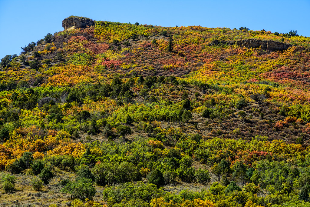 Little Nell TrailHikingPhoto: dconvertini, CC BY-SA 2.0 (via Flickr)0.4 mi
 East Of Aspen TrailCross-country skiingPhoto: This Photo was taken by Wolfgang Moroder.
Feel free to use my photos, but please mention me as the author and send me a message.
This image is not in the public domain. Please respect the copyright protection. It may only be used according to the rules mentioned here. This specifically excludes use in social media, if applicable terms of the licenses listed here not appropriate.
Please do not upload an updated image here without consultation with the Author. The author would like to make corrections only at his own source. This ensures that the changes are preserved.Please if you think that any changes should be required, please inform the author.Otherwise you can upload a new image with a new name. Please use one of the templates derivative or extract., CC BY-SA 3.0 (via Wikimedia Commons)0.8 mi
 East FaceRock climbingPhoto: David Leo Veksler, CC BY-SA 2.0 (via Flickr)2.9 mi
- West Side - Lower ButtressRock climbingPhoto: David Leo Veksler, CC BY-SA 2.0 (via Flickr)2.9 mi
- Difficult Group CampgroundCamping3.4 mi
- Maroon CreekCanoeing3.9 mi
- Castle CreekCanoeing4.8 mi
- Silver Bar CampgroundCamping5 mi
 High School Trail;MaroltCross-country skiingPhoto: Denverjeffrey, CC BY-SA 3.0 (via Wikimedia Commons)~3 min drive
- Moore TrailCross-country skiingPhoto: Denverjeffrey, CC BY-SA 3.0 (via Wikimedia Commons)~3 min drive
 Maroon Gorge TrailCross-country skiingPhoto: Viktor Lapinskii, CC BY-SA 3.0 (via Wikimedia Commons)~4 min drive
 Jaffe ParkCross-country skiingPhoto: redlegsfan21 from Vandalia, OH, United States, CC BY-SA 2.0 (via Wikimedia Commons)~10 min drive
 Maroon Creek RoadSki touringPhoto: This Photo was taken by Wolfgang Moroder.
Feel free to use my photos, but please mention me as the author and send me a message.
This image is not in the public domain. Please respect the copyright protection. It may only be used according to the rules mentioned here. This specifically excludes use in social media, if applicable terms of the licenses listed here not appropriate.
Please do not upload an updated image here without consultation with the Author. The author would like to make corrections only at his own source. This ensures that the changes are preserved.Please if you think that any changes should be required, please inform the author.Otherwise you can upload a new image with a new name. Please use one of the templates derivative or extract., CC BY-SA 3.0 (via Wikimedia Commons)~9 min drive
 ButtermilkDownhill skiingPhoto: Werdna, CC BY-SA 4.0 (via Wikimedia Commons)~5 min drive
 Bernese BoulevardCross-country skiingPhoto: Liam Vo, CC BY 3.0 (via Wikimedia Commons)~4 min drive
- H.S. BallfieldsCross-country skiingPhoto: Denverjeffrey, CC BY-SA 3.0 (via Wikimedia Commons)~3 min drive
 Tom Blake Equestrian TrailCross-country skiingPhoto: Hunter Bryant hunterbryant, CC0 (via Wikimedia Commons)~10 min drive
 Maroon Lake TrailSki touringPhoto: John Fowler from Placitas, NM, USA, CC BY 2.0 (via Wikimedia Commons)~16 min drive
Also worth it near here
Conditions and forecast
Blocked todayA road serving this area is closed; avalanche danger is considerable or higher; agency alerts are in effect for this areaUSFS, State DOT 511, Avalanche.org +1 · checked 18 min agoDaily highs and lows, wind and the chance of precipitation at Start for the next 7 days, from the Open-Meteo model.


Ask about this place
Questions about Benedict Trail: conditions, access, timing. Answers say when something isn't known.
Local outfitters
- SUP Marble22 mi away
- Hanging Lake Adventure Co-op38 mi away
Not on Roamze yet. Their page has how to reach them.
Map and trail data © OpenStreetMap contributors
