Beech Cr - Turkey Snout
At a glance
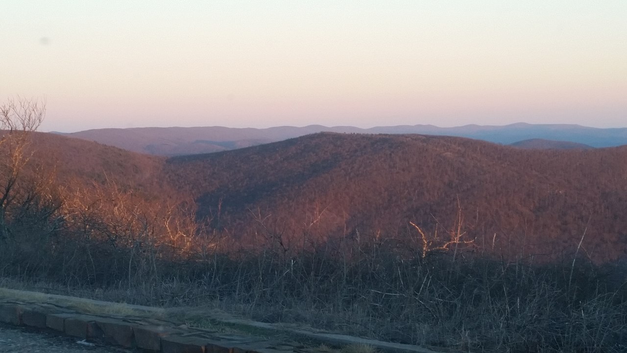
Beech Cr - Turkey Snout is a 4.2-mile loop hike in the Kiamichi Ranger District of Oklahoma's Ouachita National Forest, managed by the Forest Service. The route gains about 365 feet in elevation and is rated moderate, making it a short outing that fits easily into a day on the forest's trail network. Spring and fall are the most comfortable times to go. Typical averages from a nearby weather station in Mena, Arkansas, show October highs around 73°F with lows near 48°F, while July and August average highs of 90°F. The hike takes about 1.5 hours to complete. Two other Beech Cr routes, Beech Cr - Walnut Mountain and Beech Cr - Blue Bouncer, both lie about 1.2 miles away. Paddlers can reach the Mountain Fork canoeing route about 4.2 miles off, and the Ouachita Nrt - Oklahoma hike is about 5.8 miles away.
- loop
- 4.2 mi
- climb
- 365 ft
- route
- Loop
- difficulty
- Moderate
- best months
- Mar–Jun, Sep–Nov
Where it is: Kiamichi Ranger District · Ouachita National Forest
Near: Mena
Best time to visit Beech Cr - Turkey Snout
Best months: March–June and September–November. Best months have typical highs of 55–85 °F, lows of 30 °F or warmer (32 °F where the station doesn't record snow), at most one snowy day and no more than 12 wet days.
Jan
49°
28°
10 wet
Feb
54°
31°
10 wet
Mar
62°
38°
11 wet
Apr
70°
46°
10 wet
May
77°
56°
11 wet
Jun
85°
65°
10 wet
Jul
90°
68°
9 wet
Aug
90°
66°
9 wet
Sep
83°
59°
8 wet
Oct
73°
48°
9 wet
Nov
61°
38°
9 wet
Dec
52°
30°
10 wet
Typical high / low (°F) and days with rain or snow, 1991–2020. Measured at Mena, AR, 12 mi away at 1,152 ft. We don't have this place's elevation, so higher spots nearby can run cooler. This station doesn't record snowfall. Source: NOAA NCEI U.S. Climate Normals 1991–2020.
Been here? Tell people how it was.
 Kerr - ArboretumHikingPhoto: MARELBU, CC BY 3.0 (via Wikimedia Commons)~17 min drive
 Rich MountainHikingPhoto: SlapTheWorld, Public Domain Dedication (CC0) (via Flickr)~20 min drive
 Wsm Eq - 1007HikingPhoto: MARELBU, CC BY 3.0 (via Wikimedia Commons)~22 min drive
- Beech Cr - Blue BouncerHiking~2 min drive
 Mountain Top TrailHikingPhoto: MARELBU, CC BY 3.0 (via Wikimedia Commons)~24 min drive
- Beech Cr - Beech Creek TrailHiking~1 min drive
 Billy CreekHikingPhoto: MARELBU, CC BY 3.0 (via Wikimedia Commons)~24 min drive
- BILLY CREEK WESTHikingPhoto: MARELBU, CC BY 3.0 (via Wikimedia Commons)~26 min drive
- Beech Cr - Walnut MountainHiking~2 min drive
 BILLY CREEK SPURHikingPhoto: MARELBU, CC BY 3.0 (via Wikimedia Commons)~26 min drive
Conditions and forecast
Caution at last checkAgency alerts are in effect for this areaUSFS · checked 19 h agoDaily highs and lows, wind and the chance of precipitation at Start for the next 7 days, from the Open-Meteo model.

Ask about this place
Questions about Beech Cr - Turkey Snout: conditions, access, timing. Answers say when something isn't known.
Local outfitters
- Beavers Bend Adventures33 mi away
- River View Cabins & Canoes41 mi away
Not on Roamze yet. Their page has how to reach them.
