Acoma Rock
 Photo: Thomas Moran, Public domain (via Wikimedia Commons)
At a glance
Acoma Rock is a summit in Cibola County, New Mexico, at about 6,597 feet.
- summit
- 6,597 ft
- best months
- Apr–May, Sep–Oct
Near: Grants
Best time to visit Acoma Rock
Best months: April–May and September–October. Best months have typical highs of 55–85 °F, lows of 30 °F or warmer (32 °F where the station doesn't record snow), at most one snowy day and no more than 12 wet days.
Jan
49°
18°
3 wet · 2 snow
Feb
53°
22°
2 wet · 1 snow
Mar
61°
27°
2 wet · 1 snow
Apr
69°
34°
2 wet
May
78°
42°
3 wet
Jun
88°
51°
3 wet
Jul
90°
57°
8 wet
Aug
87°
55°
8 wet
Sep
81°
48°
5 wet
Oct
70°
36°
3 wet
Nov
58°
25°
2 wet · 1 snow
Dec
48°
17°
2 wet · 1 snow
Typical high / low (°F) and days with rain or snow, 1991–2020. Measured at Cubero, NM, 14.1 mi away at 6,195 ft. Source: NOAA NCEI U.S. Climate Normals 1991–2020.
Been here? Tell people how it was.
We don't know of a mapped trail or route to the summit of Acoma Rock. Plan the approach with local maps, a guidebook or a local guide, and check conditions before you go.
- Encerrito7,051 ft · New Mexico2 routes20 mi away
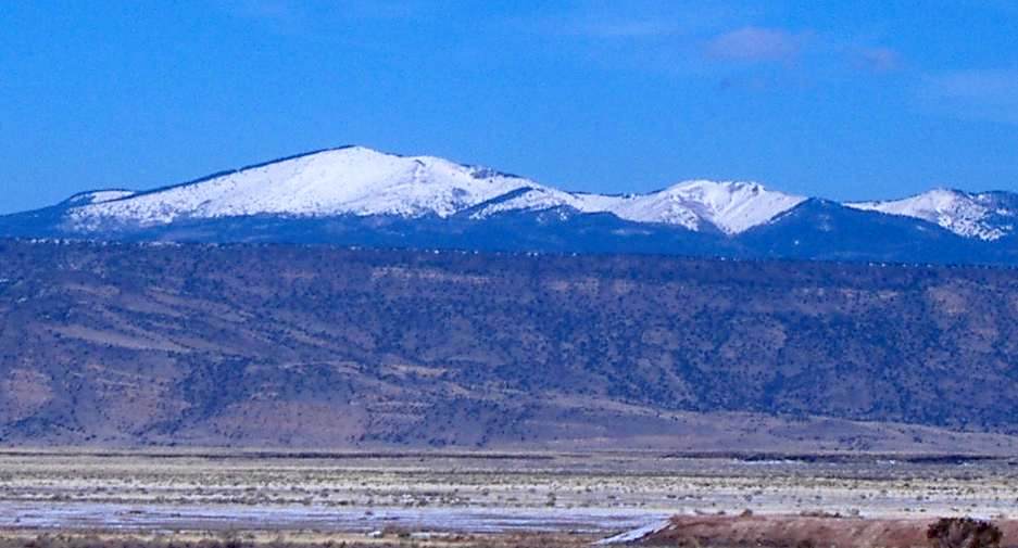 Mount Taylor11,301 ft · New Mexico1 route24 mi awayPhoto: ANNAfoxlover at English Wikipedia / Later version(s) were uploaded by Casito at English Wikipedia., Public domain (via Wikimedia Commons)
- Cerrito Comadre7,770 ft · New Mexico1 route33 mi away
- El Cerro De Los Lunas5,954 ft · New Mexico2 routes45 mi away
- J A Volcano5,939 ft · New Mexico2 routes49 mi away
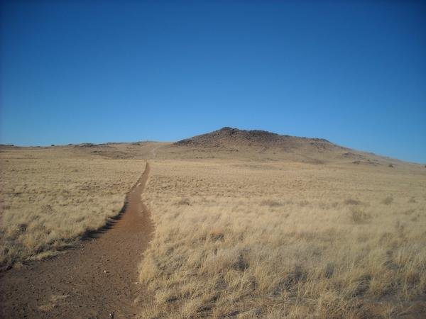 Black Volcano5,981 ft · New Mexico2 routes49 mi awayPhoto: User:michaelh2001, Public domain (via Wikimedia Commons)
- Mount TaylorSummitPhoto: ANNAfoxlover at English Wikipedia / Later version(s) were uploaded by Casito at English Wikipedia., Public domain (via Wikimedia Commons)~41 min drive
- Black VolcanoSummitPhoto: User:michaelh2001, Public domain (via Wikimedia Commons)~1h 24m drive
- EncerritoSummit~35 min drive
- Cerrito ComadreSummit~57 min drive
- El Cerro De Los LunasSummit~1h 17m drive
- J A VolcanoSummit~1h 24m drive
- CinderSummit~1h 24m drive
- Vulcan VolcanoSummit~1h 24m drive
- Bond VolcanoSummit~1h 25m drive
- Butte VolcanoSummit~1h 25m drive
Conditions and forecast
Daily highs and lows, wind and the chance of precipitation at the summit for the next 7 days, from the Open-Meteo model.
Questions about Acoma Rock
How tall is Acoma Rock?
6,597 ft (2,011 m).
Is there a trail to the top of Acoma Rock?
We don't know of a mapped trail or route to the summit. Plan the approach with local maps, a guidebook or a local guide.
Ask about this place
Questions about Acoma Rock: conditions, access, timing. Answers say when something isn't known.
