Tent
Campground
0.5 mi from the trail
Oak Tree Trail is a short, easy hike in Shawnee National Forest's Hidden Springs Ranger District in southern Illinois. The trail is about 2 miles long, with a total elevation gain of 217 feet, and it makes a simple out-and-back from a low point of about 510 feet to a high of about 606 feet. The climb is rolling, and the steepest stretch comes at about 0.8 miles in, with a grade of about 5 percent. Spring and fall are the most comfortable times to go. Typical averages from a nearby weather station show October highs around 71°F with lows near 46°F, and May highs around 77°F. July and August run hotter, with highs in the upper 80s. The trail sits close to several other outings. Red Dog Lake Glendale #064 and The Bluff Trail Lake Glendale #061 are both within a quarter mile. Picnic Area Boulderfield, a climbing area, is about 0.7 miles away, and Oak Point - Lake Glendale campground is about 1.5 miles off.
Where it is: Hidden Springs Ranger District · Shawnee National Forest
Near: Paducah
Mid-February to late May and late September to mid-December are usually best for hiking here.
Typical highs of 47–79°F and lows of 30°F or warmer in those weeks.
Typical weather: NOAA 1991–2020 normals at Dixon Springs Agric Ctr, IL, 4 mi away. Not a forecast.
Typical weather by monthBest months: March–May and October–December. Best months are the ones mostly made of the best weeks for hiking: typical temperatures in its comfortable range, few snowy days and not usually wet, judged with the same limits as our good-day forecasts.
Jan
43°
25°
8 wet
Feb
49°
29°
8 wet
Mar
59°
37°
9 wet
Apr
70°
46°
10 wet
May
77°
56°
10 wet
Jun
85°
63°
8 wet
Jul
88°
66°
7 wet
Aug
87°
65°
7 wet
Sep
82°
57°
6 wet
Oct
71°
46°
7 wet
Nov
57°
37°
8 wet
Dec
46°
29°
9 wet
Typical high / low (°F) and days with rain or snow, 1991–2020. Measured at Dixon Springs Agric Ctr, IL, 3.5 mi away at 527 ft. This station doesn't record snowfall. Source: NOAA NCEI U.S. Climate Normals 1991–2020.
Been here? Tell people how it was.
 Cistern Loop #059HikingPhoto: usfs_Eastern_Region, Public Domain Mark (via Flickr)~1 min driveLake Glendale TrailHikingPhoto: usfs_Eastern_Region, Public Domain Mark (via Flickr)~3 min drive
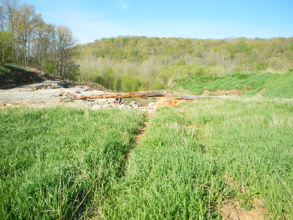 Millstone LakeHikingPhoto: Curtis Abert, CC BY 2.0 (via Flickr)~11 min drive
 Summers Pass Lake Glendale #053HikingPhoto: Curtis Abert, CC BY 2.0 (via Flickr)~2 min driveJackson FallsHikingPhoto: Curtis Abert, CC BY 2.0 (via Flickr)~13 min drive
 Bell Smith SpringsHikingPhoto: Curtis Abert, CC BY 2.0 (via Flickr)~16 min drive
 Lower Bluff Lake Glendale #055HikingPhoto: Curtis Abert, CC BY 2.0 (via Flickr)~2 min drive
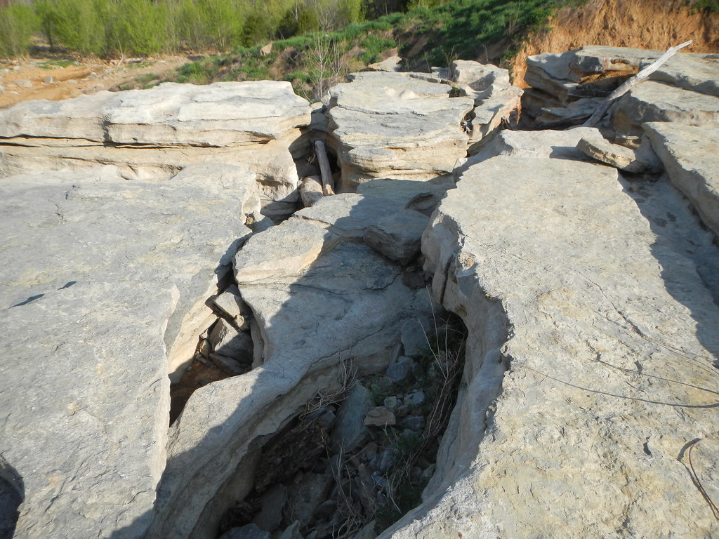 Cove Hollow TrailHikingPhoto: Curtis Abert, CC BY 2.0 (via Flickr)~13 min drive
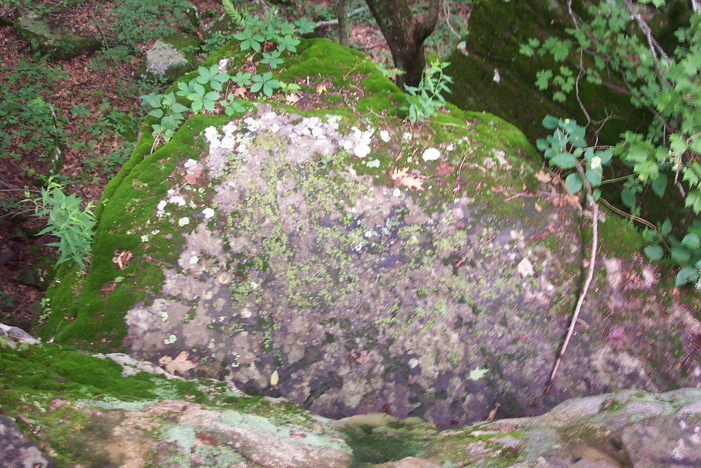 Millstone Bluff TrailHikingPhoto: Curtis Abert, CC BY 2.0 (via Flickr)~10 min drive
Daily highs and lows, wind and the chance of precipitation at Start for the next 7 days, from the Open-Meteo model.
Questions about Oak Tree Trail: conditions, access, timing. Answers say when something isn't known.
Tent
Campground
Forman Depot Museum
Museum
Places © OpenStreetMap contributors
More in GorevilleMap and trail data © OpenStreetMap contributors
