Primitive Campsite Jackson Falls
Campground
Campground · 2.8 mi from the trail
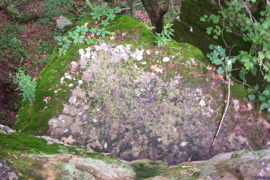 Photo: Curtis Abert, CC BY 2.0 (via Flickr)
Closure in the area
There's a closure order in Shawnee National Forest. It doesn't name Millstone Bluff Trail, so check the source for the area it covers (2 listed).
Boil Water Order at Pharaoh Campground at Garden of the Gods
Agency closure covering Shawnee National Forest · USFS · Shawnee National Forest
McClure Road Closed
Agency closure covering Shawnee National Forest · USFS · Shawnee National Forest
Lane reduction on bridge near IL Iron Furnace
Agency alert covering Shawnee National Forest · USFS · Shawnee National Forest
Failing Culvert on Oakwood Bottoms Road FSR # 786
Agency alert covering Shawnee National Forest · USFS · Shawnee National Forest
Trail Segment Closed - Lincoln Memorial
Agency alert covering Shawnee National Forest · USFS · Shawnee National Forest
As of · Source: USFS · Shawnee National Forest. Agencies don't list every closure — check before you go.
Millstone Bluff Trail is a short, easy hike in Shawnee National Forest's Hidden Springs Ranger District in southern Illinois, managed by the Forest Service. The trail is about half a mile long, with a total elevation gain of 97 feet, and it starts at roughly 734 feet, rising to a high point of 786 feet before descending to about 557 feet. The steepest stretch comes at about 0.38 miles in, with a grade of 16 percent. Spring and fall are the most comfortable times to go. Typical averages from a nearby weather station show October highs around 71°F with lows near 46°F, and May highs around 77°F. That station sits about 260 feet lower than the trail, so temperatures on the bluff run a little cooler. The trail makes an easy pairing with other outings in the area. Bay Creek, a canoeing spot, is just 0.1 mile away. Millstone Lake and Jackson Falls are both within about a mile and a half, and The Gentleman's Grotto, a climbing area, is about 2 miles off.
Primitive Campsite Jackson Falls
Campground
Water Fall
Attraction
Places © OpenStreetMap contributors
More in Goreville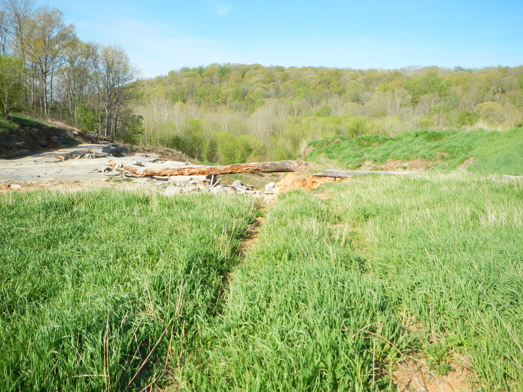 Millstone LakeHikingPhoto: Curtis Abert, CC BY 2.0 (via Flickr)1 mi
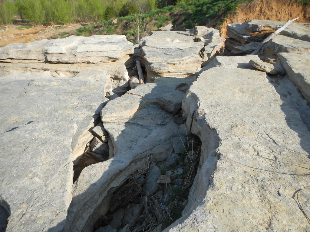 Jackson FallsHikingPhoto: Curtis Abert, CC BY 2.0 (via Flickr)1.3 mi
Source: Roamze catalog (indexable pages within 10 miles, PostGIS distance)
Millstone LakeHiking · ~2 min drivePhoto: Curtis Abert, CC BY 2.0 (via Flickr)Jackson FallsHiking · ~2 min drivePhoto: Curtis Abert, CC BY 2.0 (via Flickr)Jackson FallsHiking · ~3 min drivePhoto: Curtis Abert, CC BY 2.0 (via Flickr) Bell Smith SpringsHiking · ~7 min drivePhoto: Curtis Abert, CC BY 2.0 (via Flickr)RanchHiking · ~2 min drivePhoto: Curtis Abert, CC BY 2.0 (via Flickr)Cove Hollow TrailHiking · ~3 min drivePhoto: Curtis Abert, CC BY 2.0 (via Flickr)
 Lower Bluff Lake Glendale #055Hiking · ~8 min drivePhoto: Curtis Abert, CC BY 2.0 (via Flickr)
 Lake Glendale TrailHiking · ~7 min drivePhoto: usfs_Eastern_Region, Public Domain Mark (via Flickr)
Best months: March–June and September–November. Best months have typical highs of 55–85 °F, lows of 30 °F or warmer (32 °F where the station doesn't record snow), at most one snowy day and no more than 12 wet days.
Jan
43° / 25°
8 wet
Feb
49° / 29°
8 wet
Mar
59° / 37°
9 wet
Apr
70° / 46°
10 wet
May
77° / 56°
10 wet
Jun
85° / 63°
8 wet
Jul
88° / 66°
7 wet
Aug
87° / 65°
7 wet
Sep
82° / 57°
6 wet
Oct
71° / 46°
7 wet
Nov
57° / 37°
8 wet
Dec
46° / 29°
9 wet
Typical high / low (°F) and days with rain or snow, 1991–2020. Measured at Dixon Springs Agric Ctr, IL, 2.4 mi away at 527 ft. This station doesn't record snowfall. Source: NOAA NCEI U.S. Climate Normals 1991–2020.
Map and trail data © OpenStreetMap contributors
