Group
Campground
Campground · 0.6 mi from the trail
 Photo: Curtis Abert, CC BY 2.0 (via Flickr)
Closure in the area
There's a closure order in Shawnee National Forest. It doesn't name Summers Pass Lake Glendale #053, so check the source for the area it covers (2 listed).
Boil Water Order at Pharaoh Campground at Garden of the Gods
Agency closure covering Shawnee National Forest · USFS · Shawnee National Forest
McClure Road Closed
Agency closure covering Shawnee National Forest · USFS · Shawnee National Forest
Lane reduction on bridge near IL Iron Furnace
Agency alert covering Shawnee National Forest · USFS · Shawnee National Forest
Failing Culvert on Oakwood Bottoms Road FSR # 786
Agency alert covering Shawnee National Forest · USFS · Shawnee National Forest
Trail Segment Closed - Lincoln Memorial
Agency alert covering Shawnee National Forest · USFS · Shawnee National Forest
As of · Source: USFS · Shawnee National Forest. Agencies don't list every closure — check before you go.
Summers Pass Lake Glendale #053 is an easy out-and-back hike in the Hidden Springs Ranger District of Shawnee National Forest in southern Illinois, managed by the Forest Service. The route is about 1.8 miles long, with a total elevation gain of 440 feet, and it reaches a high point of 665 feet. The climb is steady, and the steepest stretch comes at about 0.8 miles, with an 8% grade. Spring and fall are the most comfortable times to go. Typical averages from a nearby weather station at Dixon Springs show October highs around 71°F with lows near 46°F, and May highs around 77°F. July and August run hotter, with highs in the upper 80s. The hike starts close to several other destinations. Cistern Loop #059 and Lower Bluff Lake Glendale #055 are each about 0.6 miles away, and Duck Bay - Lake Glendale campground is about 0.6 miles off. Climbers can find the Picnic Area Boulderfield about 1.5 miles away.
Group
Campground
Forman Depot Museum
Museum
Places © OpenStreetMap contributors
More in Goreville Cistern Loop #059HikingPhoto: usfs_Eastern_Region, Public Domain Mark (via Flickr)0.6 mi
 Lower Bluff Lake Glendale #055HikingPhoto: Curtis Abert, CC BY 2.0 (via Flickr)0.6 mi
Source: Roamze catalog (indexable pages within 10 miles, PostGIS distance)
Cistern Loop #059Hiking · Next doorPhoto: usfs_Eastern_Region, Public Domain Mark (via Flickr)Lake Glendale TrailHiking · ~1 min drivePhoto: usfs_Eastern_Region, Public Domain Mark (via Flickr)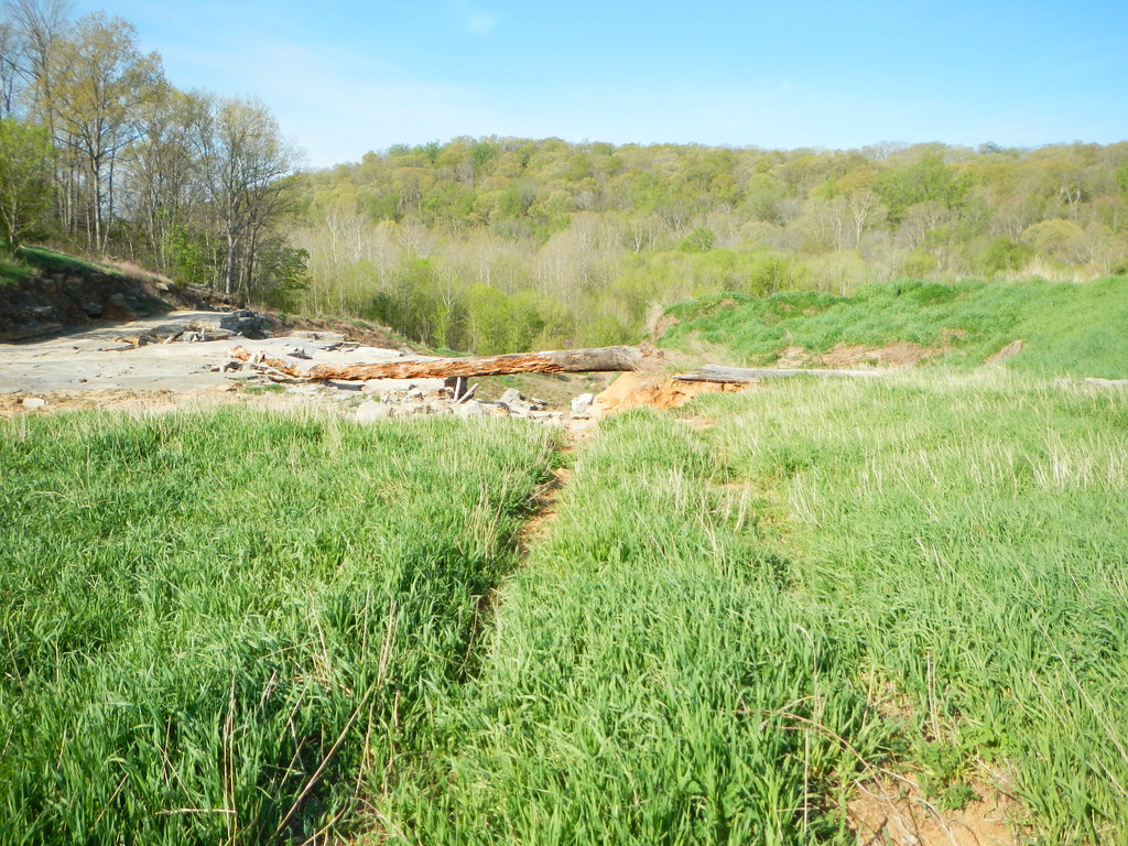 Millstone LakeHiking · ~10 min drivePhoto: Curtis Abert, CC BY 2.0 (via Flickr)Lower Bluff Lake Glendale #055Hiking · Next doorPhoto: Curtis Abert, CC BY 2.0 (via Flickr)Jackson FallsHiking · ~11 min drivePhoto: Curtis Abert, CC BY 2.0 (via Flickr)
 Bell Smith SpringsHiking · ~15 min drivePhoto: Curtis Abert, CC BY 2.0 (via Flickr)
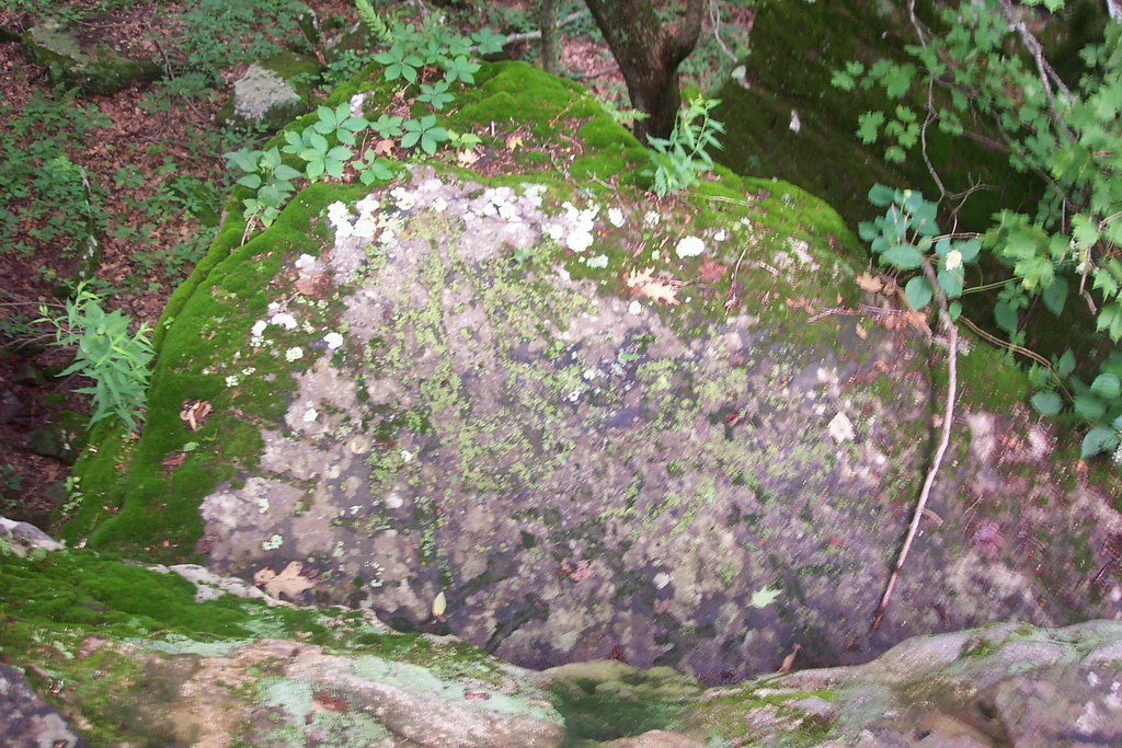 Millstone Bluff TrailHiking · ~9 min drivePhoto: Curtis Abert, CC BY 2.0 (via Flickr)
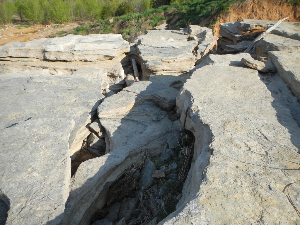 Cove Hollow TrailHiking · ~12 min drivePhoto: Curtis Abert, CC BY 2.0 (via Flickr)RanchHiking · ~9 min drivePhoto: Curtis Abert, CC BY 2.0 (via Flickr)
Best months: March–June and September–November. Best months have typical highs of 55–85 °F, lows of 30 °F or warmer (32 °F where the station doesn't record snow), at most one snowy day and no more than 12 wet days.
Jan
43° / 25°
8 wet
Feb
49° / 29°
8 wet
Mar
59° / 37°
9 wet
Apr
70° / 46°
10 wet
May
77° / 56°
10 wet
Jun
85° / 63°
8 wet
Jul
88° / 66°
7 wet
Aug
87° / 65°
7 wet
Sep
82° / 57°
6 wet
Oct
71° / 46°
7 wet
Nov
57° / 37°
8 wet
Dec
46° / 29°
9 wet
Typical high / low (°F) and days with rain or snow, 1991–2020. Measured at Dixon Springs Agric Ctr, IL, 2.7 mi away at 527 ft. This station doesn't record snowfall. Source: NOAA NCEI U.S. Climate Normals 1991–2020.
Map and trail data © OpenStreetMap contributors
