Hypertension
Hypertension is a climbing area in Wyoming with 5 routes.
- 5 routes
- 5.10- – 5.12
- Bouldering · Trad
Is Hypertension open right now?
Alert in the area
The Forest Service lists 3 alerts for Medicine Bow-Routt National Forest.
Access Impact: Big Creek Lakes Dam Project
Agency alert covering Medicine Bow-Routt National Forest · USFS · Medicine Bow-Routt National Forest
Trail & Access Impact: Stillwater Reservoir Project
Agency alert covering Medicine Bow-Routt National Forest · USFS · Medicine Bow-Routt National Forest
Snowy Range - 2026 Active Vegetation Operations
Agency alert covering Medicine Bow-Routt National Forest · USFS · Medicine Bow-Routt National Forest
As of · Source: USFS · Medicine Bow-Routt National Forest. Agencies don't list every closure — check before you go.
Best time to visit Hypertension
Best months: May–September. Best months have typical highs of 55–85 °F, lows of 30 °F or warmer (32 °F where the station doesn't record snow), at most one snowy day and no more than 12 wet days.
Jan
33° / 12°
7 wet
Feb
35° / 15°
7 wet
Mar
44° / 21°
8 wet
Apr
51° / 28°
11 wet
May
60° / 36°
12 wet
Jun
73° / 46°
10 wet
Jul
81° / 52°
11 wet
Aug
79° / 49°
10 wet
Sep
72° / 43°
8 wet
Oct
56° / 31°
8 wet
Nov
43° / 23°
7 wet
Dec
34° / 14°
7 wet
Typical high / low (°F) and days with rain or snow, 1991–2020. Measured at Laramie 4se, WY, 10.6 mi away at 7,390 ft. The station sits about 800 ft lower than this place, so expect it a little cooler here. This station doesn't record snowfall. Source: NOAA NCEI U.S. Climate Normals 1991–2020.
Hypertension is a climbing area in the Laramie Ranger District of Wyoming's Medicine Bow-Routt National Forest, managed by the Forest Service. It sits among several other climbing areas, with The Bunker and The Schoolyard each about 0.1 mile away. The climbing here includes bouldering and traditional routes. Five routes are listed in total, with grades ranging from about V4 to 5.12. The names Sweet Unnamed Crack and Shart Attack are among the bouldering and trad options, and Hypertension itself is a trad route first climbed in 1981 by Mark Wilford and Skip Guerin. Summer is the most comfortable time to visit. Typical averages from a nearby weather station in Laramie, which sits about 800 feet lower than the area, show July highs around 81°F and lows near 52°F, while winter highs stay in the low 30s. For more time on foot, the Regolith Trail and Green Mountain Trail are each about 0.7 mile away. Vedauwoo Campground, about 1.9 miles off, is the closest place to camp.
Keep exploring — more climbs worth the drive
 Photo: Tony Webster, CC BY-SA 2.0 (via Flickr)
Lower Blair I
~1 min drive
Lower Blair I in Wyoming has 29 climbing routes across 15 grades, offering sport and trad options.
Photo: Tony Webster, CC BY-SA 2.0 (via Flickr)Lower Blair II
~1 min drive
Lower Blair II in Wyoming has 9 climbing routes across 7 grades, offering sport and trad options.
Photo: Tony Webster, CC BY-SA 2.0 (via Flickr)Lower Blair III
~1 min drive
Lower Blair III in Wyoming has 33 climbing routes with 26 difficulty grades.
 Photo: pgzdbxte93, CC BY-SA 2.0 (via Flickr)
Land of the Rising Moon
~2 min drive
14-route climbing area in Wyoming with bouldering pads and trad climbing.
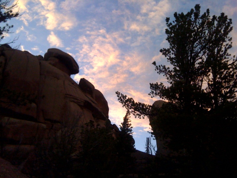 Photo: Laurel Fan, CC BY-SA 2.0 (via Flickr)
Old Folks' Wall
~2 min drive
Old Folks' Wall in Wyoming has 7 climbing routes with 6 difficulty grades.
Coyote Rocks
~1 min drive
Coyote Rocks in Wyoming has 17 climbing routes across 12 difficulty grades, featuring bouldering pads and trad.
Lower Blair I, II, III, and vicinity
~1 min drive
7 trad routes at Lower Blair I, II, III, and vicinity in Wyoming.
Miscellaneous Lower Blair routes / problems
~1 min drive
9 climbing routes in Wyoming with bouldering pads and trad.
East Corner
~1 min drive
East Corner in Wyoming has 7 climbing routes across 5 grades, offering mixed, sport, and trad styles.
North Corner
~1 min drive
North Corner in Wyoming has 7 climbing routes with bouldering pads, mixed, and trad styles.
Also worth it near here


