Loading trail…

Free — you'll pick up right here.
Save this plan
Sign up to save your own editable copy — you'll pick up right here.
Wyoming
47.5 mi
Distance
2,170 ft
Gain
16h 55m
Time
No conditions check on file for this trail yet — always verify current conditions before you go.
Why you'll love it
Yellowstone River Trail
AI-suggested draft · review before you go
No permit or access details on file for this trail — check with the local land manager before you go.
The Yellowstone River Trail is a 23.7-mile loop located in Wyoming. This extended route follows the Yellowstone River, offering hikers a substantial backcountry experience through the region's natural landscape. The trail's loop configuration allows hikers to return to their starting point without retracing the same path. The full distance makes this trail suitable for experienced hikers prepared for a multi-day adventure or those seeking a challenging day hike. The loop format provides flexibility in pacing and allows hikers to experience different sections of the river corridor throughout their journey. The trail provides access to the Yellowstone River ecosystem, with opportunities to observe the waterway from various vantage points along the route. Hikers should plan accordingly for the extended distance and pack sufficient water and supplies for the duration of the hike. Before heading out, check current trail conditions and any access restrictions with local authorities, as conditions in Wyoming can vary seasonally.
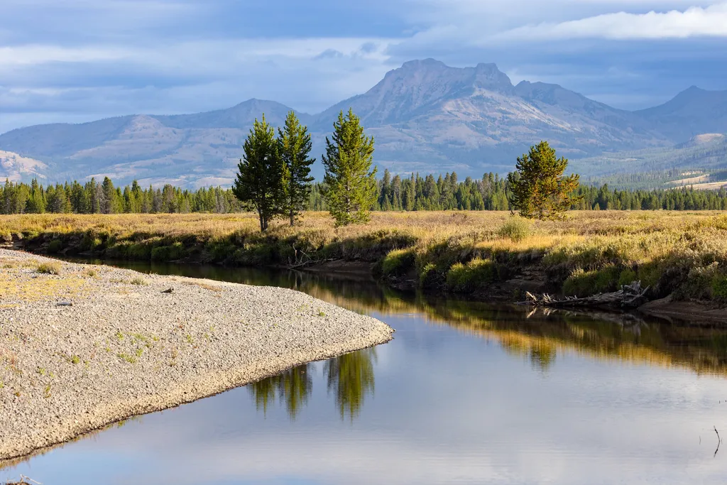
Thorofare Trailhead (6K2)
~5 min drive
<p>This is a remote trailhead at the eastern boundary of the park that is not accessible by road. From this trailhead, you can embark on the following trail within the park:</p> <ul> <li>Thorofare Trail</li> <li>Hawk's Lake Trail</li> <li>Thorofare–South Boundary Cutoff Trail<…

Pass Creek
~15 min drive
19 mi · Hard
Thorofare Cabin Trail
~5 min drive
2.5 mi · Easy
Hidden Creek
~13 min drive
5.2 mi · Moderate
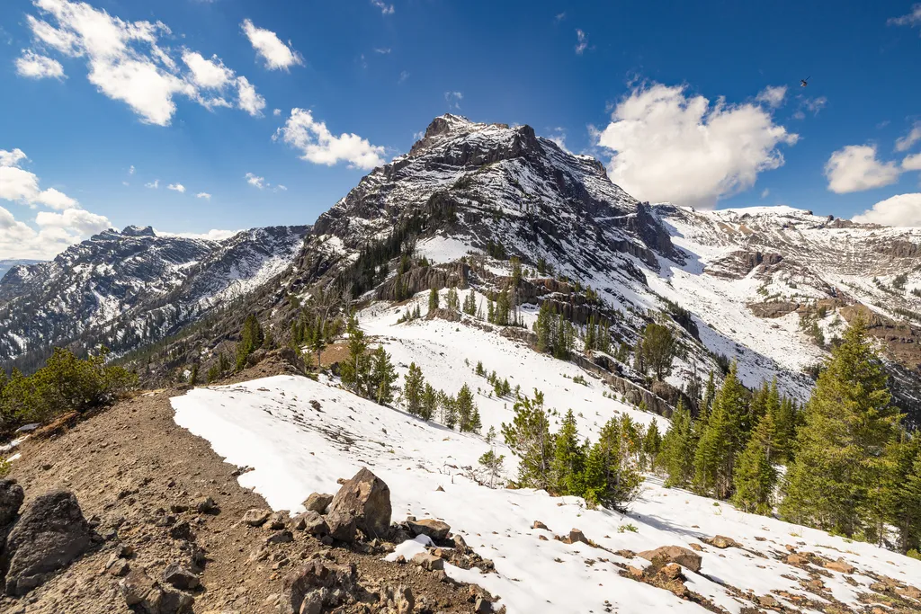
Eagle Pass Trailhead (6K1)
~28 min drive
<p>This is a remote trailhead at the eastern boundary of the park that is not accessible by road. From this trailhead, you can embark on the following trail within the park:</p> <ul> <li>Mountain Creek Trail</li> </ul>

North Buffalo Fork Trail
~17 min drive
20 mi · Hard
Woodard Canyon Trail
~15 min drive
11 mi · Moderate
Hawks Rest Trailhead (6K5)
~5 min drive
<p>This is a remote trailhead at the eastern boundary of the park that is not accessible by road. From this trailhead, you can embark on the following trail within the park:</p> <ul> <li>Thorofare Trail</li> <li>Hawk's Lake Trail</li> <li>Thorofare–South Boundary Cutoff Trail<…

Mink Creek Trail
~20 min drive
15 mi · Hard
Eno Lake Trail
~18 min drive
3.5 mi · Moderate
Also worth it near here