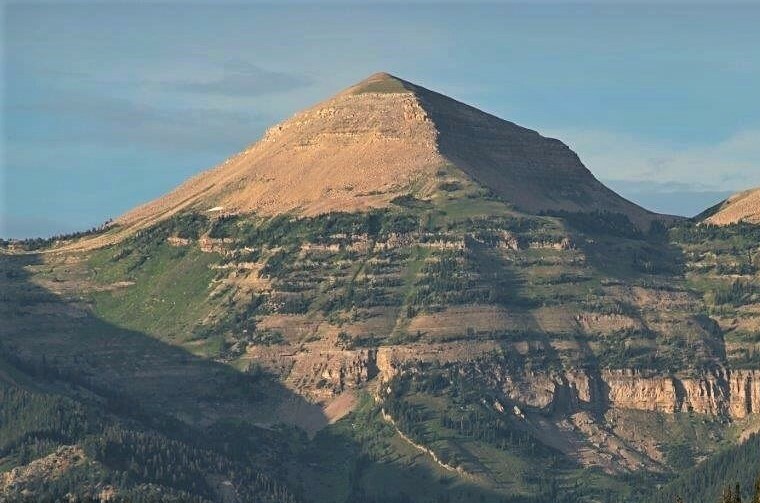
West Dell Creek
- 6.9 mi
- loop
- 1,030 ft
- climb
- 8,354 ft
- high point
- Loop
- route
- Jun–Aug
- best months
Is West Dell Creek open right now?
No closures listed
The Forest Service lists no closures for Bridger-Teton National Forest.
As of · Source: USFS · Bridger-Teton National Forest. Agencies don't list every closure — check before you go.
West Dell Creek is a 6.9-mile loop hike in the Big Piney Ranger District of the Bridger-Teton National Forest in Wyoming. The trail rises from a low point of 6,941 feet to a high of 8,354 feet, with a total elevation gain of 1,030 feet, and it is rated hard. The Forest Service manages the land, and the route is natural-surface. Horses are allowed. Summer is the most comfortable time to go. Typical averages from a nearby weather station at Darwin run to highs around 72°F in July, with lows near 35°F, while winter highs sit in the mid-20s with lows below zero. The trail is open from May 1 to October 31, and the estimated time for the trip is about three hours. Dell Creek is half a mile away, and Rock Creek and Parody Draw are within a couple of miles. Granite Creek Campground is about 9 miles off.
Local outfitters
- The Virginian RV Park27 mi away
- Greys River Cove35 mi away
Not on Roamze yet. Their page has how to reach them.
- Dell CreekHiking0.5 mi
- Rock CreekHiking1.4 mi
- Parody DrawHiking2.1 mi
- Jack CreekCanoeing2.6 mi
- Upper Shoal CreekHiking4.2 mi
- Fisherman CreekCanoeing7.8 mi
- Granite Creek CampgroundCamping9 mi
- Kozy CampgroundCamping9.6 mi
Source: Roamze catalog (indexable pages within 10 miles, PostGIS distance)
- Dell CreekHiking · Next door
- Jack CreekHiking · ~5 min drive
- RASBERRY RIDGE LOOP SPURHiking · ~7 min drive
- Granite Creek TrailHiking · ~14 min drive
- Rock CreekHiking · ~2 min drive
- Jackpine CreekHiking · ~9 min drive
- Granite-Shoal CreekHiking · ~8 min drive
- Parody DrawHiking · ~4 min drive
- Tosi CreekHiking · ~14 min drive
- Shoal Falls TrailHiking · ~9 min drive
Best time to visit West Dell Creek
Best months: June–August. Best months have typical highs of 55–85 °F, lows of 30 °F or warmer (32 °F where the station doesn't record snow), at most one snowy day and no more than 12 wet days.
Jan
26° / -6°
9 wet
Feb
29° / -4°
9 wet
Mar
36° / 5°
10 wet
Apr
43° / 16°
10 wet
May
54° / 26°
11 wet
Jun
64° / 32°
10 wet
Jul
72° / 35°
8 wet
Aug
71° / 34°
9 wet
Sep
62° / 28°
8 wet
Oct
48° / 19°
8 wet
Nov
35° / 6°
9 wet
Dec
25° / -5°
10 wet
Typical high / low (°F) and days with rain or snow, 1991–2020. Measured at Darwin Rch, WY, 13.2 mi away at 8,190 ft. This station doesn't record snowfall. Source: NOAA NCEI U.S. Climate Normals 1991–2020.