

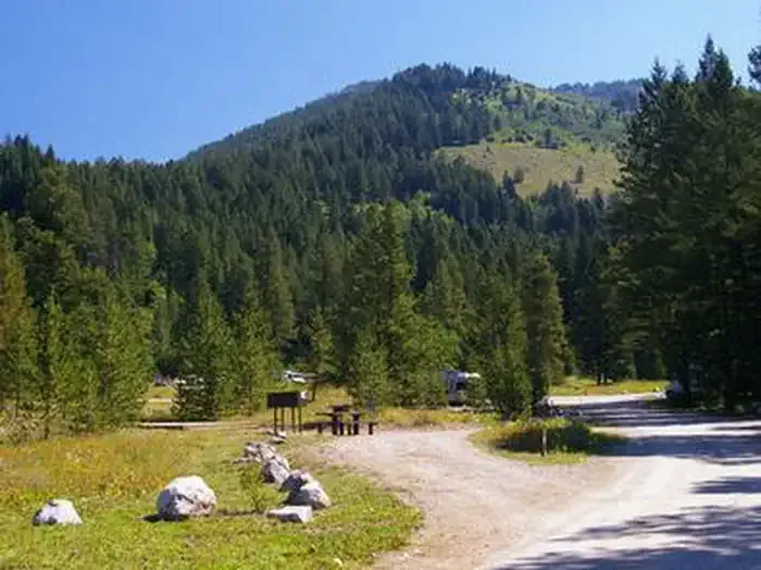
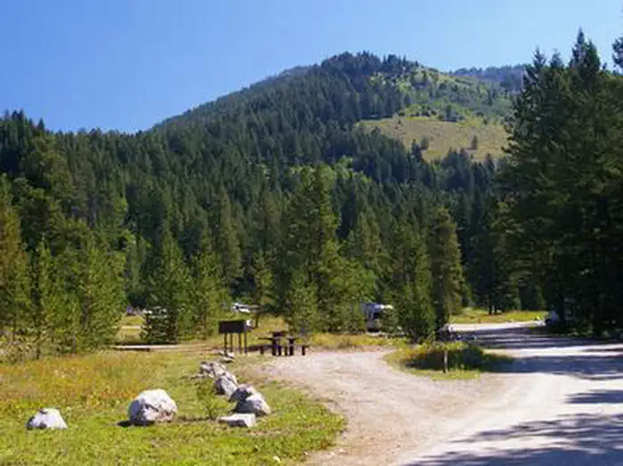
The Virginian RV Park
Hiking business nearby (~13 mi away) — hasn't claimed their Roamze page yet
Free — you'll pick up right here.
Watch this trail
Sign up to watch it — saving subscribes you to gate, closure and report changes.
Wyoming
31.3 mi
Distance
649 ft
Gain
10h 44m
Time
We won't guess. Here is exactly what we do and don't know.
What we do know
Inside Grand Teton National Park
National Park unit boundary is mapped — agency alerts for it feed this page automatically.
Boundary data
What's missing
No access route mapped
We don't yet know which road reaches this trailhead, so we can't tell you if it's gated.
Nobody's filed a report here yet — be the first.
Why you'll love it
Valley Trail
AI-suggested draft · review before you go
No permit or access details on file for this trail — check with the local land manager before you go.
Valley Trail is a 15.6-mile out-and-back hike located in Wyoming. This trail offers hikers an opportunity to explore the scenic valleys of the region while enjoying a moderately long day hike experience. The out-and-back route structure allows hikers to turn around at any point that suits their fitness level and available time, making it accessible to a range of abilities. The trail traverses through the characteristic landscape of Wyoming, providing views of the area's natural terrain. With a total distance of 15.6 miles for the round trip, hikers should plan accordingly and bring adequate water and supplies for the full outing. The out-and-back format means hikers will experience the same scenery on both the approach and return, allowing them to notice different details and wildlife throughout the day. This trail is suitable for those seeking a substantial hiking experience in Wyoming's outdoor environment. Whether you're looking for a full 15.6-mile adventure or a shorter out-and-back option by turning around early, Valley Trail provides flexibility for various hiking preferences and fitness levels.
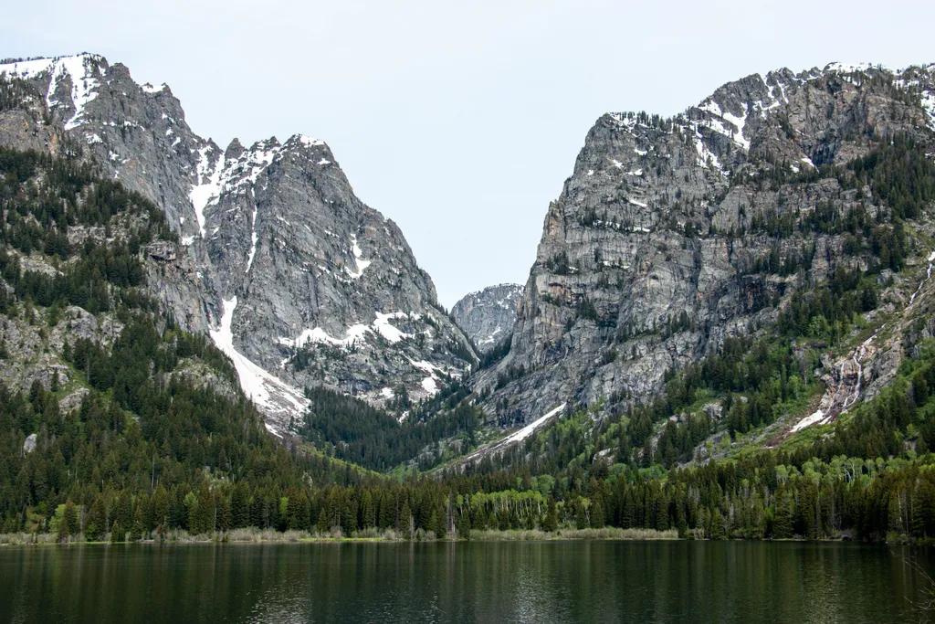
Death Canyon Trailhead
~2 min drive
<p><b>Location:</b> Access the Death Canyon trailhead from the Moose-Wilson Road. Travel three miles south from Moose and turn north on a spur road. The last mile leading to the trailhead is a narrow, rough dirt road recommended for high-clearance vehicles.<br /> <br /> <b>Not…

Aspen Ridge Trail
~2 min drive
5.4 mi · Easy
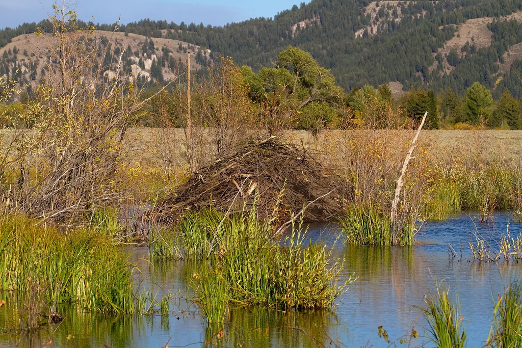
Murie Homestead Cabin
~7 min drive
<p>In 1945, the Muries bought the STS Ranch, with Adolph and Louise living in the original building now known as the Homestead. In 1926, the Murie brothers began their master's degree programs at the University of Michigan in the young science of ecology. While Olaus' studies…

Alaska Basin-Buck Mt Pass
~8 min drive
4.4 mi · Moderate
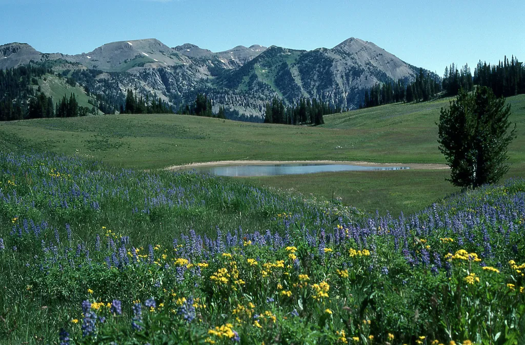
Granite Canyon Trailhead
~5 min drive
<p><b>Location:</b> Access the Granite Canyon Trailhead one mile north of the Granite Entrance Station on the Moose-Wilson Road. The road is not accessible to vehicles over 23.3 feet long or trailers. The parking lot is small so arrive early in the day to secure your space.<br…
Windy Point Turnout
~8 min drive
<p>Climbing the hill from the Moose Entrance Gate the central Teton Range fills the skyline. This point has two waysides signs and provides parking for multi-use pathway users who want to avoid climbing the hill from Moose! During fall, the bull elk bugle along this stretch of…

Taggart Lake Trail
~8 min drive
7.3 mi · Moderate
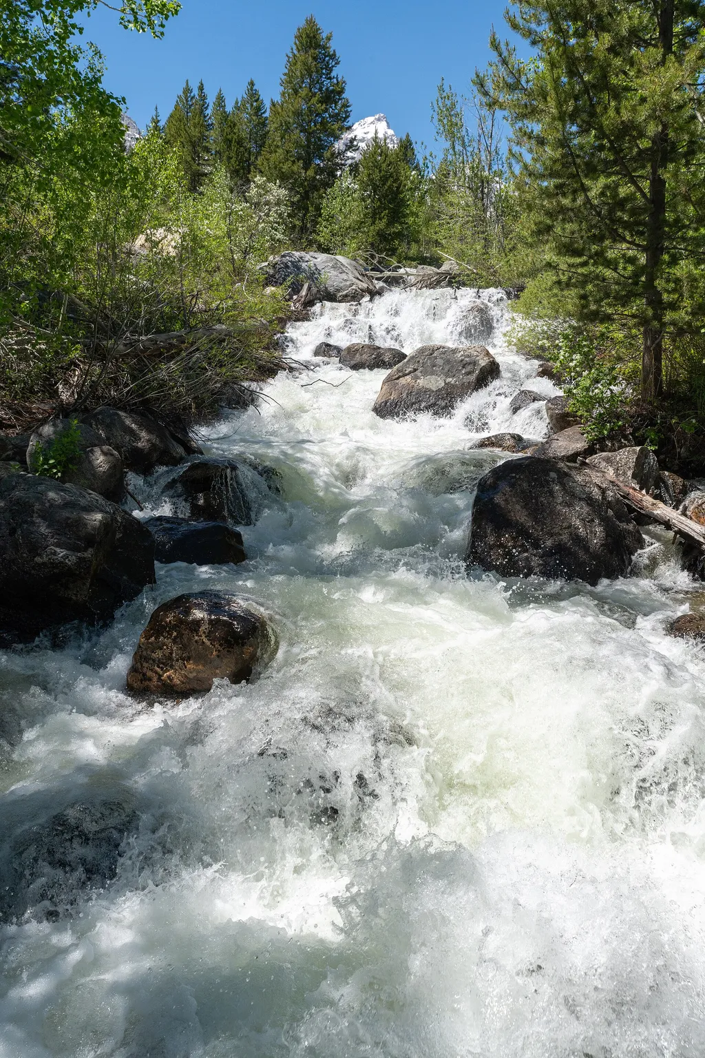
Taggart Lake Trailhead
~8 min drive
<p><b>Location:</b> Access the Taggart Lake trailhead from the Teton Park Road three and a half miles northwest from Moose Junction.<br /> <br /> <b>Notes:</b> Visitor services include a modest-sized parking lot, a vault toilet, map brochure box, bike rack and a trailhead sign…
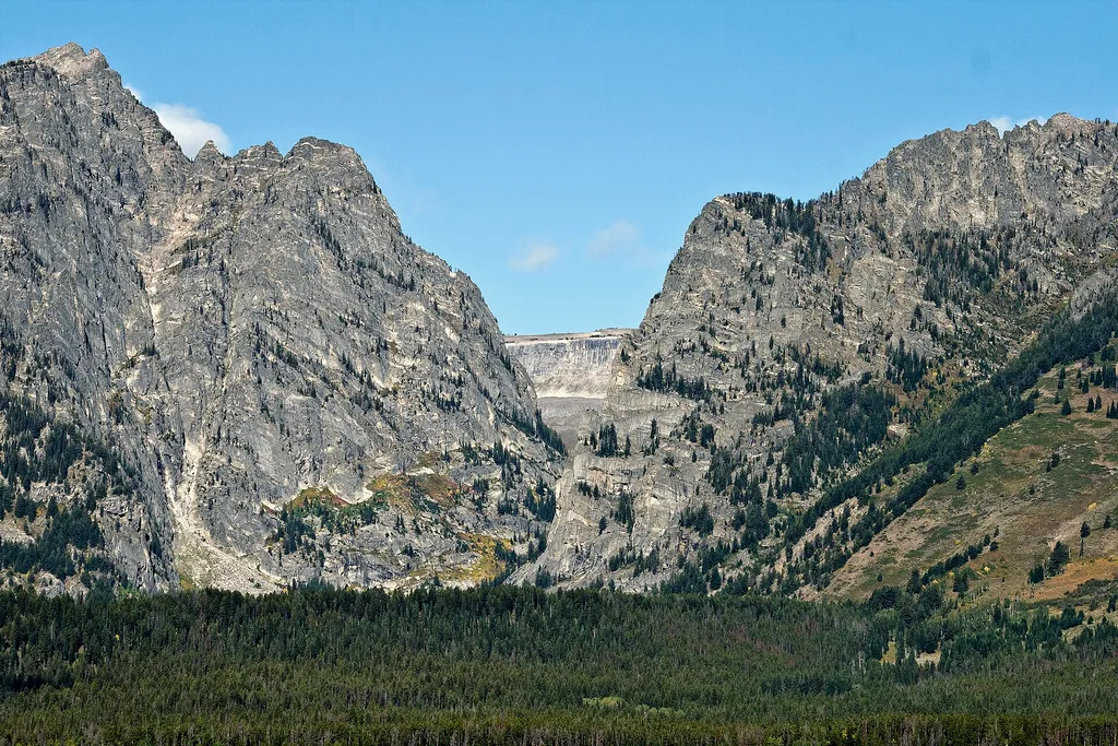
Albright View Turnout
~8 min drive
<p>Albright turnout is one of many scenic viewpoints along the highway through the park. Use turnouts like this one to take photos and enjoy wildlife safely. Do not stop along the road on the main highway to keep you and other visitors safe. Although the Teton Range dominates…
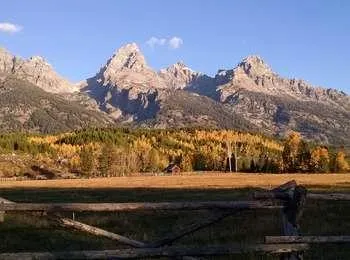
Cottonwood Creek Overlook
~8 min drive
<p>A popular fall photograph captures the Jimmy Manges cabin, the park stock used by the summer trial crew, the aspens turning golden and the Grand Teton towering above. A corral is a classic buck and rail fence used by the early homesteaders. Enjoy the view of the horses and…
Local operatorsoffering guided trips. You book directly with them — Roamze doesn’t take a cut.
The Virginian RV Park
Hiking business nearby (~13 mi away) — hasn't claimed their Roamze page yet
Greys River Cove
Hiking business nearby (~35 mi away) — hasn't claimed their Roamze page yet