Upper Wolf
- 1.9 mi
- round trip
- 56 ft
- climb
- 8,155 ft
- high point
- Out and back
- route
- Jun–Sep
- best months
Is Upper Wolf open right now?
No closures listed
The Forest Service lists no closures for Bighorn National Forest.
As of · Source: USFS · Bighorn National Forest. Agencies don't list every closure — check before you go.
Upper Wolf is an easy out-and-back hike in Wyoming's Bighorn National Forest, within the Tongue Ranger District. The trail is managed by the Forest Service and sits at a natural surface, and it is open year-round. The route spans about 1.9 miles, climbing from a low point of 7,269 feet to a high of 8,155 feet. That makes it a short walk with a modest rise, and the trail is rated easy. Bicycles and horses are both allowed on this route, so it works for riders and pack animals as well as hikers. The climb is gentle, with a total elevation gain of about 56 feet for the entire trip. Summer is the most comfortable time to go. Typical averages from a nearby weather station at Burgess Junction, at a similar elevation, run to highs around 71°F in July with lows near 42°F. Winters there are cold, with January highs around 30°F and lows near 8°F. Sibley Lake Campground is about 6 miles away. The Wall of Love climbing area is about 5 miles off, and the Alden Creek hike is about 2.6 miles away. Paddlers can reach the South Tongue River within about 6.6 miles.
- Hendrick Ridge CrossoverHiking2.2 mi
- Alden CreekHiking2.6 mi
 The Wall of LoveRock climbingPhoto: hakkun, CC BY-SA 3.0 (via Wikimedia Commons)5.2 mi
- Eastern Big HornsRock climbing5.7 mi
 Sibley Lake CampgroundCampingPhoto: David Haile, CC BY-SA 4.0 (via Wikimedia Commons)5.9 mi
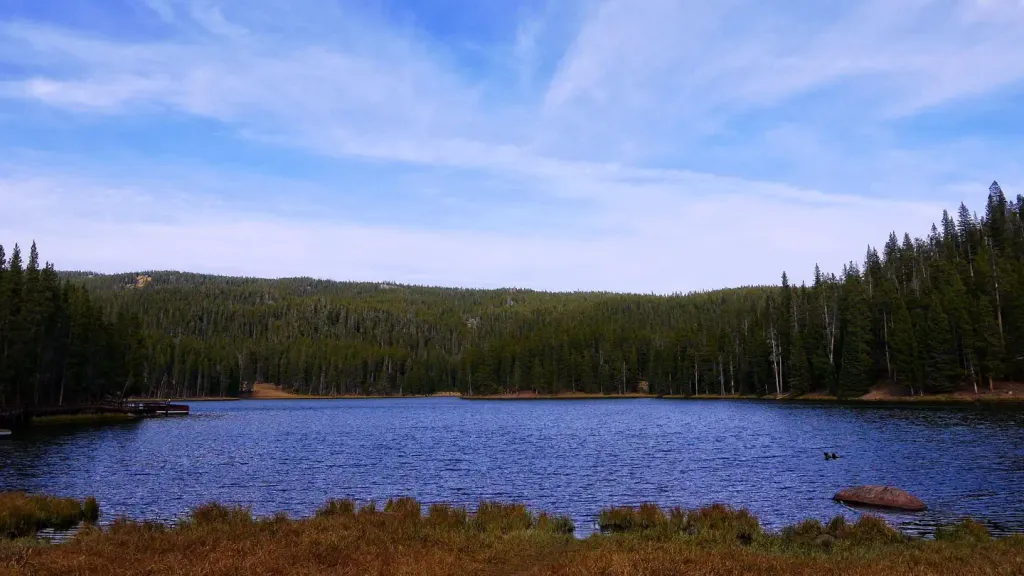 Sibley LakeCampingPhoto: Recreation.gov (RIDB) / public domain6.3 mi
- South Tongue RiverCanoeing6.6 mi
 Tongue RiverCanoeingPhoto: USGS, Public domain (via Wikimedia Commons)7.3 mi
Source: Roamze catalog (indexable pages within 10 miles, PostGIS distance)
 Prune CreekHiking · ~10 min drivePhoto: David Haile, CC BY-SA 4.0 (via Wikimedia Commons)
- Alden CreekHiking · ~4 min drive
- BLACK MOUNTAIN LOOKOUTHiking · ~5 min drive
- Hendrick Ridge CrossoverHiking · ~4 min drive
- Hendrick RidgeHiking · ~5 min drive
- Soldier CreekHiking · ~8 min drive
- Tongue River CaveHiking · ~13 min drive
- Wolf CreekHiking · ~6 min drive
- Big Goose CanyonHiking · ~10 min drive
- Upper Sawmill LakeHiking · ~14 min drive
Best time to visit Upper Wolf
Best months: June–September. Best months have typical highs of 55–85 °F, lows of 30 °F or warmer (32 °F where the station doesn't record snow), at most one snowy day and no more than 12 wet days.
Jan
30° / 8°
Feb
29° / 7°
Mar
35° / 13°
Apr
41° / 18°
May
50° / 28°
Jun
61° / 35°
Jul
71° / 42°
Aug
70° / 41°
Sep
61° / 33°
Oct
46° / 23°
Nov
36° / 15°
Dec
29° / 8°
Typical high / low (°F) and days with rain or snow, 1991–2020. Measured at Burgess Junction, WY, 10.1 mi away at 8,060 ft. This station doesn't record snowfall. Source: NOAA NCEI U.S. Climate Normals 1991–2020.
