Loading…

Tower Backcountry Office
Free — you'll pick up right here.
Watch this trail
Sign up to watch it — saving subscribes you to gate, closure and report changes.
Wyoming
We won't guess. Here is exactly what we do and don't know.
What we do know
Inside Yellowstone National Park
National Park unit boundary is mapped — agency alerts for it feed this page automatically.
Boundary data
What's missing
No access route mapped
We don't yet know which road reaches this trailhead, so we can't tell you if it's gated.
Nobody's filed a report here yet — be the first.
Tower Backcountry Office
AI-suggested draft · review before you go
No elevation data on file for this trail.
Stop by the backcountry office to purchase: fishing permits, interagency passes, overnight backcountry camping permits, and non-fee horseback day riding permits. Our experienced staff can also help you with trail, hiking, and horseback riding information. Operating Dates Typically open daily from early-June through mid-September, 8:00 a.m. – 4:30 p.m. See the website for current season dates. Hours and dates are subject to change. Overnight Backcountry Camping Permits Permits are required year-round for all overnight stays in Yellowstone's backcountry. A backcountry permit allows the permit holder and group members to camp in a designated backcountry location. Permits are not required for day hiking. Backcountry Camping Fees Recreation fee: $10 reservation fee + $5 per person per night. Fees apply to all ages. The recreation fee is charged year-round, whether secured through Recreation.gov or in-person at a backcountry office. Backcountry Camping Reservations Backcountry camping reservations can be made online at Recreation.gov or in-person at one of the park's backcountry offices. Reservations must be converted into a permit, in person at a backcountry office no more than two days before the trip start date. For help during non-peak season, call the Central Backcountry Office at 307-344-2160. Detailed information on advanced reservations is available online. Boats & Float Tubes Boat Permits and Aquatic Invasive Species (AIS) Inspections are required for all boats and float tubes. Boating is not allowed on Yellowstone's rivers (this includes float tubes). Boat permits (motorized, non-motorized, and float tubes) can be acquired at the Lewis Lake Ranger Station, Grant Ranger Station, and Bridge Bay Ranger Station. Float tube permits are also available at the Bechler Ranger Station, Snake River Ranger Station, West Yellowstone Visitor Information Center, Mammoth Backcountry office (Located in the Albright Visitor Center), and Northeast Entrance Station.
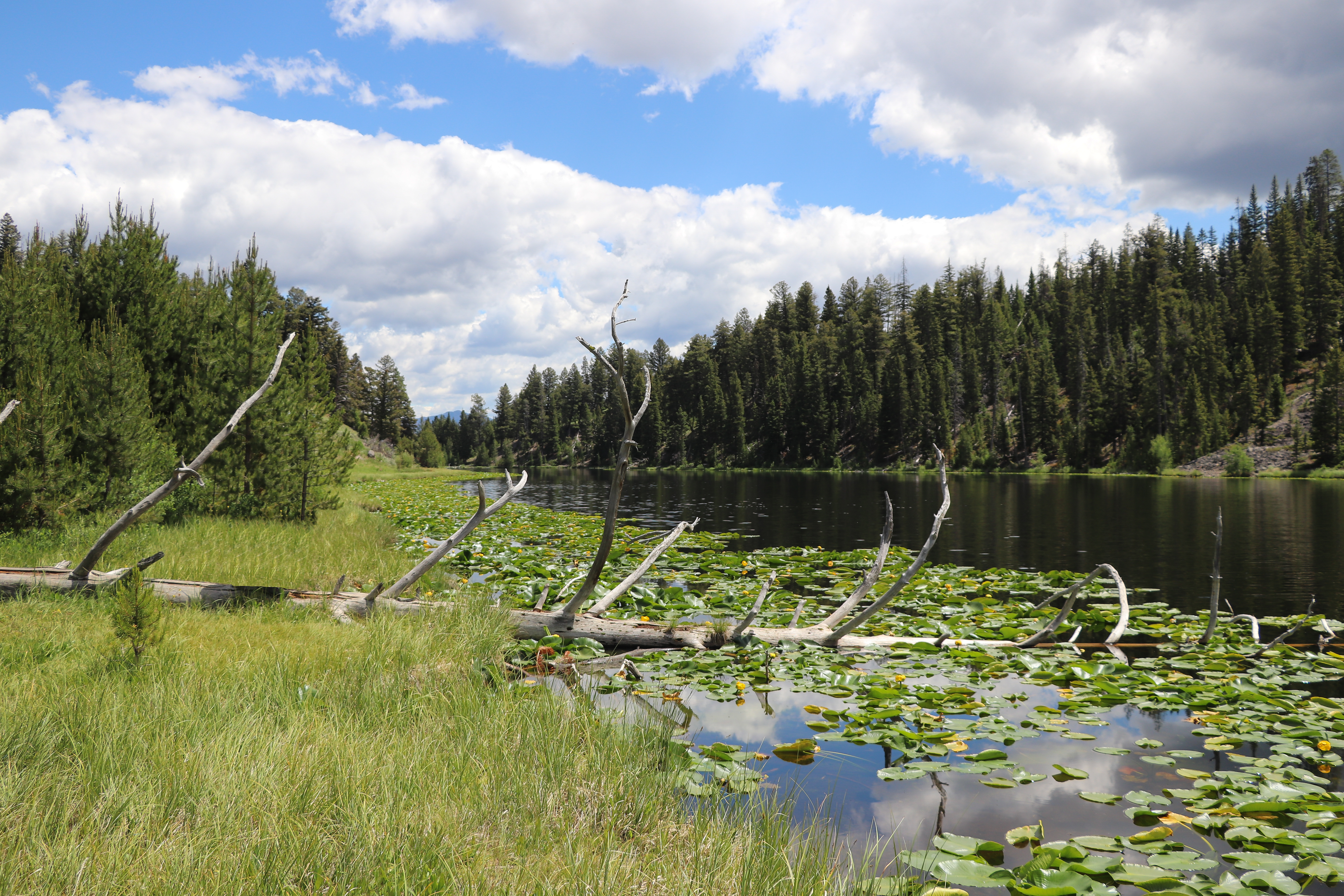
Lost Lake Loop
~1 min drive
Round trip 2.8 miles (4.6 km), moderate. The trail climbs 300 feet up a forested hillside. At the junction, veer right (west). You reach Lost Lake in 0.2 miles (0.3 km). From there, follow the trail through a ravine to the Petrified Tree parking area. From the parking lot, th…

Lost Lake
~1 min drive
6.6 mi · Moderate
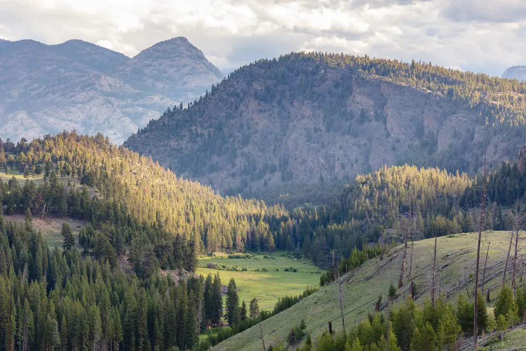
Burned Trees
~2 min drive
<p>Burned trees and those that have died for other reasons still contribute to the ecosystem. For example, dead standing trees provide nesting cavities for many types of animals; fallen trees provide food and shelter for animals and nutrients for the soil. However, park manage…
Poacher
~15 min drive
Moderate 13.23-mile backcountry trail with 1,855 ft elevation gain.
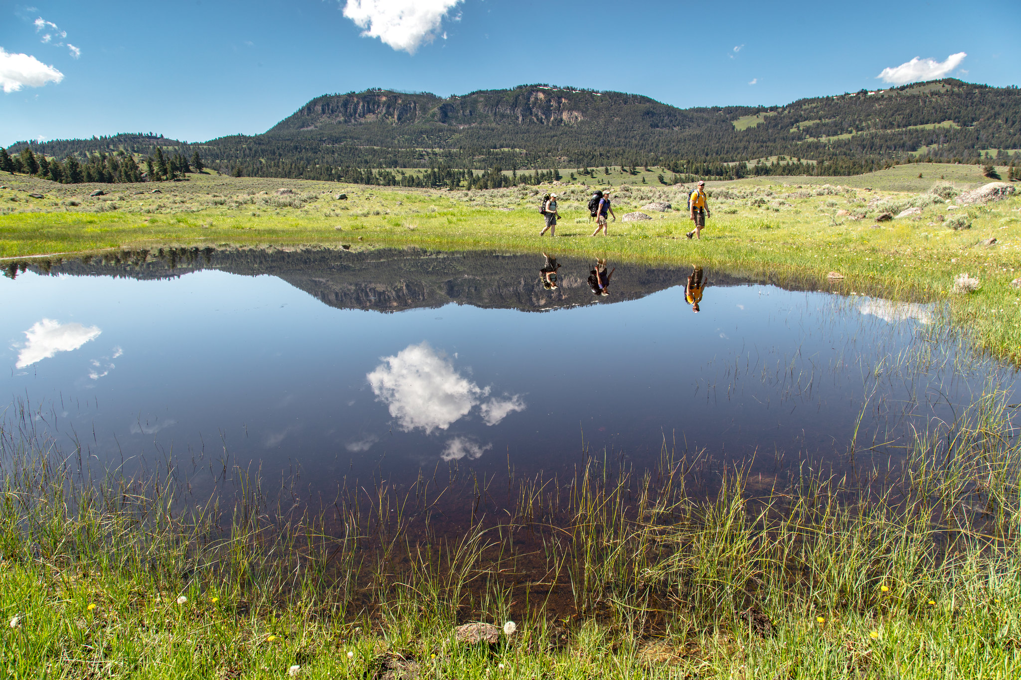
Hellroaring Trailhead (2K8)
~5 min drive
Nestled a 1/4-mile (0.4-km) off the Grand Loop Road, this trailhead provides access to the following trails: Buffalo Plateau Trail Coyote Creek Trail Garnet Hill Loop Trail Hellroaring Creek Trail There is a decent amount of parking at the trailhead. Buffalo Plateau Trai…
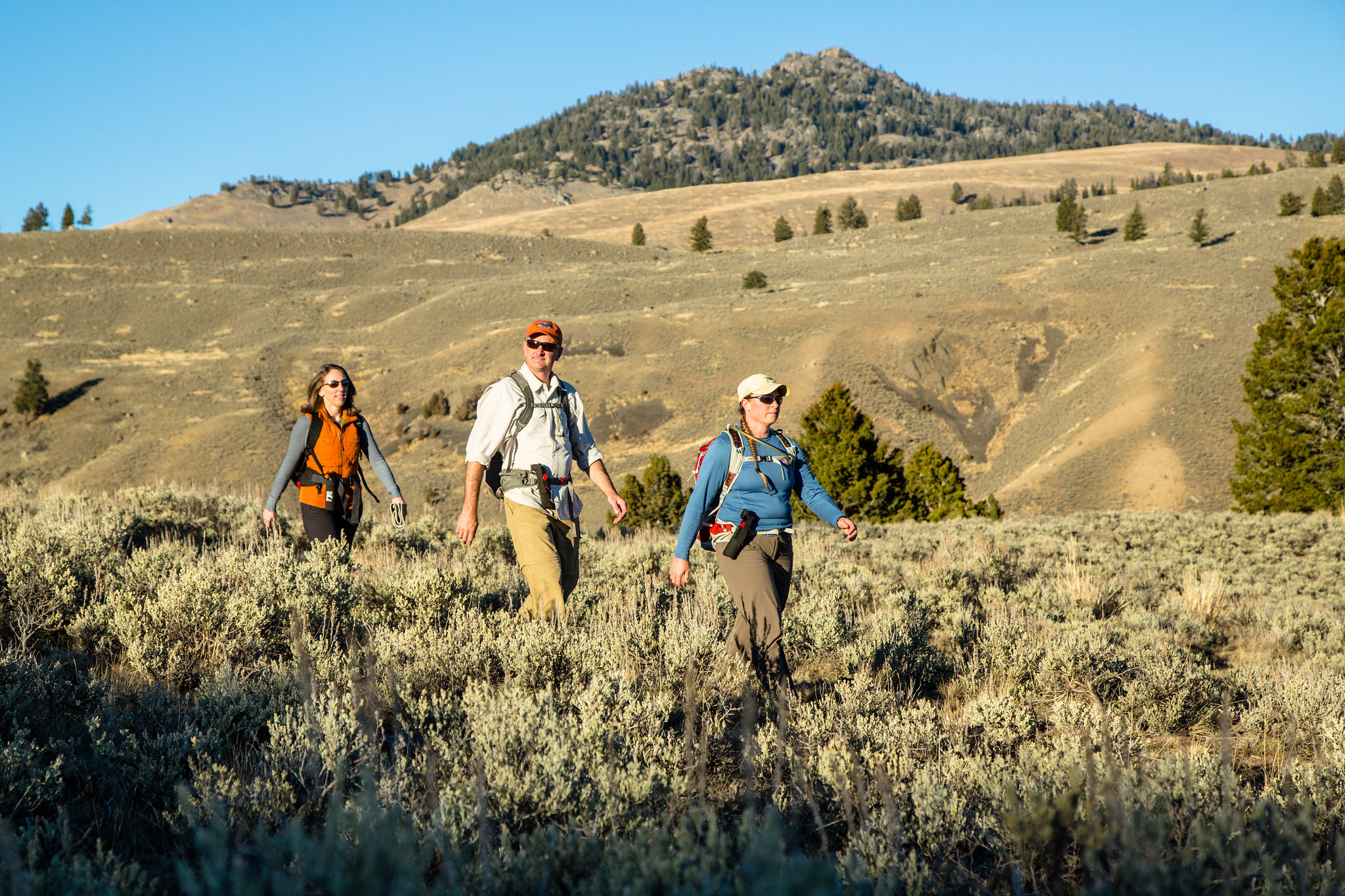
Garnet Hill Loop Trailhead (2K2)
~1 min drive
Situated in Pleasant Valley near Tower Junction, this trailhead provides access to the following trail: Garnet Hill Loop Trail There is very limited parking at this trailhead. However, a large parking lot is located at the Tower Junction Trailhead just to the south. Garnet…
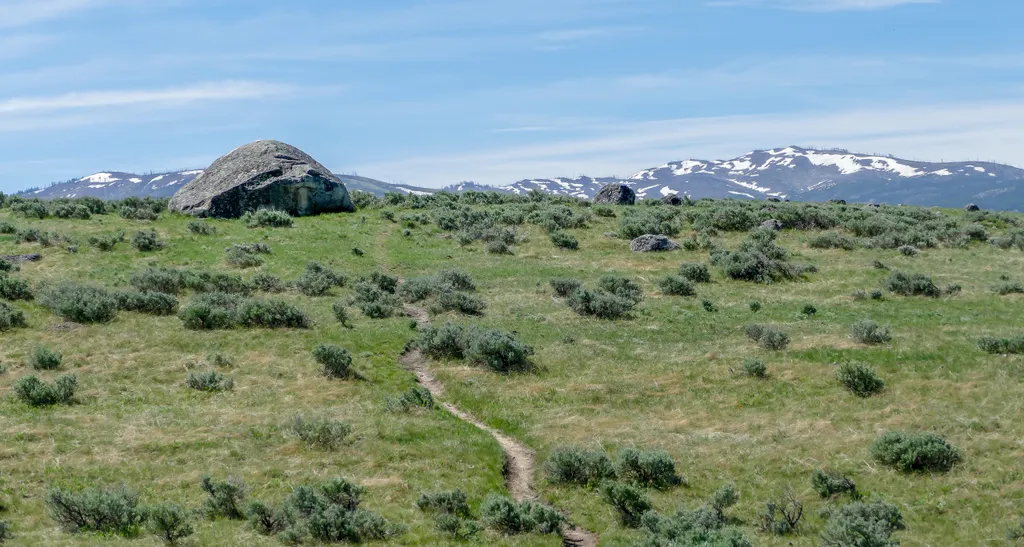
Lamar Valley - Evidence of Glaciers
~3 min drive
<p>Glaciers result when, for a period of years, more snow falls in an area than melts.</p> <p>Once the snow reaches a certain depth, it turns into ice and begins to move under the force of gravity or the pressure of its own weight.</p> <p>During this movement, rocks are picked…
Telephone Basin
~19 min drive
Remote 18-mile alpine basin trek with 2,185 ft elevation gain.

Chittenden Road - Mount Washburn Trail
~11 min drive
5.7 mi · Easy

Dunraven Pass - Mount Washburn Trail
~16 min drive
7.0 mi · Moderate
