Loading…

Free — you'll pick up right here.
Watch this trail
Sign up to watch it — saving subscribes you to gate, closure and report changes.
Wyoming
6.6 mi
Distance
929 ft
Gain
2h 41m
Time
We won't guess. Here is exactly what we do and don't know.
What we do know
Inside Yellowstone National Park
National Park unit boundary is mapped — agency alerts for it feed this page automatically.
Boundary data
What's missing
No access route mapped
We don't yet know which road reaches this trailhead, so we can't tell you if it's gated.
Nobody's filed a report here yet — be the first.
Why you'll love it
Lost Lake
AI-suggested draft · review before you go
Lost Lake is a 3.3-mile out-and-back trail located in Wyoming and managed by the National Park Service. This accessible route takes hikers to a scenic alpine lake, making it a straightforward destination hike suitable for various skill levels. The out-and-back format means you'll retrace your steps on the return journey, covering approximately 6.6 miles round trip. The trail provides a reliable option for visitors seeking a moderately paced day hike within the National Park Service system. Being an out-and-back route, there's no need to arrange shuttle transportation or navigate complex trail junctions on your return. Conditions and seasonal accessibility may vary, so check with the National Park Service for current trail status before planning your visit. This hike offers a good opportunity to experience Wyoming's natural landscape and mountain scenery. The lake destination provides a turnaround point and rewarding vantage for views of the surrounding terrain.
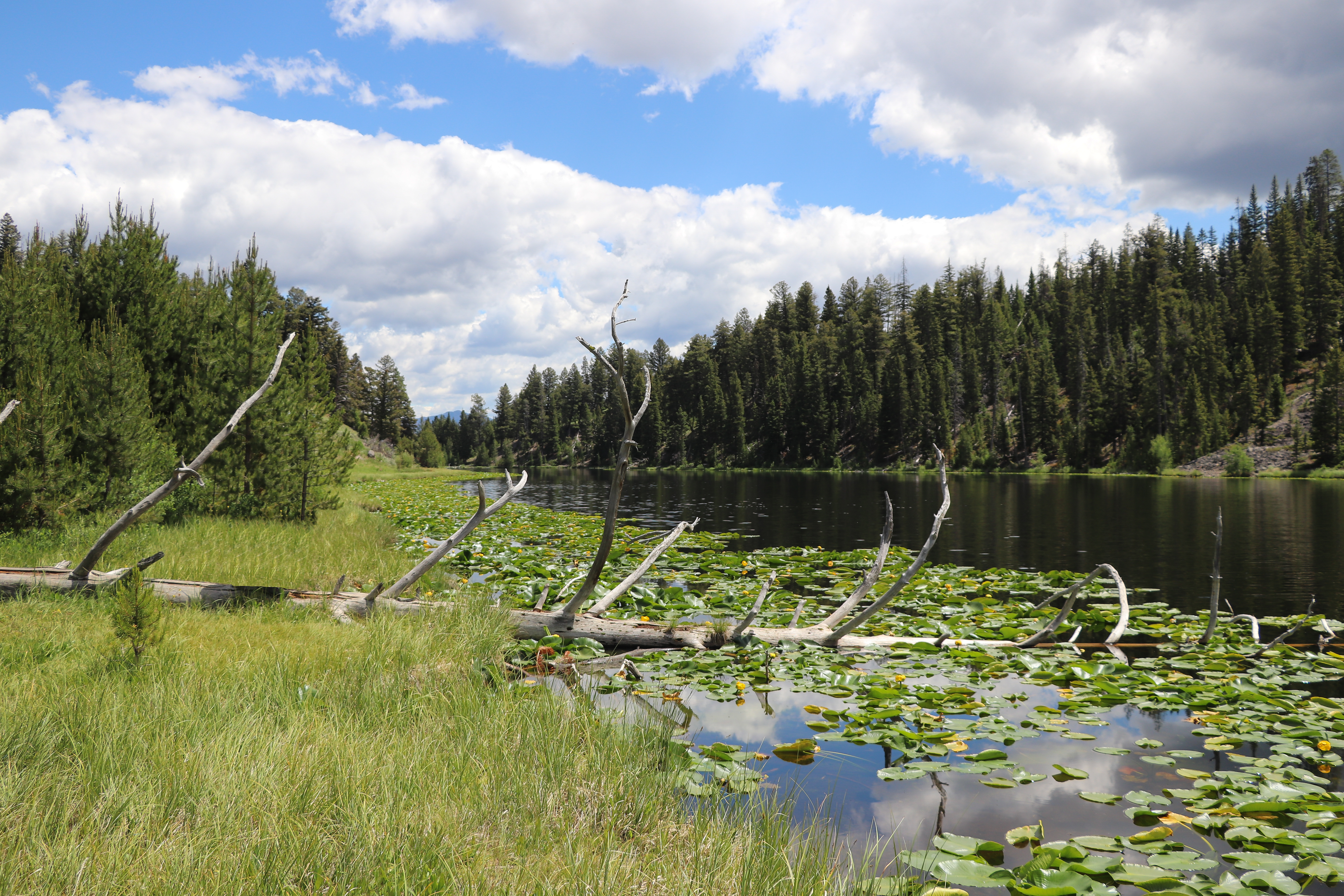
Lost Lake Loop
~1 min drive
Round trip 2.8 miles (4.6 km), moderate. The trail climbs 300 feet up a forested hillside. At the junction, veer right (west). You reach Lost Lake in 0.2 miles (0.3 km). From there, follow the trail through a ravine to the Petrified Tree parking area. From the parking lot, th…
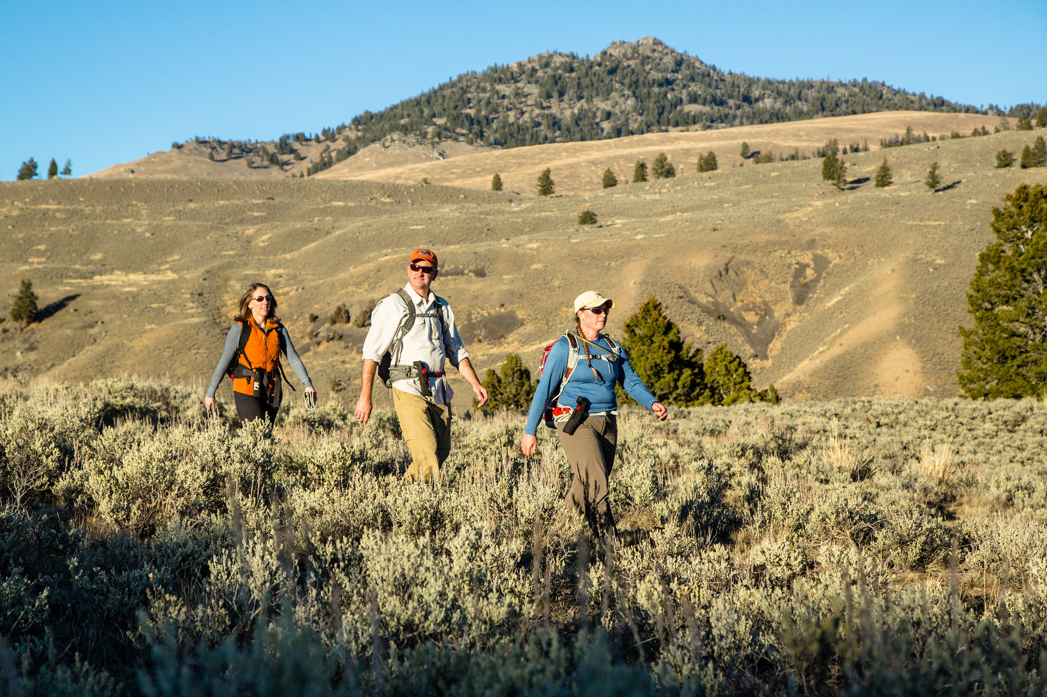
Garnet Hill Loop Trailhead (2K2)
~1 min drive
Situated in Pleasant Valley near Tower Junction, this trailhead provides access to the following trail: Garnet Hill Loop Trail There is very limited parking at this trailhead. However, a large parking lot is located at the Tower Junction Trailhead just to the south. Garnet…
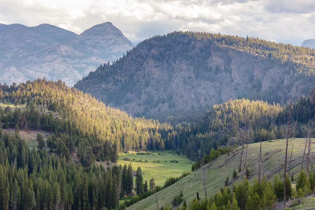
Burned Trees
~2 min drive
<p>Burned trees and those that have died for other reasons still contribute to the ecosystem. For example, dead standing trees provide nesting cavities for many types of animals; fallen trees provide food and shelter for animals and nutrients for the soil. However, park manage…
Poacher
~15 min drive
Moderate 13.23-mile backcountry trail with 1,855 ft elevation gain.
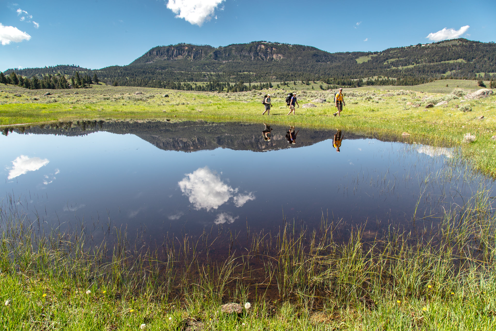
Hellroaring Trailhead (2K8)
~5 min drive
Nestled a 1/4-mile (0.4-km) off the Grand Loop Road, this trailhead provides access to the following trails: Buffalo Plateau Trail Coyote Creek Trail Garnet Hill Loop Trail Hellroaring Creek Trail There is a decent amount of parking at the trailhead. Buffalo Plateau Trai…

Dunraven Pass - Mount Washburn Trail
~15 min drive
7.0 mi · Moderate
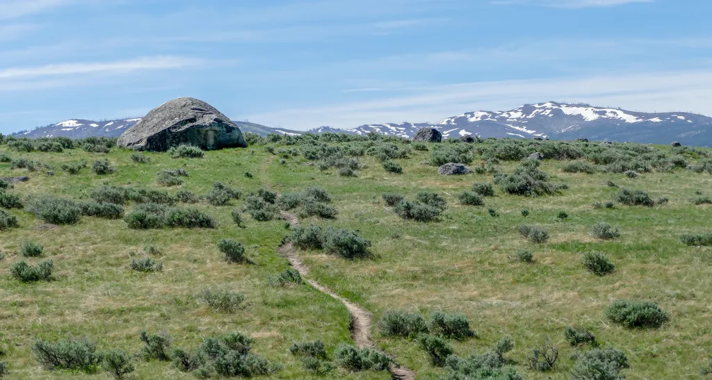
Lamar Valley - Evidence of Glaciers
~3 min drive
<p>Glaciers result when, for a period of years, more snow falls in an area than melts.</p> <p>Once the snow reaches a certain depth, it turns into ice and begins to move under the force of gravity or the pressure of its own weight.</p> <p>During this movement, rocks are picked…
Telephone Basin
~19 min drive
Remote 18-mile alpine basin trek with 2,185 ft elevation gain.

Chittenden Road - Mount Washburn Trail
~10 min drive
5.7 mi · Easy
Tower Fall General Store
~4 min drive
<p>Located near Tower Fall, this store offers a restaurant with burger and sanwich options, as well as groceries, ice cream, souvenirs, and apparel for purchase. </p> <h3>Operating Dates</h3> Typically open daily from late-May through late-September. See the website for <a hre…
