

The Virginian RV Park
Hiking business nearby (~22 mi away) — hasn't claimed their Roamze page yet
Free — you'll pick up right here.
Watch this trail
Sign up to watch it — saving subscribes you to gate, closure and report changes.
Wyoming
71.3 mi
Distance
4,558 ft
Gain
26h 2m
Time
We won't guess. Here is exactly what we do and don't know.
What we do know
Inside Grand Teton National Park
National Park unit boundary is mapped — agency alerts for it feed this page automatically.
Boundary data
What's missing
No access route mapped
We don't yet know which road reaches this trailhead, so we can't tell you if it's gated.
Nobody's filed a report here yet — be the first.
Why you'll love it
Teton Crest Trail
AI-suggested draft · review before you go
No permit or access details on file for this trail — check with the local land manager before you go.
The Teton Crest Trail is a 35.6-mile out-and-back route located in Wyoming. This extended backcountry trek traverses the high country of the Teton Range, offering hikers access to remote alpine terrain and mountain vistas. The trail requires significant endurance due to its length and typically demands multiple days to complete. As an out-and-back route, hikers will retrace their path on the return journey, allowing for flexibility in turnaround points if desired. The trail's remote nature means hikers should be well-prepared with proper gear, navigation skills, and knowledge of backcountry conditions. Water sources and weather patterns vary significantly along the route, so thorough planning is essential. This is an advanced-level hike suited for experienced backcountry hikers with strong fitness levels. The journey through high alpine passes and ridgelines provides access to some of the most dramatic scenery in the Teton Range. Permits and seasonal closures may apply, so check current regulations before planning your trip.

String Lake Trail
~0 min drive
3.1 mi · Easy
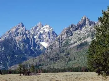
Cathedral Group Turnout
~1 min drive
<p>The Cathedral Group refers to three peaks: Teewinot Mountain, the Grand Teton and Mount Owen. These spires tower above Cascade Canyon casting long shadows during a summer sunset. Looking west, the Teton fault breaks the lower slope on Rockchuck Peak recording the last sever…
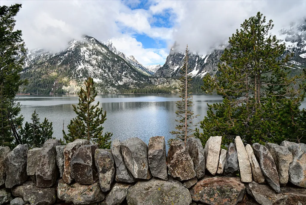
Cascade Canyon Turnout
~2 min drive
<p>Most visitors find it challenging to reach the alpine community in the park, but the view from Cascade Canyon turnout provides a glimpse. The canyon climbs through the forest community where many conifers thrive-lodgepole pine, Engelmann spruce, Douglas fir and subalpine fi…
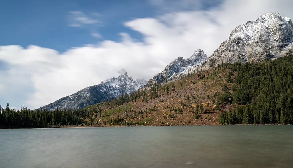
String Lake Launch
~0 min drive
<p><b>Location:</b> The String Lake Canoe launch is the middle of three parking lots in the String Lake area. Access String Lake from the Jenny Lake Scenic Drive. The farthest parking lot provides access to the String Lake picnic area and the Leigh Lake Trailhead.<br /> <br />…
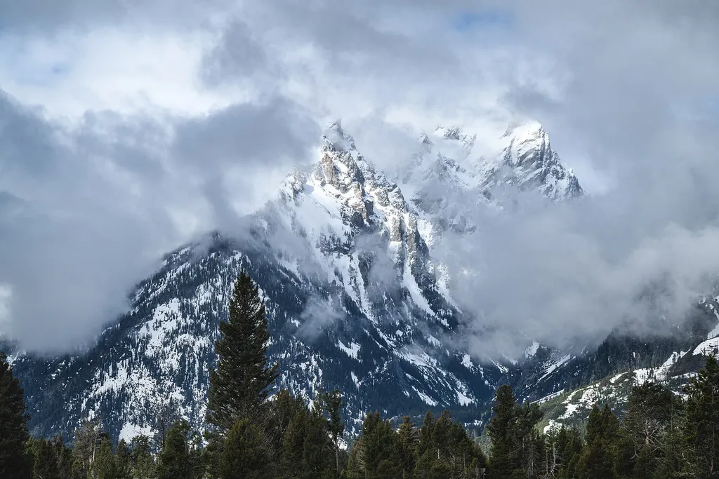
Mountain View Turnout
~3 min drive
<p>The Teton Range appears unchanging, but the opposite is true. The rocks found in the mountains formed hundreds of millions to billions of years ago. Movement on the Teton fault generated earthquakes that began to lift the mountains less than 10 million years ago. Ice age gl…

Taggart Lake Trail
~10 min drive
7.3 mi · Moderate
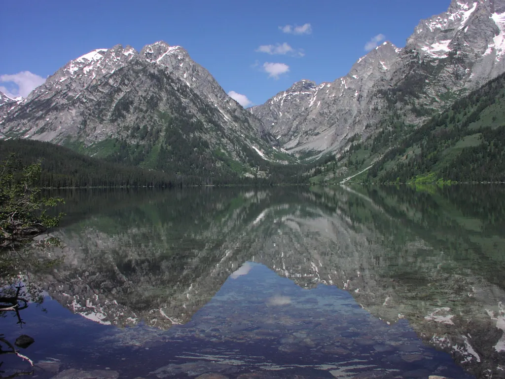
Leigh Lake Trailhead
~1 min drive
<p>Leigh Lake Trailhead provides hikers a wide variety of options from easy level trails to access to mountain passes. Some may opt for the relatively level trail that begins along the east shore of String Lake and extends north to Leigh, Bearpaw and Trapper lakes. Others may…
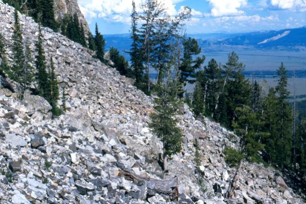
Talus Slope
~3 min drive
A talus slope is a geologic term for large, sometimes even house-sized boulders that have accumulated on a hillside from higher up cliffs. This is different than a scree field, which tend to be made up of much smaller rocks. <br /> <br /> Talus slopes are more than just a geol…
Jenny Lake Overlook
~2 min drive
<p>Jenny Lake is the most popular destination in the park. The view across the lake toward Cascade Canyon is stunning. Pleistocene glaciers carved the U-shaped canyon and the basin filled by the lake today. Many people have visited in the past-American Indians, fur trappers, s…
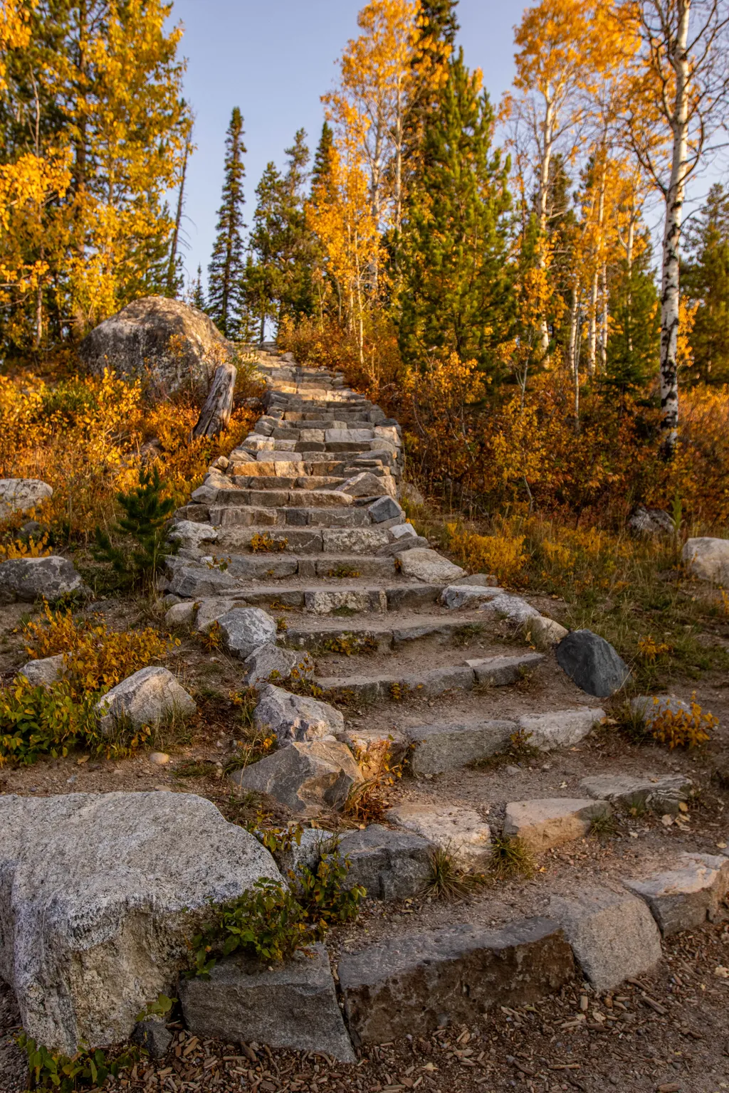
Aspen Knoll
~4 min drive
Aspen Knoll is located north along the path from Teewinot Overlook, at the top of a flight of 32 stairs from Rock Beach. <br /> <br /> Rising approximately 50 feet above the shoreline in a stand of Aspen trees, the knoll offers minimally obstructed views of Jenny Lake and the…
Local operatorsoffering guided trips. You book directly with them — Roamze doesn’t take a cut.
The Virginian RV Park
Hiking business nearby (~22 mi away) — hasn't claimed their Roamze page yet
Greys River Cove
Hiking business nearby (~45 mi away) — hasn't claimed their Roamze page yet