Loading…

Ranger's Delight Trail
Free — you'll pick up right here.
Watch this trail
Sign up to watch it — saving subscribes you to gate, closure and report changes.
Montana
We won't guess. Here is exactly what we do and don't know.
What we do know
Inside Bighorn Canyon National Recreation Area
National Park unit boundary is mapped — agency alerts for it feed this page automatically.
Boundary data
What's missing
No access route mapped
We don't yet know which road reaches this trailhead, so we can't tell you if it's gated.
Nobody's filed a report here yet — be the first.
Ranger's Delight Trail
AI-suggested draft · review before you go
No elevation data on file for this trail.
Ranger's Delight: Easy to Moderate, 0.66 Miles Round Trip Park in the designated area on the west side of the park road one-half mile north of the Montana state line. The trail begins on the east side of the road on the lower north edge of the draw. While following the faint road cut, it is easy to feel like the only person that has ever hiked this trail. Continue to follow the trail through the saddle and toward the canyon. At the cut-off fence post and trail marker, you can turn left and hike toward the rim. This is the end of the trail. Walking to the right will bring you into the bend of the river and give unique views of the canyon. Walking to the left, you have a good view of the ledge below with a sheep trail that treacherously traces the canyon rim. For more solitude and exploration go back to the cut-off fence post and continue to follow the road cut and trail markers to the State Line trail. The connecting trail is 0.37 miles each way.
Horseshoe Bend Marina
~6 min drive
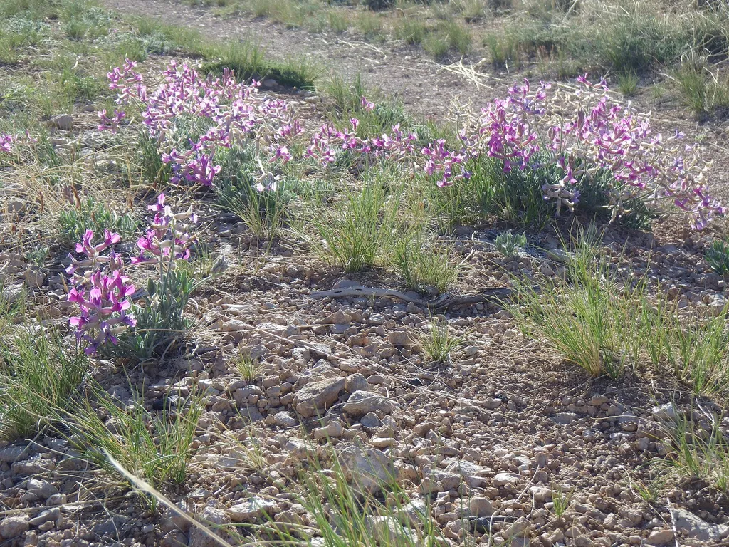
<p>The Horseshoe Bend Marina is located 14 miles outside of Lovell, Wyoming, just off Wyoming Highway 37. It is open Memorial Day weekend through early September.</p> <p>The Marina offers:</p> <ul> <li>Safety Equipment</li> <li>Fishing And Boating Supplies</li> <li>Paddle Boat…

Tillets Hole
~34 min drive
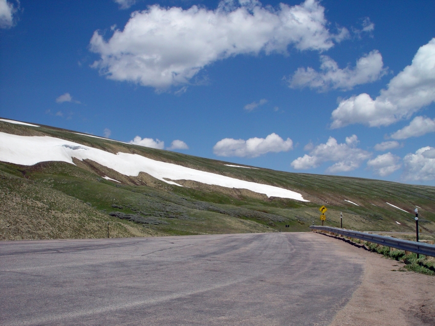
3.6 mi · Moderate
East Beaver
~52 min drive
6.2 mi · Hard

Dry Fork Ridge
~57 min drive
2.9 mi · Easy
Lower Layout Creek Trail
~8 min drive
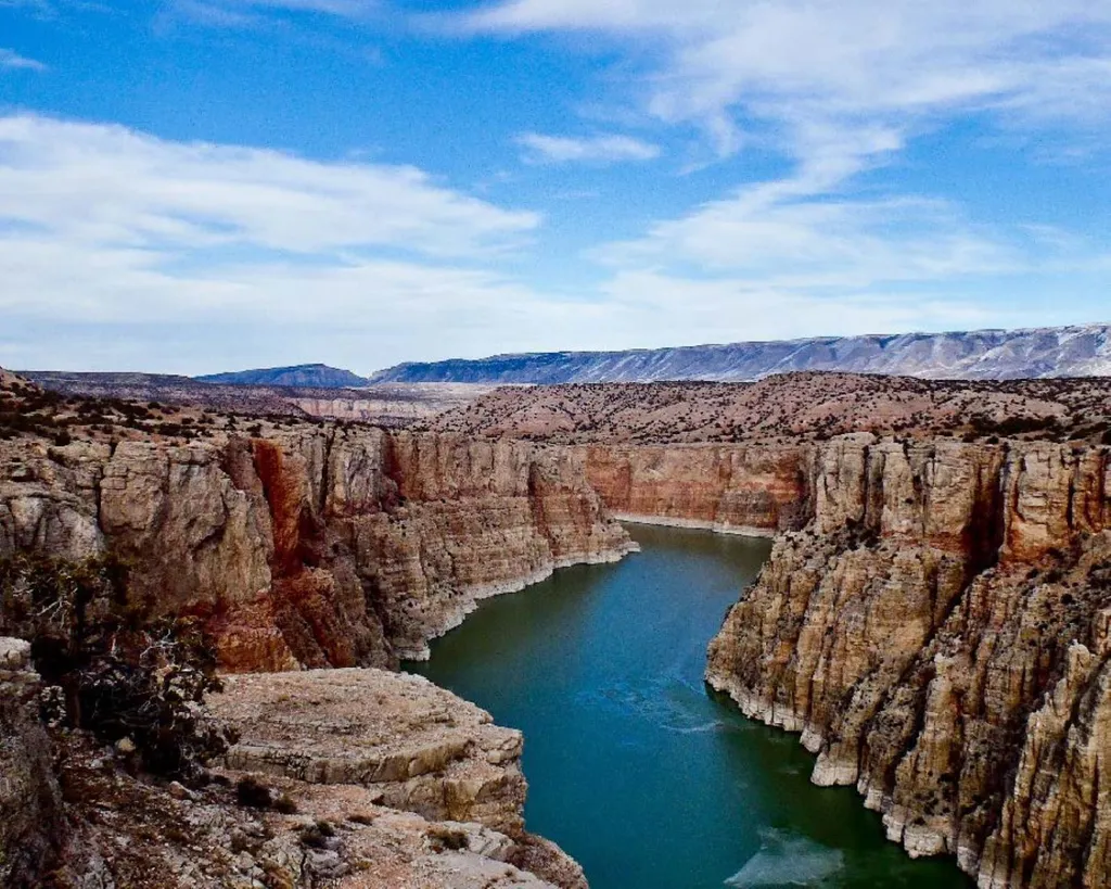
Lower Layout Creek Trail: Easy to Moderate, 3.4 Miles Round Trip The Lower Layout Creek trailhead is located at the cattle guard that marks the northern end of the Pryor Mountain Wild Horse Range. At the cattle guard, park on either side of the road making sure you are not bl…
null
~12 min drive
Strenuous 10-mile alpine climb with 5,000 ft elevation gain.
Big Pryor
~33 min drive
Moderate 8.21-mile ridgeline hike in the Big Pryor Mountains with scenic views.
Sage Creek
~26 min drive
Easy sagebrush walk near Sage Creek with minimal elevation gain.
Barry’s Island Trail
~11 min drive
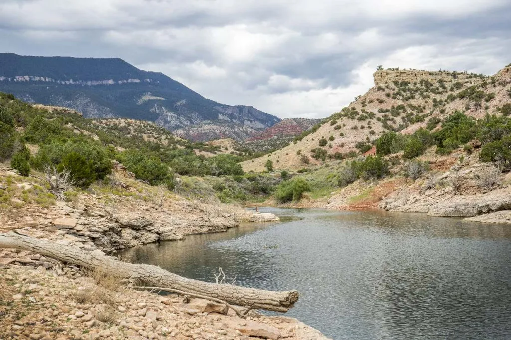
Barry’s Island Trail: Moderate, 4 Miles Round Trip The Barry’s Island trail starts as a two-track road leading north from the Barry’s Landing parking lot. The trail goes around Chain Canyon, a secret escape route for cattle rustlers in the late 1800s and early 1900s. At Barry…
South Pasture
~12 min drive
Strenuous 9.94-mile climb with nearly 5,000 ft of elevation gain.

