Wyoming · Hiking
Stewart Creek
- 12.7 mi
- round trip
- 2,486 ft
- climb
- 8,824 ft
- high point
- Out and back
- route
Loading this week's forecast
Stewart Creek is a hard hike on Bureau of Land Management land in Wyoming's Kemmerer Field Office, about 13 miles long with a one-way elevation gain of 2,486 feet. The trail rises from a low point of about 6,088 feet to a high of about 8,824 feet, and it is an out-and-back route. The trail is open from May 1 to October 31. Bikes and horses are both allowed, and the surface is natural. Nearby, the 3184 Squaw Creek Trail is about 3.7 miles away, and the Burns/Trout Creek Trail is about 4.4 miles away. Blowout Campground and Little Cottonwood Group are both within about 7 miles.
Local outfitters
- Greys River Cove5 mi away
- The Virginian RV Park28 mi away
Not on Roamze yet. Their page has how to reach them.
- 3184 Squaw Creek TrailHiking3.7 mi
- BURNS/TROUT CREEKHiking4.1 mi
- OLD MURPHY CONNECTOR TRAILHiking4.3 mi
- Burns/Trout Creek TrailHiking4.4 mi
- Blowout CampgroundCamping6.5 mi
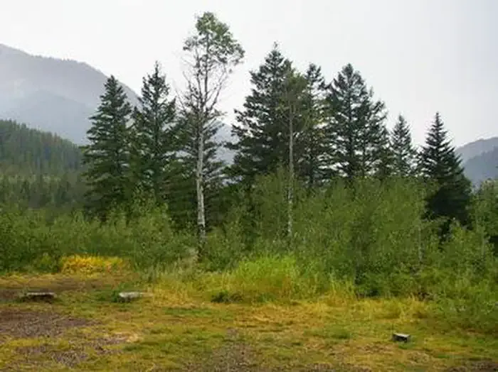 Little Cottonwood GroupCampingPhoto: Recreation.gov (RIDB) / public domain7 mi
- Alpine North LoopCamping7.2 mi
 The Goat CaveRock climbingPhoto: Bridger-Teton NF, Public Domain Mark (via Flickr)7.7 mi
Source: Roamze catalog (indexable pages within 10 miles, PostGIS distance)
- BURNS/TROUT CREEKHiking · ~7 min drive
- OLD MURPHY CONNECTOR TRAILHiking · ~7 min drive
- Sheep GulchHiking · ~11 min drive
- Raymond Creek - HaderlieHiking · ~11 min drive
- Burns/Trout Creek TrailHiking · ~7 min drive
- Valley ViewHiking · ~13 min drive
- Middle RidgeHiking · ~12 min drive
- SQ___ CREEKHiking · ~12 min drive
- 3052 Maple TrailHiking · ~14 min drive
- LITTLE GREYS RIVER SNOMO TRAILHiking · ~12 min drive
