Spring Creek (Greys River)
- 8.1 mi
- round trip
- 1,162 ft
- climb
- 9,102 ft
- high point
- Out and back
- route
Is Spring Creek (Greys River) open right now?
No closures listed
The Forest Service lists no closures for Bridger-Teton National Forest.
As of · Source: USFS · Bridger-Teton National Forest. Agencies don't list every closure — check before you go.
Spring Creek (Greys River) is a hard hike in Wyoming's Bridger-Teton National Forest, on the Greys River Ranger District. The route is an out-and-back of about 8 miles, with an elevation gain of about 1,160 feet from a low of roughly 7,940 feet to a high of about 9,100 feet. The trail is on natural surface, and the Forest Service allows both bikes and horses. It is open year-round, so plan for conditions that match the season you visit. The Greys River itself lies about a mile away for paddlers, and the Spring Creek (Greys River) Trail and Box Canyon are each about 1.7 miles off. Cazier Cabin is about 2.7 miles away for an overnight stay.
Local outfitters
- Greys River Cove39 mi away
- Yellowstone Trail RV Park44 mi away
Not on Roamze yet. Their page has how to reach them.
- Greys RiverCanoeing1.1 mi
- Spring Creek (Greys River) TrailHiking1.7 mi
- Box CanyonHiking1.7 mi
- CORRAL CREEKHiking2.2 mi
- Corral Creek TrailHiking2.3 mi
- Cazier CabinCamping2.7 mi
- Cottonwood Group Picnic SiteCamping6.1 mi
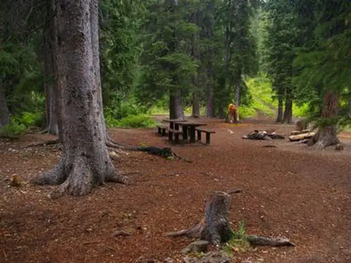 Cottonwood Group CampsiteCampingPhoto: Recreation.gov (RIDB) / public domain6.1 mi
Source: Roamze catalog (indexable pages within 10 miles, PostGIS distance)
- Spring Creek (Greys River) TrailHiking · ~3 min drive
- Box CanyonHiking · ~3 min drive
- CORRAL CREEKHiking · ~4 min drive
- Way Trail #079Hiking · ~5 min drive
- Mink CreekHiking · ~6 min drive
- Sheep PassHiking · ~7 min drive
- Corral Creek TrailHiking · ~4 min drive
- Wyoming Peak TrailHiking · ~8 min drive
- Old Wyoming Peak TrailHiking · ~8 min drive
- Corral Creek Trail #179Hiking · ~10 min drive

