Box Canyon
- 6.6 mi
- round trip
- 1,951 ft
- climb
- 9,625 ft
- high point
- Out and back
- route
Is Box Canyon open right now?
No closures listed
The Forest Service lists no closures for Bridger-Teton National Forest.
As of · Source: USFS · Bridger-Teton National Forest. Agencies don't list every closure — check before you go.
Box Canyon is a hard hike in the Greys River Ranger District of Bridger-Teton National Forest in Wyoming, about 6.6 miles long with a one-way elevation gain of 1,951 feet. The trail is an out-and-back, starting at a low point of about 7,672 feet and climbing to a high point of about 9,625 feet. The route is on natural surface, and the Forest Service allows both horses and bikes. The trail is open from May 1 through October 31. Spring Creek (Greys River) Trail lies about a mile away, and Cazier Cabin is about 1.1 miles off. The Greys River, a canoeing route, is about 1.3 miles away, and Corral Creek is about 1.5 miles away.
Local outfitters
- Greys River Cove39 mi away
- Yellowstone Trail RV Park42 mi away
Not on Roamze yet. Their page has how to reach them.
- Spring Creek (Greys River) TrailHiking0.9 mi
- Cazier CabinCamping1.1 mi
- Greys RiverCanoeing1.3 mi
- CORRAL CREEKHiking1.5 mi
- Spring Creek (Greys River)Hiking1.7 mi
- Corral Creek TrailHiking2 mi
- Middle Piney Lake CampgroundCamping6.8 mi
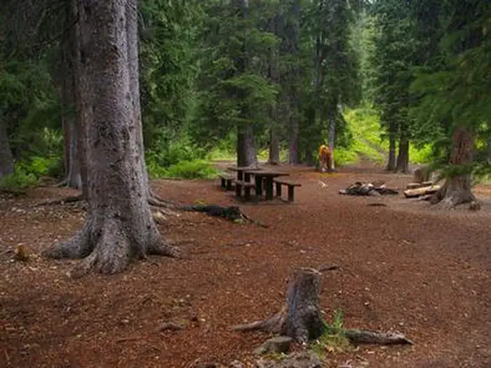 Cottonwood Group CampsiteCampingPhoto: Recreation.gov (RIDB) / public domain7.5 mi
Source: Roamze catalog (indexable pages within 10 miles, PostGIS distance)
- Spring Creek (Greys River) TrailHiking · ~2 min drive
- Corral Creek TrailHiking · ~3 min drive
- Way Trail #079Hiking · ~6 min drive
- Crow CreekHiking · ~8 min drive
- Roaring Fork Lakes TrailHiking · ~7 min drive
- Lunch Creek TrailHiking · ~5 min drive
- North Piney Creek TrailHiking · ~8 min drive
- Sheep PassHiking · ~10 min drive
- Mink CreekHiking · ~8 min drive
- LUNCH CREEKHiking · ~7 min drive

