

The Virginian RV Park
Hiking business nearby (~24 mi away) — hasn't claimed their Roamze page yet
Potholes Turnout
Free — you'll pick up right here.
Watch this trail
Sign up to watch it — saving subscribes you to gate, closure and report changes.
Wyoming
We won't guess. Here is exactly what we do and don't know.
What we do know
Inside Grand Teton National Park
National Park unit boundary is mapped — agency alerts for it feed this page automatically.
Boundary data
What's missing
No access route mapped
We don't yet know which road reaches this trailhead, so we can't tell you if it's gated.
Nobody's filed a report here yet — be the first.
Potholes Turnout
AI-suggested draft · review before you go
No elevation data on file for this trail.
This odd stand of conifer trees took root in a depression within the sagebrush flats. Locals called these depressions "potholes" while other regions of the country call these features "kettles." As ice-age glaciers retreated, blocks of ice dropped from the glacier's face onto the valley floor. Sediment carried by meltwater buried the ice. Later, the ice melted leaving behind a depression. Water may pond in pothole, and spring runoff and wind may carry sediment into the hole. With time, a pothole develops a micro-ecosystem supporting trees and accompanying wildlife-providing a shady respite from the exposure of the sagebrush flats. Name Origin Potholes, also known as kettles, are depressions in the glacial outwash plain. A pothole forms when an ice chunk breaks off a retreating glacier and lands on the plain. Run-off sediments deposit around the ice and may bury the ice. After the ice melts, a depression is left behind. This depression forms a micro-environment trapping moisture and dust allowing trees to take root.
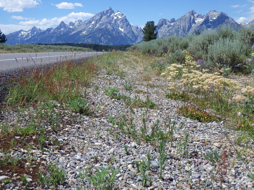
Mount Moran Turnout
~1 min drive
<p>Mount Moran, named for the famous landscape painter Thomas Moran, is the dominant peak of the northern Teton Range. The mountain also reflects all the geologic forces that formed the Teton Range. Ancient igneous and metamorphic rocks comprise the mountain core, sedimentary…
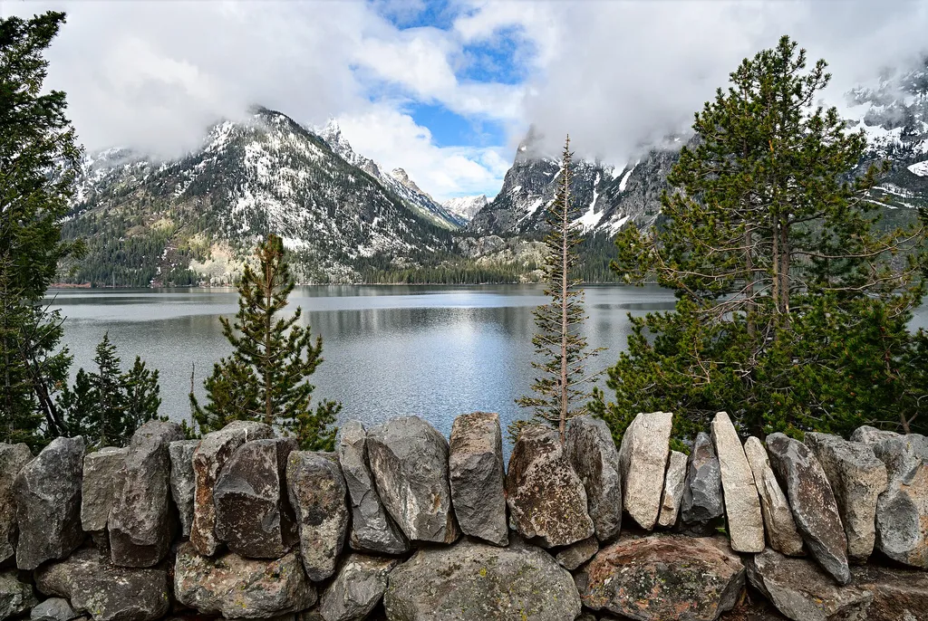
Cascade Canyon Turnout
~8 min drive
<p>Most visitors find it challenging to reach the alpine community in the park, but the view from Cascade Canyon turnout provides a glimpse. The canyon climbs through the forest community where many conifers thrive-lodgepole pine, Engelmann spruce, Douglas fir and subalpine fi…
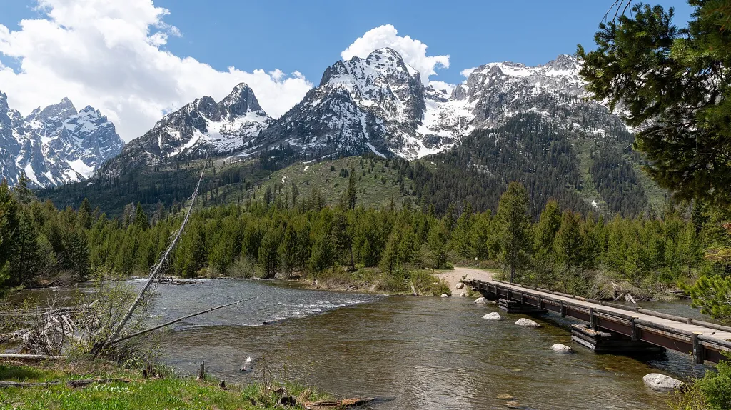
String Lake Trailhead
~9 min drive
<p><b>Location:</b> Access the String Lake Trailhead from the Jenny Lake scenic loop drive. Turn west at North Jenny Lake Junction, bend north where the road splits and choose from a series of parking lots. The first parking lot is the String Lake Trailhead. The second lot ser…

Teton Crest Trail
~9 min drive
71 mi · Hard

Signal Mountain Launch
~4 min drive
<p> <b>Location: </b> Three miles south of Jackson Lake Junction is the Signal Mountain Lodge area. This visitor service area includes a campground, lodge, restaurants, convenience store, gas station, gift shops, marina and boat launch. Partly sheltered to the west by Donoho P…
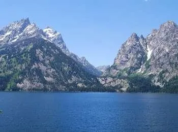
Jenny Lake Overlook
~9 min drive
<p>Jenny Lake is the most popular destination in the park. The view across the lake toward Cascade Canyon is stunning. Pleistocene glaciers carved the U-shaped canyon and the basin filled by the lake today. Many people have visited in the past-American Indians, fur trappers, s…

Signal Mountain General Store
~5 min drive
<p>The General Store offers supplies and snacks for camping and outdoor activities. Pick up fishing supplies and bait, camping equipment and toiletries in addition to natural food choices, snacks, drinks and ice. <br /><br /> <a href="http://www.signalmountainlodge.com/signal-…
String Lake Trail
~9 min drive
3.1 mi · Easy

Chapel of the Sacred Heart
~5 min drive
<p>The Chapel of the Sacred Heart is on Catholic Bay of Jackson Lake. The beautiful chapel was built in 1937 and is recognized by the Teton County Historic Preservation Board as being more than 50 years old. The Catholic Church owns the chapel and usually offers Sunday service…
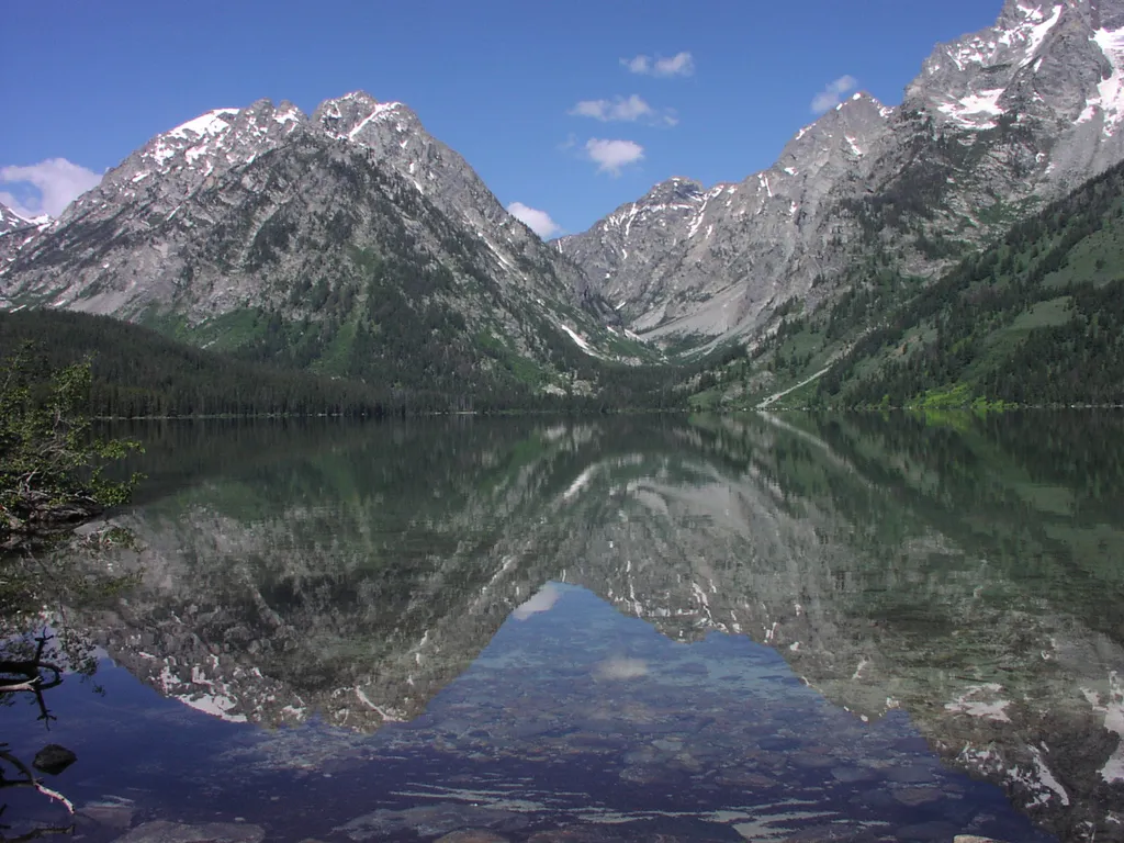
Leigh Lake Trailhead
~9 min drive
<p>Leigh Lake Trailhead provides hikers a wide variety of options from easy level trails to access to mountain passes. Some may opt for the relatively level trail that begins along the east shore of String Lake and extends north to Leigh, Bearpaw and Trapper lakes. Others may…
Local operatorsoffering guided trips. You book directly with them — Roamze doesn’t take a cut.
The Virginian RV Park
Hiking business nearby (~24 mi away) — hasn't claimed their Roamze page yet
Greys River Cove
Hiking business nearby (~48 mi away) — hasn't claimed their Roamze page yet