Osprey Falls Trail
- 7.8 mi
- round trip
- 824 ft
- climb
- 7,129 ft
- high point
- Out and back
- route
- Jul–Sep
- best months
Is Osprey Falls Trail open right now?
Closure in the area
There's a closure order in Yellowstone National Park. It doesn't name Osprey Falls Trail, so check the source for the area it covers (2 listed).
Most Park Roads Closed to All Vehicles
Park closure covering Yellowstone National Park · NPS · Yellowstone National Park
Biscuit Basin Closed Due to Hydrothermal Explosion
Park closure covering Yellowstone National Park · NPS · Yellowstone National Park
As of · Source: NPS · Yellowstone National Park. Agencies don't list every closure — check before you go.
Osprey Falls Trail is a 7.8-mile out-and-back hike in Yellowstone National Park in Wyoming, managed by the National Park Service. The trail rises from about 6,250 feet to about 7,129 feet, with an elevation gain of 824 feet, and is rated moderate. Summer is the most comfortable time to go. Typical averages from a nearby weather station at Mammoth show July highs around 81°F and lows near 48°F, with no snow days. That station sits about 900 feet lower than the trail's high point, so temperatures on the summit run cooler. A fee is charged for the hike, and bikes are not allowed. Snow Pass Trailhead (1K2) is about half a mile away, and Bunsen Peak Overlook and Angel Terrace are each about 0.7 miles off. The Hoodoos climbing area is about 1.1 miles away.
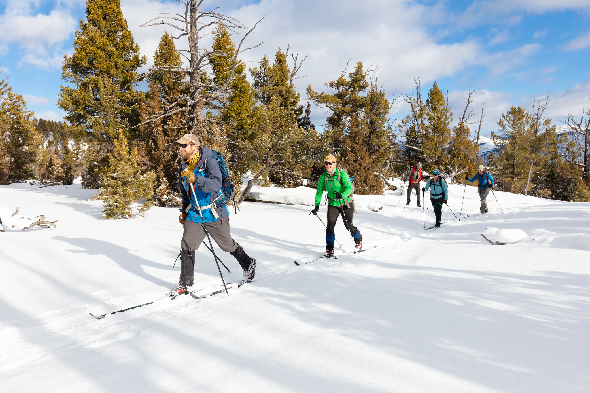 Snow Pass Trailhead (1K2)HikingPhoto: NPS / Jacob W. Frank0.5 mi
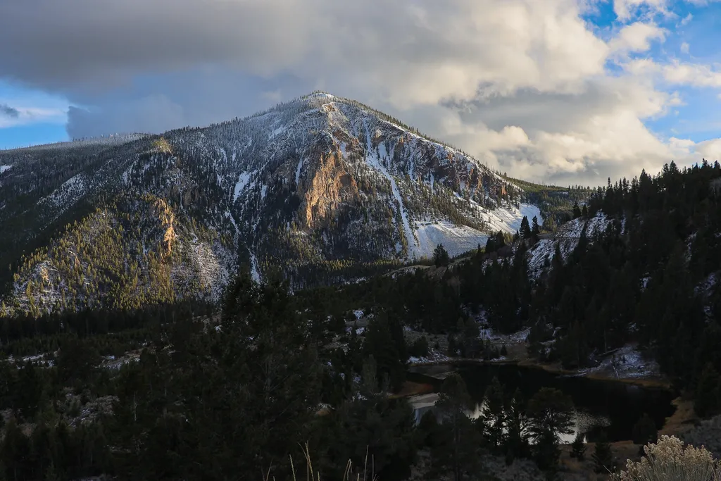 Bunsen Peak OverlookHikingPhoto: NPS / public domain0.7 mi
- YCC TrailHiking0.7 mi
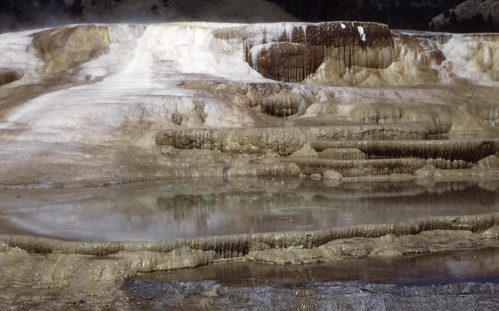 Angel TerraceHikingPhoto: NPS / public domain0.7 mi
 The HoodoosRock climbingPhoto: Ken Lund, CC BY-SA 2.0 (via Flickr)1.1 mi
 Gardner RiverCanoeingPhoto: Jo Suderman, Public domain (via Wikimedia Commons)3 mi
- Gardiner DistrictLake fishing5.5 mi
- Eagle CreekCamping6.1 mi
Source: Roamze catalog (indexable pages within 10 miles, PostGIS distance)
- Bunsen Peak OverlookHiking · ~1 min drive
- White Elephant Back TerraceHiking · ~1 min drive
 Mammoth Terraces TrailHiking · ~2 min drivePhoto: Greg Willis from Denver, CO, usa, CC BY-SA 2.0 (via Wikimedia Commons)
 Sportsman Lake TrailHiking · ~4 min drivePhoto: cchadek, CC BY 3.0 (via Wikimedia Commons)
 Lava Creek TrailHiking · ~6 min drivePhoto: R. Sieben, CC BY 3.0 (via Wikimedia Commons)
- Bunsen Peak Trailhead (1K4)Hiking · ~4 min drive
- New Highland TerraceHiking · ~2 min drive
- Clagett Butte TrailHiking · ~2 min drivePhoto: cchadek, CC BY 3.0 (via Wikimedia Commons)
 Yellowstone River TrailHiking · ~10 min drivePhoto: Forest Service - Northern Region, Public Domain Mark (via Flickr)
 Blacktail Deer Creek TrailHiking · ~9 min drivePhoto: cchadek, CC BY 3.0 (via Wikimedia Commons)
Also worth it near here
- The HoodoosRock climbing · ~2 min drivePhoto: Ken Lund, CC BY-SA 2.0 (via Flickr)
 Mammoth CampgroundCamping · ~2 min drivePhoto: Yellowstone National Park from Yellowstone NP, USA, Public domain (via Wikimedia Commons)
 Terrace MountainSummit · ~3 min drivePhoto: R. G. Johnsson, Public domain (via Wikimedia Commons)
 Rustic FallsWaterfall · ~3 min drivePhoto: James St. John, CC BY 2.0 (via Wikimedia Commons)
Best time to visit Osprey Falls Trail
Best months: July–September. Best months have typical highs of 55–85 °F, lows of 30 °F or warmer (32 °F where the station doesn't record snow), at most one snowy day and no more than 12 wet days.
Jan
31° / 12°
11 wet · 9 snow
Feb
34° / 12°
11 wet · 9 snow
Mar
42° / 19°
11 wet · 7 snow
Apr
50° / 26°
11 wet · 5 snow
May
60° / 35°
13 wet · 2 snow
Jun
69° / 42°
13 wet
Jul
81° / 48°
10 wet
Aug
80° / 47°
9 wet
Sep
69° / 39°
9 wet · 1 snow
Oct
54° / 29°
9 wet · 3 snow
Nov
39° / 19°
10 wet · 7 snow
Dec
30° / 12°
12 wet · 10 snow
Typical high / low (°F) and days with rain or snow, 1991–2020. Measured at Yellowstone Park Mammoth, WY, 1.4 mi away at 6,195 ft. The station sits about 900 ft lower than this place, so expect it a little cooler here. Source: NOAA NCEI U.S. Climate Normals 1991–2020.
Map and trail data © OpenStreetMap contributors
