
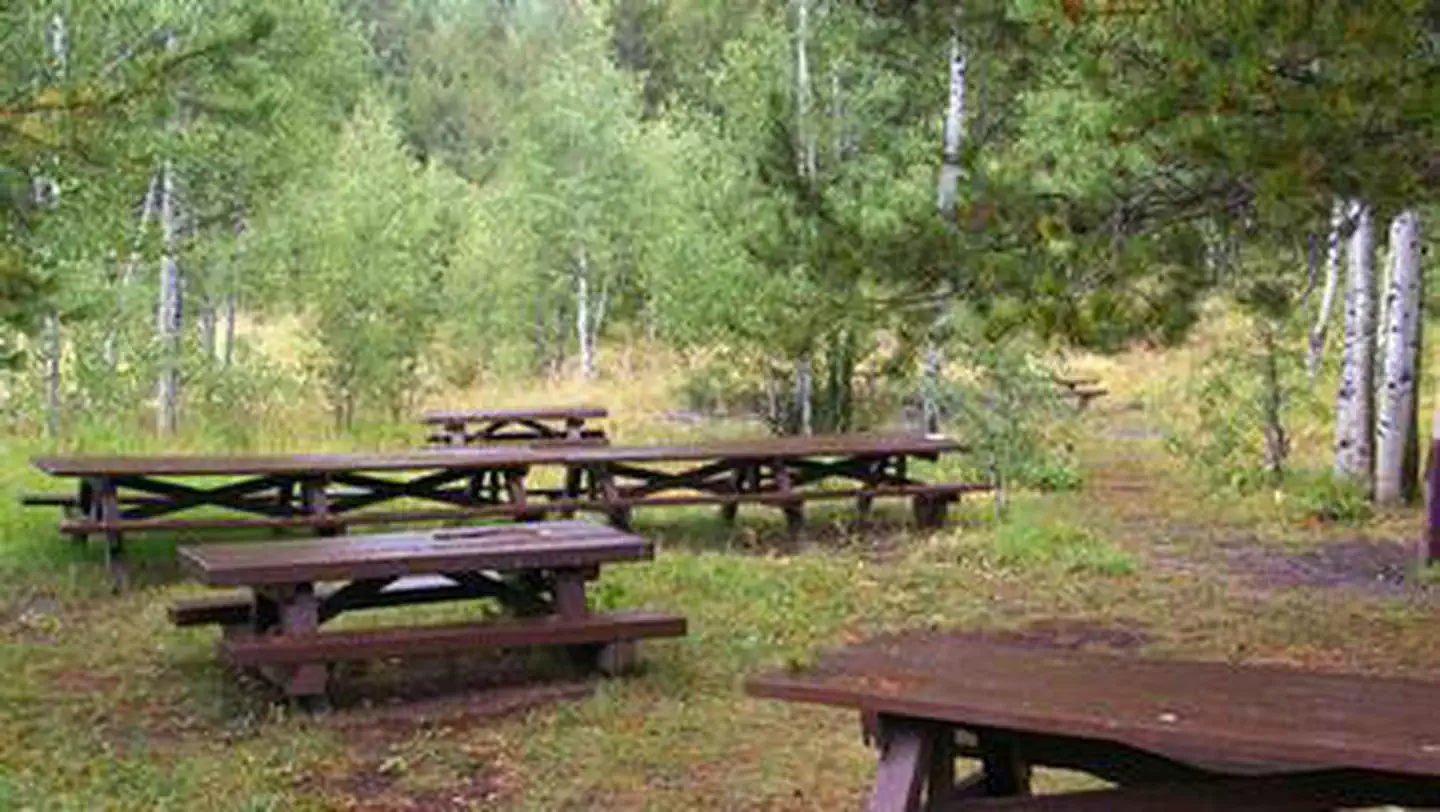


Greys River Cove
Hiking business nearby (~40 mi away) — hasn't claimed their Roamze page yet
Free — you'll pick up right here.
Watch this trail
Sign up to watch it — saving subscribes you to gate, closure and report changes.
Wyoming
14.6 mi
Distance
1,264 ft
Gain
5h 29m
Time
Agency alerts are in effect for this area; weather is good
2 factors · 2 sources
Newest 9 h ago · oldest 28 d
caution: Agency alerts
16 active alerts in Bridger-Teton National Forest; most severe: Camping Fees (Forest-wide)
USFS28 d ago
clear: Weather
Clear, high 65°F / low 37°F, 0% precip — 100/100 for hike
OpenWeather9 h ago
Been out here in the last few days? One report keeps this current for everyone.
Why you'll love it
North Fork Fish Creek
AI-suggested draft · review before you go
No permit or access details on file for this trail — check with the local land manager before you go.
North Fork Fish Creek is a 14.6-mile out-and-back trail located in Wyoming. This route follows the North Fork of Fish Creek, offering hikers a chance to explore the creek drainage system in a remote setting. The out-and-back format allows visitors to choose their own distance and turnaround point, making it accessible for hikers of varying experience levels. The trail provides a direct path into the Fish Creek watershed, where visitors may encounter wildlife and natural creek features throughout their journey. The relatively long distance of 14.6 miles round trip is suitable for day hikers seeking a substantial outing or backpackers looking to establish a base camp along the creek. This Wyoming trail presents an opportunity to experience the state's natural backcountry terrain. The creek environment supports vegetation and ecosystems typical of the region. Hikers should be prepared for variable weather conditions common to Wyoming's higher elevations and bring adequate water and supplies for an extended hike.

Second Creek
~5 min drive
1.7 mi · Easy

Salt River
~11 min drive
18 mi · Hard
Rock Creek Ridge
~11 min drive
5.5 mi · Moderate
Ccc Camp
~13 min drive
1.9 mi · Easy
Water Canyon
~13 min drive
10 mi · Hard
State Line
~12 min drive
3.5 mi · Moderate
Reservoir
~16 min drive
Easy 2.4-mile hike to scenic reservoir views with moderate elevation gain.

North Fork Swift Creek
~20 min drive
10 mi · Hard
North Fork Smiths Fork
~12 min drive
3.3 mi · Moderate
Little Elk Creek
~18 min drive
Easy creek-side walk through Idaho forest near Little Elk Creek.
Local operatorsoffering guided trips. You book directly with them — Roamze doesn’t take a cut.
Greys River Cove
Hiking business nearby (~40 mi away) — hasn't claimed their Roamze page yet