
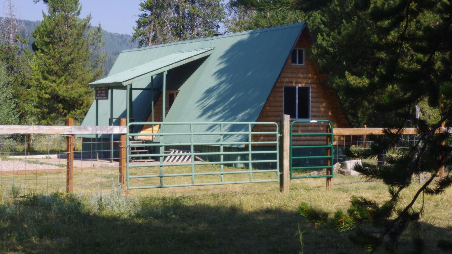

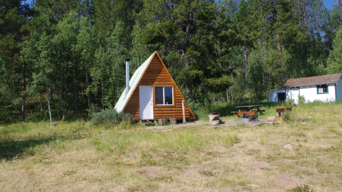
Greys River Cove
Hiking business nearby (~36 mi away) — hasn't claimed their Roamze page yet
Free — you'll pick up right here.
Save this plan
Sign up to save your own editable copy — you'll pick up right here.
Wyoming
24.4 mi
Distance
2,066 ft
Gain
9h 10m
Time
No conditions check on file for this trail yet — always verify current conditions before you go.
Why you'll love it
State Line
AI-suggested draft · review before you go
No permit or access details on file for this trail — check with the local land manager before you go.
State Line is a 24.4-mile out-and-back trail located in Wyoming. This backcountry route offers an extended hiking experience for those seeking distance and solitude in the region. The trail traverses varied terrain typical of Wyoming's landscape, making it suitable for hikers with solid endurance and navigation skills. The out-and-back format means hikers will cover roughly 12.2 miles to the turnaround point before retracing their steps. This structure allows flexibility for those who may want to turn back early or push to the full distance depending on conditions and fitness level. While elevation gain data is not available, the distance and terrain suggest this is a moderate to strenuous undertaking that typically requires a full day or overnight preparation. The trail's length makes it ideal for experienced hikers looking for a more remote Wyoming experience away from heavily trafficked routes. Proper preparation is essential—bring adequate water, navigation tools, and supplies for a long day in the backcountry. Check local conditions before heading out, as weather and trail conditions can change significantly in this region.

Second Creek
~8 min drive
1.7 mi · Easy

North Fork Swift Creek
~18 min drive
10 mi · Hard
Rock Creek Ridge
~13 min drive
5.5 mi · Moderate
Periodic Spring
~19 min drive
2.1 mi · Easy

Salt River
~20 min drive
18 mi · Hard
Sage Creek
~13 min drive
Moderate 5.83-mile sagebrush trail through scenic high desert terrain.
Sage Meadow
~15 min drive
Easy 2.16-mile sagebrush meadow walk with 596 ft elevation gain.
Gannet Ridge
~6 min drive
5.3 mi · Hard
S. Fk. Sage Creek
~13 min drive
Easy 3-mile creek walk with minimal elevation gain.
Pinnacle Peak
~16 min drive
Quick summit hike with easy access and scenic views near Pinnacle Peak.
Local operatorsoffering guided trips. You book directly with them — Roamze doesn’t take a cut.
Greys River Cove
Hiking business nearby (~36 mi away) — hasn't claimed their Roamze page yet