Lower Saddle
Campground
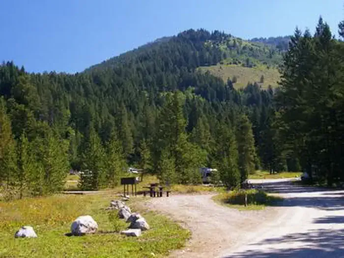
Campground · 2.2 mi from the trail
 Photo: Public domain (via Wikimedia Commons)
Alert in the area
The National Park Service lists 2 alerts for Grand Teton National Park.
Construction in the South End of the Park
Park alert covering Grand Teton National Park · NPS · Grand Teton National Park
Construction on HWY 26/89/191
Park alert covering Grand Teton National Park · NPS · Grand Teton National Park
As of · Source: NPS · Grand Teton National Park. Agencies don't list every closure — check before you go.
Hurricane Pass Trail is a moderate out-and-back hike of about 3.7 miles in Grand Teton National Park in Wyoming, crossing into the Caribou-Targhee National Forest. The trail rises from a low point of about 9,600 feet to a high of about 10,500 feet, with a total elevation gain of about 2,077 feet for the round trip. The climb is most pronounced in the middle of the route, and the trail is open to horses. The route starts at an elevation of about 10,524 feet, so the hike is as much about the climb as the distance. Plan for about 2.5 hours to complete it. The pass itself makes a natural anchor for a day spent exploring the surrounding network of trails. Several other routes lie within easy reach. The South Fork Cascade Canyon Trail is under a mile away, the Avalanche Divide Trail is about a mile off, and the Alaska Basin Shelf Trail is roughly 1.3 miles away. Climbers can find Middle Teton about 2 miles from the trail.
Lower Saddle
Campground
Places © OpenStreetMap contributors
More in JacksonNot on Roamze yet. Their page has how to reach them.
South Fork Cascade Canyon TrailHikingPhoto: Public domain (via Wikimedia Commons)0.8 miAvalanche Divide TrailHikingPhoto: Public domain (via Wikimedia Commons)1 mi Avalanche CanyonRock climbingPhoto: Eugene Crosser, CC BY 3.0 (via Wikimedia Commons)2.3 mi
 EnclosureRock climbingPhoto: Victoria Dihua Xue applexue, CC0 (via Wikimedia Commons)2.6 mi
 Teton CanyonCampingPhoto: Recreation.gov (RIDB) / public domain4 mi
Source: Roamze catalog (indexable pages within 10 miles, PostGIS distance)
South Fork Cascade Canyon TrailHiking · ~1 min drivePhoto: Public domain (via Wikimedia Commons)Avalanche Divide TrailHiking · ~2 min drivePhoto: Public domain (via Wikimedia Commons) Holly Lake TrailHiking · ~9 min drivePhoto: Eugene Crosser, CC BY 3.0 (via Wikimedia Commons)
 Death Canyon TrailHiking · ~9 min drivePhoto: aoiaio, CC BY 3.0 (via Wikimedia Commons)
Also worth it near here
 Table MountainSummit · ~3 min drivePhoto: Mike Weston from La Honda, CA, CC BY 2.0 (via Wikimedia Commons)Avalanche CanyonRock climbing · ~4 min drivePhoto: Eugene Crosser, CC BY 3.0 (via Wikimedia Commons)
 Shoshoko FallsWaterfall · ~5 min drivePhoto: National Park Service, CC BY-SA 4.0 (via Wikimedia Commons)
