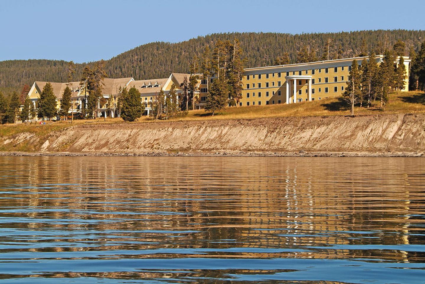
Loading…

Grizzly Fumarole
Free — you'll pick up right here.
Watch this trail
Sign up to watch it — saving subscribes you to gate, closure and report changes.
Wyoming
We won't guess. Here is exactly what we do and don't know.
What we do know
Inside Yellowstone National Park
National Park unit boundary is mapped — agency alerts for it feed this page automatically.
Boundary data
What's missing
No access route mapped
We don't yet know which road reaches this trailhead, so we can't tell you if it's gated.
Nobody's filed a report here yet — be the first.
Grizzly Fumarole
AI-suggested draft · review before you go
No elevation data on file for this trail.
While named a fumarole, this feature will change based on recent precipitation. When dry, it is a fumarole. When it has been rainy, this feature can be a mudpot.
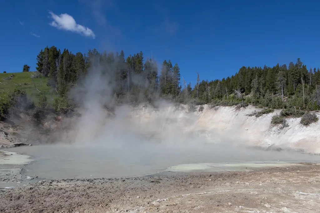
Mud Caldron
~0 min drive
<p>A large mudpot located near the parking area.</p>
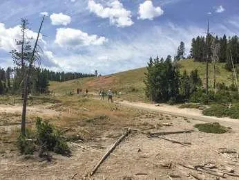
Cooking Hillside
~0 min drive
<p>The trees on this hillside are cooked by steam.</p> <p>In 1978, an earthquake swarm occurred at Mud Volcano. The intense swarm lasted about seven months. This hillside experienced increased heat, causing the vegetation to die.</p> <p>Researchers are able to study tree rings…

Mount Washburn Spur Trail
~13 min drive
17 mi · Hard
Seven Mile Hole Trail
~13 min drive
9.9 mi · Moderate

Elephant Back Mountain Trail
~8 min drive
5.8 mi · Easy
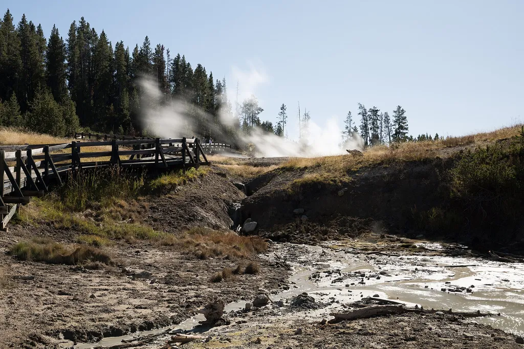
Sizzling Basin
~0 min drive
<p>A hot spring that has existing activity much like grease on a hot frying pan.</p>

Howard Eaton Trail
~20 min drive
22 mi · Hard

Observation Peak Trail
~16 min drive
9.4 mi · Moderate

Pelican Creek Nature Trail
~10 min drive
1.3 mi · Easy
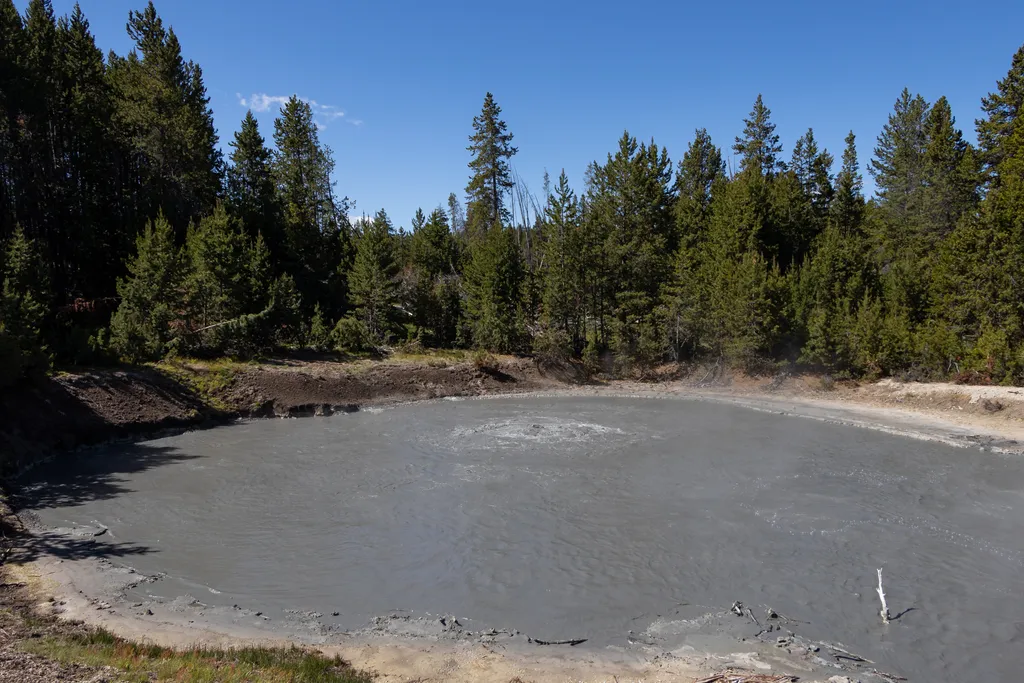
Black Dragon's Caldron
~0 min drive
<p>In 1948, Black Dragon’s Caldron burst through a crack in the earth. It uprooted and coated nearby trees with thick mud.</p> <p>Since then, this mudpot moved south 200 feet (60 m) along the crack. The spring feeding nearby Sour Lake was much more active before Black Dragon’s…