Loading…

Forests and Fens
Free — you'll pick up right here.
Watch this trail
Sign up to watch it — saving subscribes you to gate, closure and report changes.
Wyoming
We won't guess. Here is exactly what we do and don't know.
What we do know
Inside Yellowstone National Park
National Park unit boundary is mapped — agency alerts for it feed this page automatically.
Boundary data
What's missing
No access route mapped
We don't yet know which road reaches this trailhead, so we can't tell you if it's gated.
Nobody's filed a report here yet — be the first.
Forests and Fens
AI-suggested draft · review before you go
No elevation data on file for this trail.
This part of the boardwalk takes you through the edge of a lodgepole pine forest, the main type of forest found in the park. Below the pines are several wetland seeps. Seeps like these can provide habitat for rare plants. Lodgepole Pine The lodgepole pine (Pinus contorta) is by far the most common tree in Yellowstone. Early botanical explorers first encountered the species along the West Coast where it is often contorted into a twisted tree by the wind, and thus named it Pinus contorta var. contorta. The Rocky Mountain variety, which grows very straight, is Pinus contorta var. latifolia. Some American Indian tribes used this tree to make the frames of their tipis or lodges, hence the name “lodgepole” pine. Lodgepoles are the only pine in Yellowstone whose needles grow in groups of two. The bark is typically somewhat brown to yellowish, but a grayish-black fungus often grows on the shady parts of the bark, giving the tree a dark cast. The species is shade intolerant; any branches left in the shade below the canopy will wither and fall off the tree. Lodgepoles growing by themselves will often have branches all the way to the base of the trunk because sunlight can reach the whole tree. Wetlands Approximately 38% of the park’s plant species—including half of the rare plants—are associated with wetlands and 11% grow only in wetlands. Wetlands provide essential habitat for Yellowstone’s rare plants, thermal species, reptiles and amphibians, and for numerous insects, birds and fish.
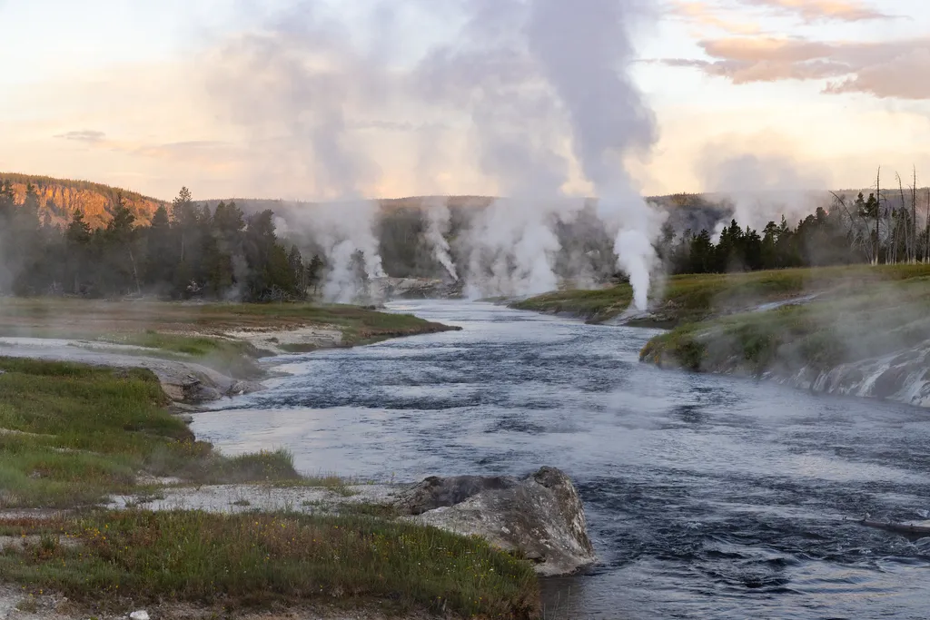
Firehole River
~1 min drive
<p>The Firehole River starts and ends in Yellowstone National Park. It starts near Madison Lake, a small lake west of Shoshone Lake, and flows through the park 21 miles to Madison Junction. There it merges with the Gibbon River to form the Madison River.</p> <p>Along this cour…

Fairy Falls Trail
~6 min drive
15 mi · Hard
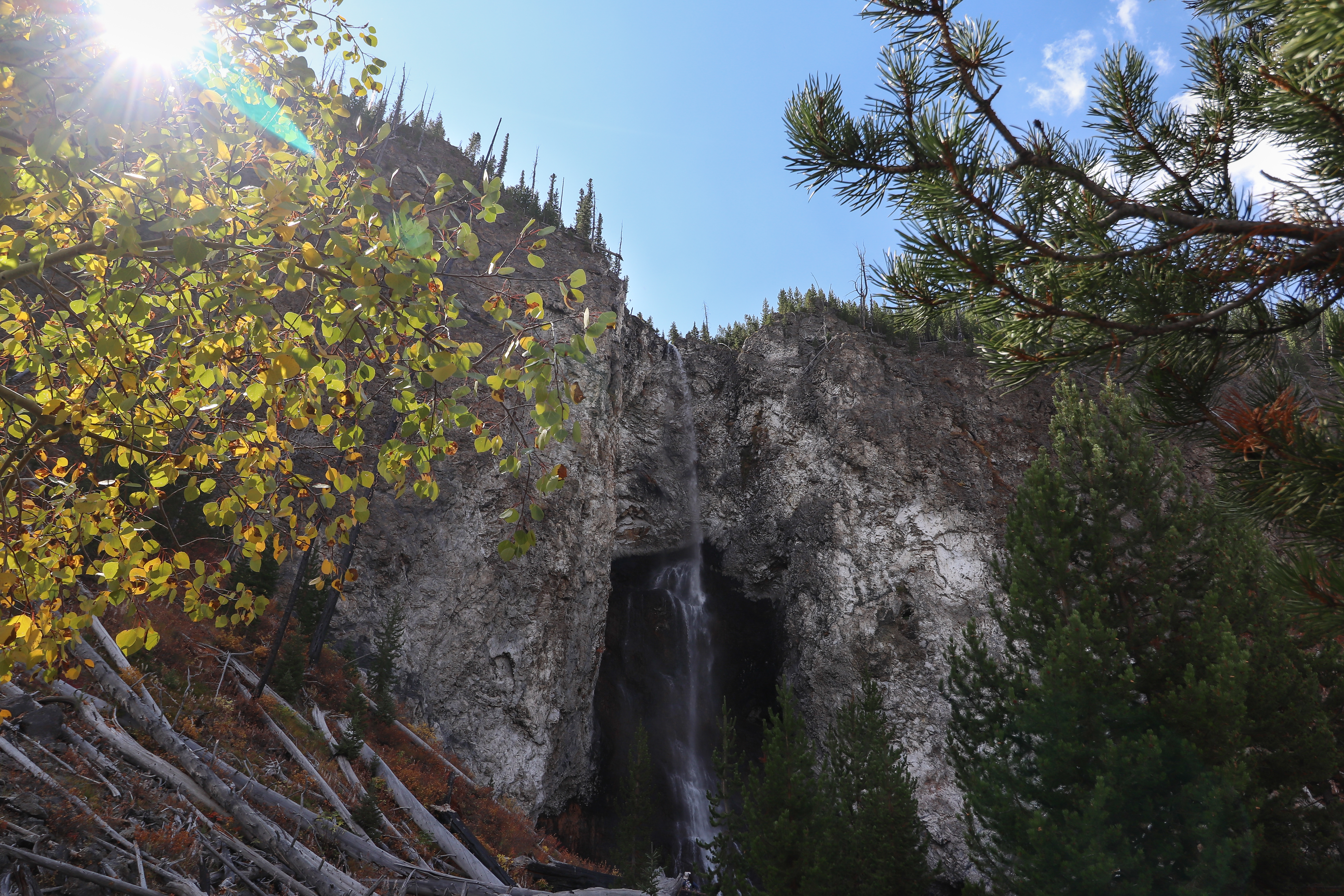
Fairy Falls Trailhead (OK5)
~6 min drive
This trailhead provides access to the following trails: Grand Prismatic Overlook Trail Fairy Falls Trail Grand Prismatic Overlook Trail An easy 1.2-mile (1.9-km) hike that gradually climbs 105 feet over 0.6 miles from the Fairy Falls Trailhead to a view looking down on Gra…

Purple Mountain Trail
~22 min drive
6.7 mi · Moderate
ESCAPE to Yellowstone Award Certificate
~1 min drive
<p>Congratulations! You have made it to the final stop along the ESCAPE to Yellowstone experience. Be proud! You have learned to build self-esteem and character, have tested your mental agility and physical fitness, and hopefully have had fun participating.</p> <p>Have your co…
Whiskey (Snowmo)
~31 min drive
Moderate 11.22-mile snowmobile trail with gentle elevation gain through Montana backcountry.
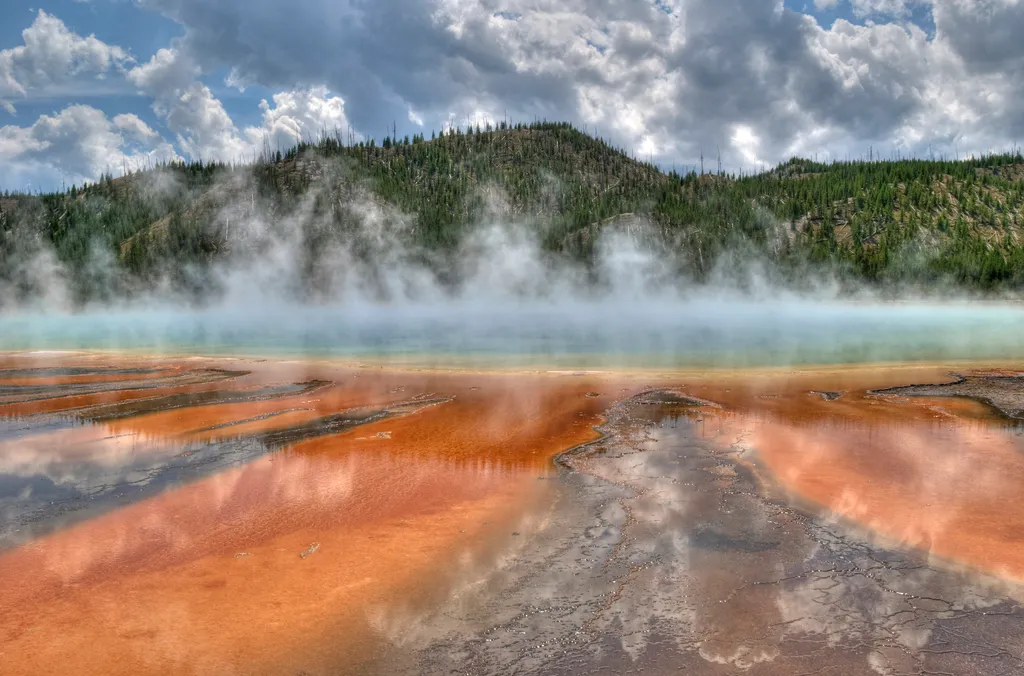
Grand Prismatic Spring
~7 min drive
<p>Grand Prismatic Spring, Yellowstone’s largest hot spring, is 200-330 feet in diameter and more than 121 feet deep.</p> <p>Limited parking, especially 10 am-6 pm. Located in Midway Geyser Basin.</p> <h2>Hot Springs</h2> <p>Hot springs are the most common hydrothermal feature…
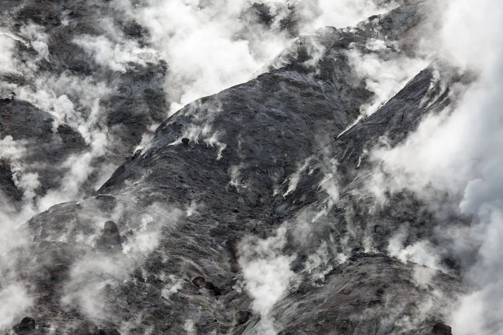
Fumaroles
~10 min drive
<p>The hiss and roar of a fumarole comes from gases—steam, carbon dioxide, and a little hydrogen sulfide—rushing from the ground through the vent. Its plumbing reaches down into the hot rock masses, but contains very little water. When water contacts the hot rock, it flashes i…
Windy Ridge
~32 min drive
Accessible ridge hike with expansive views and moderate distance.
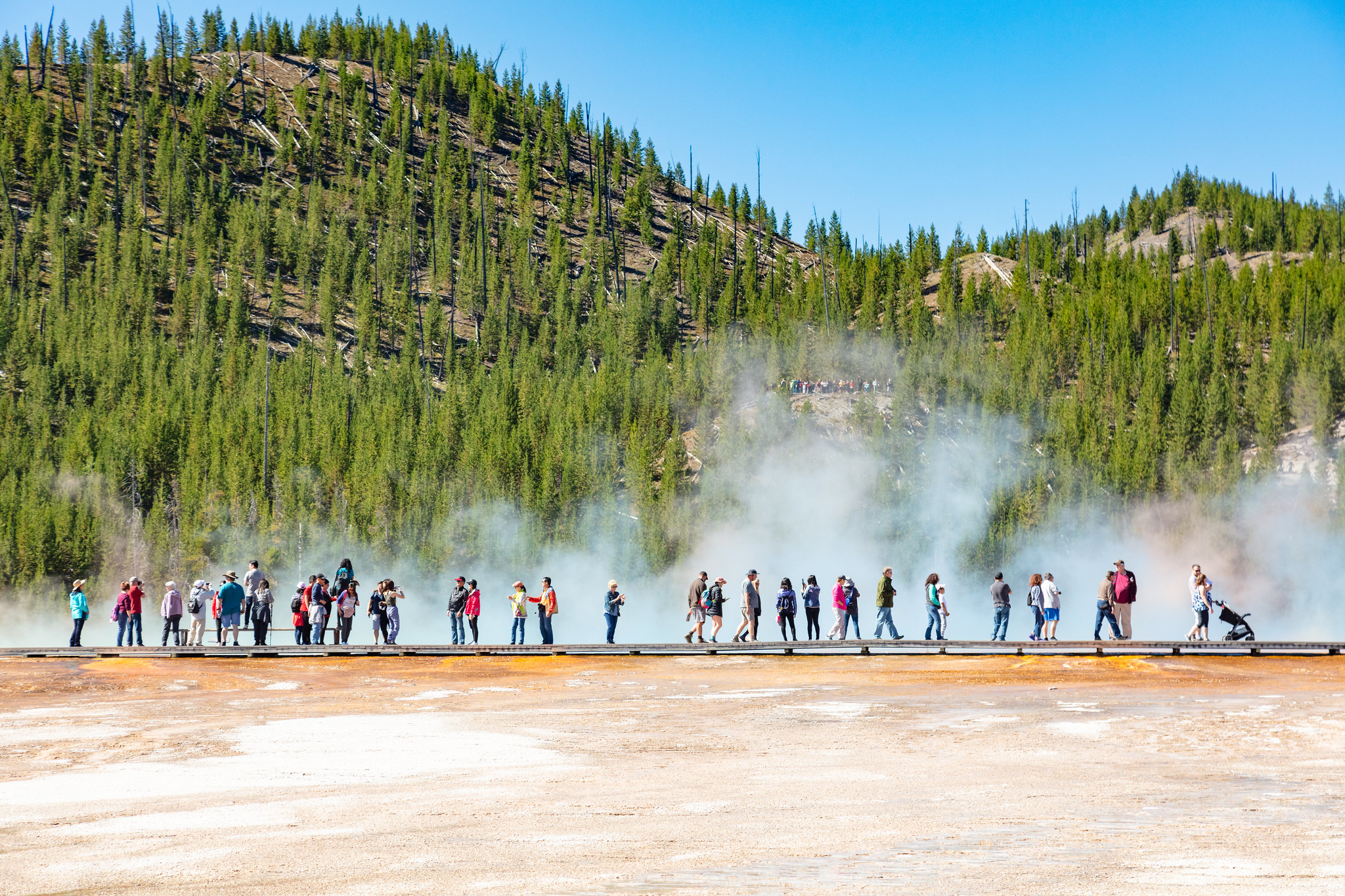
Midway Geyser Basin Trailhead
~7 min drive
Midway Geyser Basin is small but spectacular. Excelsior Geyser is a 200 x 300 foot crater that constantly discharges more than 4,000 gallons of water per minute into the Firehole River. Grand Prismatic Spring, Yellowstone’s largest hot spring, is 200–330 feet in diameter and…