Loading…

Free — you'll pick up right here.
Watch this trail
Sign up to watch it — saving subscribes you to gate, closure and report changes.
Wyoming
31.6 mi
Distance
2,990 ft
Gain
12h 2m
Time
We won't guess. Here is exactly what we do and don't know.
What we do know
Inside Shoshone National Forest
3 managing-area boundaries mapped — agency alerts for them feed this page automatically.
Boundary data
What's missing
No access route mapped
We don't yet know which road reaches this trailhead, so we can't tell you if it's gated.
Nobody's filed a report here yet — be the first.
Why you'll love it
Eagle Creek
AI-suggested draft · review before you go
No permit or access details on file for this trail — check with the local land manager before you go.
Eagle Creek is a 31.6-mile out-and-back trail located in Wyoming. This backcountry route offers an extended hiking experience for those seeking distance and remote terrain. The trail follows Eagle Creek through Wyoming's landscape, making it suitable for hikers prepared for a full day or multi-day adventure given its length. As an out-and-back trail, hikers will travel the same route on the return journey, allowing for flexibility in how far to venture before turning back. This format is ideal for those who want to customize their experience based on fitness level and available time. The trail's exact elevation profile is not currently documented, so hikers should research local conditions and topographic maps before heading out. Eagle Creek draws visitors interested in creek-side hiking and accessing Wyoming's backcountry. Due to the trail's distance, proper preparation including adequate water, navigation tools, and supplies is essential. Check local trail conditions and any necessary permits or access requirements before your visit.

Libby Cr Trail
~4 min drive
9.9 mi · Moderate
Kitty Cr Trail
~5 min drive
16 mi · Hard
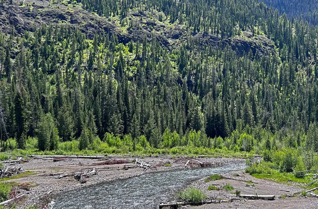
East Entrance Station
~9 min drive
<p>Yellowstone and Grand Teton national parks charge separate entrance fees. People visiting both parks can save money by purchasing an Interagency Annual Pass. Learn more about <a href="https://www.nps.gov/yell/planyourvisit/fees.htm">fees and passes</a> online.</p> <h2>Roads…

Avalance Peak Trail
~20 min drive
4.6 mi · Easy

Grinnell Trailhead Trail
~5 min drive
4.1 mi · Moderate

Goff Cr Trail
~6 min drive
8.4 mi · Hard
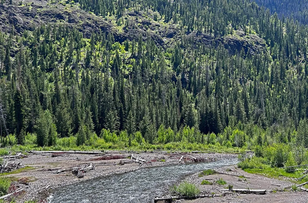
East Entrance Vault Toilet
~9 min drive
A worthwhile stop near Wyoming.

West Grinnell Cr Trail
~7 min drive
10 mi · Moderate

Fishawk Cr Trail
~6 min drive
20 mi · Hard
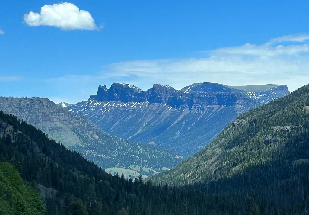
Three Mile Bend Vault Toilet
~14 min drive
A worthwhile stop near Wyoming.