North Fork Shoshone River
 Photo: Paul Hermans, CC BY-SA 4.0 (via Wikimedia Commons)
- 12.0 mi
- distance
- 8,921 ft
- high point
- Jul–Sep
- best months
Is North Fork Shoshone River open right now?
Alert in the area
The Forest Service lists an alert for Shoshone National Forest.
Morrison Jeep Trail
Agency alert covering Shoshone National Forest · USFS · Shoshone National Forest
As of · Source: USFS · Shoshone National Forest. Agencies don't list every closure — check before you go.
North Fork Shoshone River is a 12-mile paddling stretch near Cody, Wyoming. It flows year-round. USGS models an average flow of about 91 cfs and a gradient of about 173.5 feet per mile. Land along it is managed by the U.S. Forest Service.
- Old Grinnell Creek TrailHiking3.3 mi
- East ForkHiking3.3 mi
- West ForkHiking3.4 mi
- PahaskaHiking3.4 mi
- Silvertip Basin TrailHiking4.1 mi
- Threemile CampgroundCamping7.4 mi
 Lamar RiverCanoeingPhoto: J. Schmidt, Public domain (via Wikimedia Commons)8 mi
 Eagle Creek CampgroundCampingPhoto: Betty Jo Tindle, CC BY-SA 3.0 (via Wikimedia Commons)8.6 mi
Source: Roamze catalog (indexable pages within 10 miles, PostGIS distance)
- Lamar RiverCanoeing · ~14 min drivePhoto: J. Schmidt, Public domain (via Wikimedia Commons)
- North Fork Shoshone River Boat RampBoat launch · ~43 min drive
 Sunlight CreekCanoeing · ~27 min drivePhoto: Yellowstone National Park, Public domain (via Wikimedia Commons)
- Bridge Bay Boat Launch RampBoat launch · ~47 min drive
 Clarks Fork Yellowstone RiverCanoeing · ~42 min drivePhoto: T. A. Jagger, Public domain (via Wikimedia Commons)
- Andy Martin Hill Boat RampBoat launch · ~58 min drive
 Heart RiverCanoeing · ~1h 5m drivePhoto: NPS, Public domain (via Wikimedia Commons)
- Hogan Reservoir Boat LaunchBoat launch · ~59 min drive
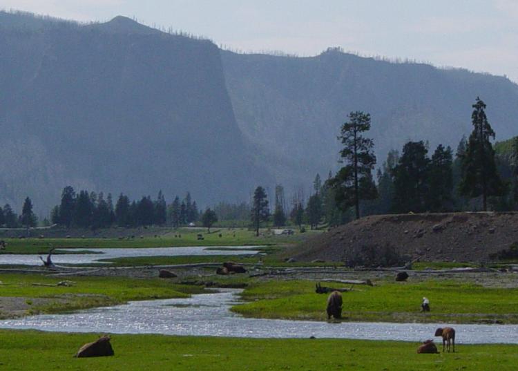 Gibbon RiverCanoeing · ~1h 8m drivePhoto: Daniel Mayer, CC BY-SA 3.0 (via Wikimedia Commons)
- Grant Marina Boat LaunchBoat launch · ~1h drive
Also worth it near here
 Pollux PeakSummit · ~9 min drivePhoto: Yellowstone National Park, Public domain (via Wikimedia Commons)
- Sweetwater Creek FallsWaterfall · ~13 min drive
- Sleeping Giant Winter Sports AreaDownhill skiing · ~13 min drive
- Eagle Creek CampgroundCamping · ~15 min drivePhoto: Betty Jo Tindle, CC BY-SA 3.0 (via Wikimedia Commons)
Best time to visit North Fork Shoshone River
Best months: July–September. Best months have typical highs of 55–85 °F, lows of 30 °F or warmer (32 °F where the station doesn't record snow), at most one snowy day and no more than 12 wet days.
Jan
23° / 3°
17 wet
Feb
27° / 3°
15 wet
Mar
35° / 11°
14 wet
Apr
42° / 19°
12 wet
May
50° / 29°
12 wet
Jun
61° / 36°
13 wet
Jul
71° / 43°
10 wet
Aug
71° / 42°
10 wet
Sep
61° / 34°
10 wet
Oct
46° / 25°
9 wet
Nov
33° / 15°
12 wet
Dec
24° / 7°
16 wet
Typical high / low (°F) and days with rain or snow, 1991–2020. Measured at Lake Yellowstone, WY, 24.9 mi away at 7,892 ft. The station sits about 1,000 ft lower than this place, so expect it a little cooler here. This station doesn't record snowfall. Source: NOAA NCEI U.S. Climate Normals 1991–2020.
