Trail Creek
Campground
Campground · 3.3 mi from the trail
No closures listed
The Forest Service lists no closures for Caribou-Targhee National Forest.
As of · Source: USFS · Caribou-Targhee National Forest. Agencies don't list every closure — check before you go.
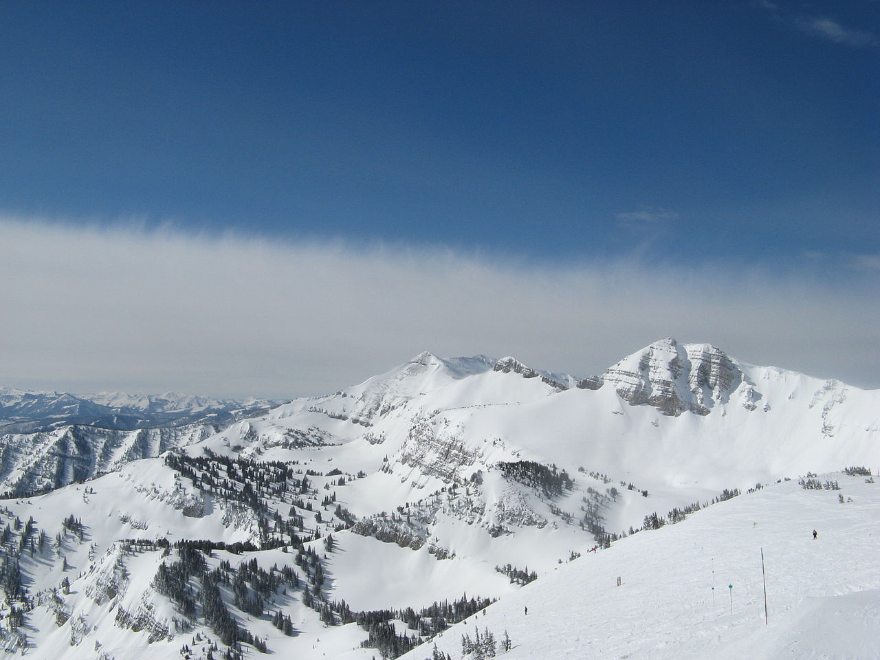
Coal Creek is a hard hike in Wyoming's Caribou-Targhee National Forest, within the Teton Basin Ranger District. The trail is an out-and-back that climbs from about 7,257 feet to 9,193 feet, a total gain of 1,843 feet over roughly 9.4 miles. The Forest Service manages the land, and the trail is open from June 1 through October 31. The route is natural-surface and allows horses, but bikes are not permitted. That makes it a good fit for riders on horseback or on foot, and the trailhead parking is named Coal Creek. The climb is a significant one, and the high point sits well above the starting elevation. For a longer outing, the Mail Cabin hike lies about 0.7 miles away, and the West Burbank Trail and Black Canyon are both within about 2 miles. Trail Creek campground, about 3.3 miles off, offers a place to stay overnight.
Trail Creek
Campground
Flat Creek Overlook
Viewpoint
Places © OpenStreetMap contributors
More in JacksonNot on Roamze yet. Their page has how to reach them.
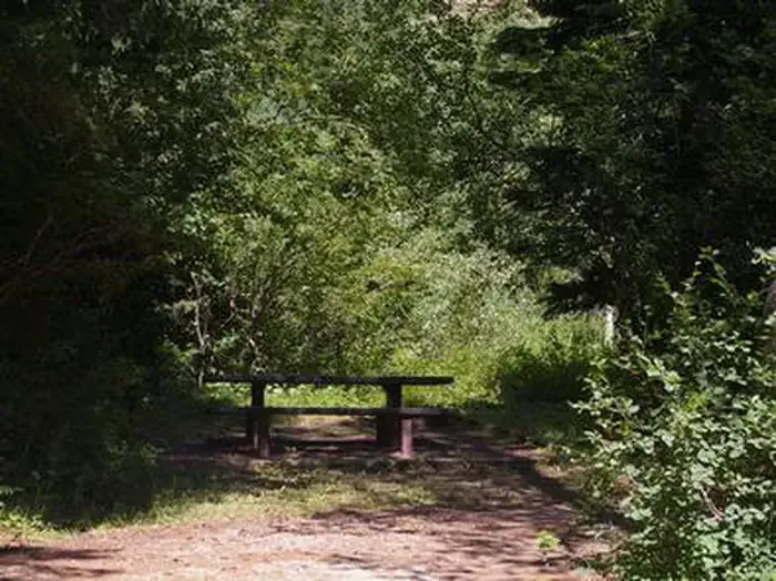 Trail CreekCampingPhoto: Recreation.gov (RIDB) / public domain3.3 mi
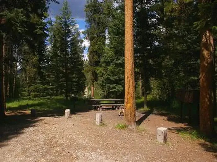 Mike HarrisCampingPhoto: Recreation.gov (RIDB) / public domain5.1 mi
Source: Roamze catalog (indexable pages within 10 miles, PostGIS distance)
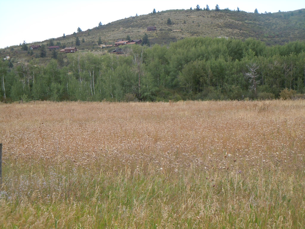 Mikesell CanyonHiking · ~8 min drivePhoto: Matt Lavin, CC BY-SA 2.0 (via Flickr)CampgroundHiking · ~8 min drivePhoto: Matt Lavin, CC BY-SA 2.0 (via Flickr)