
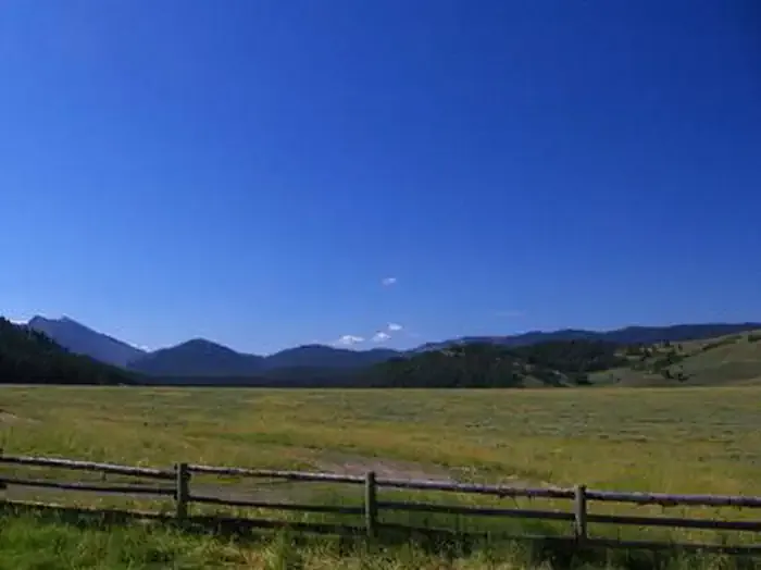
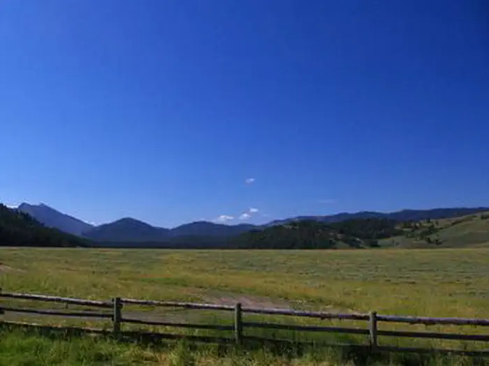

Greys River Cove
Hiking business nearby (~25 mi away) — hasn't claimed their Roamze page yet
Free — you'll pick up right here.
Watch this trail
Sign up to watch it — saving subscribes you to gate, closure and report changes.
Wyoming
10.3 mi
Distance
677 ft
Gain
3h 46m
Time
We won't guess. Here is exactly what we do and don't know.
What we do know
Inside Bridger-Teton National Forest
2 managing-area boundaries mapped — agency alerts for them feed this page automatically.
Boundary data
What's missing
No access route mapped
We don't yet know which road reaches this trailhead, so we can't tell you if it's gated.
Nobody's filed a report here yet — be the first.
Why you'll love it
Bondurant Creek
AI-suggested draft · review before you go
No permit or access details on file for this trail — check with the local land manager before you go.
Bondurant Creek is a 10.3-mile out-and-back trail located in Wyoming. This trail offers hikers a substantial distance covering just over 20 miles of total travel when completing the full route. The out-and-back format allows visitors to turn back at any point along the creek drainage, making it accessible for hikers of varying abilities who can choose their own turnaround point. The trail follows Bondurant Creek through the Wyoming landscape, providing a waterway-focused hiking experience. Whether you're seeking a full 10.3-mile trek to the trail's end or planning a shorter out-and-back excursion partway up the drainage, this route accommodates flexible itineraries. Bondurant Creek trail is ideal for hikers looking for a moderate distance day hike in Wyoming's backcountry. The creek setting offers scenic water features throughout the hike. Plan accordingly for weather and trail conditions before heading out, as elevation gain information is not currently available for trip planning purposes.

Monument Ridge
~13 min drive
19 mi · Hard
Cliff Creek
~7 min drive
0.5 mi · Easy
Cliff Creek Pass
~11 min drive
4.9 mi · Moderate

Upper Shoal Creek
~17 min drive
14 mi · Hard
Phospate Creek
~12 min drive
2.6 mi · Easy
Phosphate
~15 min drive
4.2 mi · Moderate
Cow Creek - Bull Creek
~19 min drive
10 mi · Hard
Creekview
~20 min drive
1.5 mi · Easy
Big Spring
~16 min drive
5.0 mi · Moderate
Highline
~0 min drive
17 mi · Hard
Local operatorsoffering guided trips. You book directly with them — Roamze doesn’t take a cut.
Greys River Cove
Hiking business nearby (~25 mi away) — hasn't claimed their Roamze page yet
The Virginian RV Park
Hiking business nearby (~27 mi away) — hasn't claimed their Roamze page yet
Yellowstone Trail RV Park
Hiking business nearby (~37 mi away) — hasn't claimed their Roamze page yet