Roosevelt Meadows Trail
- 0.4 mi
- round trip
- 127 ft
- climb
- 8,343 ft
- high point
- Out and back
- route
- Jun–Aug
- best months
Is Roosevelt Meadows Trail open right now?
No closures listed
The Forest Service lists no closures for Bridger-Teton National Forest.
As of · Source: USFS · Bridger-Teton National Forest. Agencies don't list every closure — check before you go.
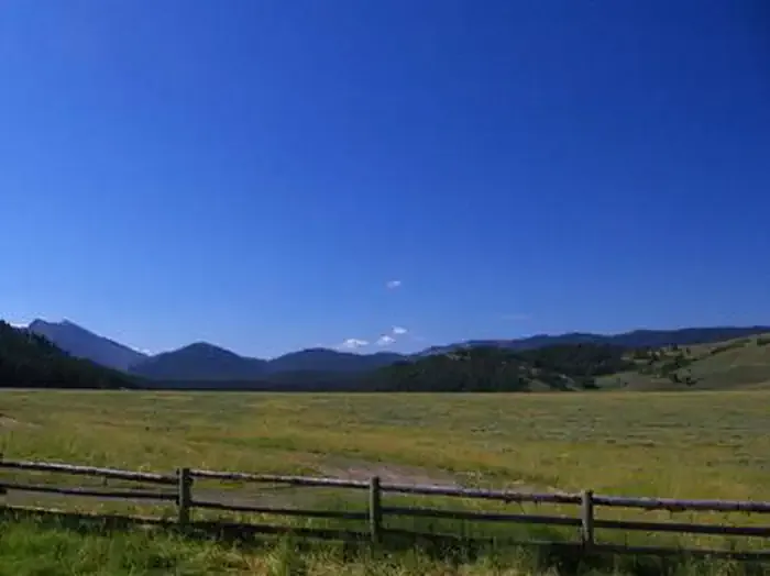
Roosevelt Meadows Trail is an easy, short out-and-back hike in Wyoming's Bridger-Teton National Forest, within the Greys River Ranger District. It covers less than a mile of trail and rises about 100 feet, with a high point of 8,343 feet, and it is managed by the Forest Service. The trail is a low-effort outing, with the steepest stretch coming about 0.36 miles in at a 7% grade. The total round-trip climb is about 127 feet, so the route is suited to a quick stop rather than a full day on foot. Summer is the most comfortable time to visit, with typical July averages from a nearby weather station at 72°F for highs and 35°F for lows. Winter is cold, with typical January highs near 26°F. Nearby options include Cliff Creek Pass, about 0.4 miles away, and Upper Hoback at about 1.1 miles. For a longer trip, the Hoback River offers paddling roughly 8 miles from the trail, and McCain Cabin lies about 7 miles away.
Local outfitters
- Greys River Cove22 mi away
- The Virginian RV Park30 mi away
Not on Roamze yet. Their page has how to reach them.
- Cliff Creek PassHiking0.4 mi
- Upper HobackHiking1.1 mi
- Cliff CreekHiking2.9 mi
- Pickle PassHiking3.3 mi
- Deadman Peak Blowdown BypassHiking3.4 mi
- Deadman PeakHiking4 mi
 McCain CabinCampingPhoto: Recreation.gov (RIDB) / public domain7.2 mi
- Hoback RiverCanoeing8 mi
Source: Roamze catalog (indexable pages within 10 miles, PostGIS distance)
- Cliff Creek PassHiking · Next door
- Upper HobackHiking · ~2 min drive
- Cliff CreekHiking · ~5 min drive
- Pickle PassHiking · ~6 min drive
- Grizzly CreekHiking · ~7 min drive
- Deadman Peak Blowdown BypassHiking · ~6 min drive
- Hoback Headwaters WaytrailHiking · ~7 min drive
- Little Greys RiverHiking · ~7 min drive
- Blind Trail SpurHiking · ~9 min drive
- Old Hunter Creek TrailHiking · ~8 min drive
Best time to visit Roosevelt Meadows Trail
Best months: June–August. Best months have typical highs of 55–85 °F, lows of 30 °F or warmer (32 °F where the station doesn't record snow), at most one snowy day and no more than 12 wet days.
Jan
26° / -6°
9 wet
Feb
29° / -4°
9 wet
Mar
36° / 5°
10 wet
Apr
43° / 16°
10 wet
May
54° / 26°
11 wet
Jun
64° / 32°
10 wet
Jul
72° / 35°
8 wet
Aug
71° / 34°
9 wet
Sep
62° / 28°
8 wet
Oct
48° / 19°
8 wet
Nov
35° / 6°
9 wet
Dec
25° / -5°
10 wet
Typical high / low (°F) and days with rain or snow, 1991–2020. Measured at Darwin Rch, WY, 33.3 mi away at 8,190 ft. This station doesn't record snowfall. Source: NOAA NCEI U.S. Climate Normals 1991–2020.
Map and trail data © OpenStreetMap contributors
