McCain Cabin
Campground
Sites open the weekend of Nov 27 on Recreation.gov
No closures listed
The Forest Service lists no closures for Bridger-Teton National Forest.
As of · Source: USFS · Bridger-Teton National Forest. Agencies don't list every closure — check before you go.
Bailey Creek is a 15.9-mile out-and-back hike in the Greys River Ranger District of Bridger-Teton National Forest in Wyoming, on Forest Service land. The trail is rated hard, with an elevation gain of 276 feet from the low point at 5,863 feet to the high at 7,288 feet. Summer is the most comfortable time to go. Typical averages from the nearby Bondurant weather station, at a lower elevation, show July and August highs around 80°F with lows near 40°F. Winter is severe, with January highs around 24°F and lows near 2°F. The trail is open from May 1 through October 31. The Bailey Creek Trailhead parking area sits about 0.4 miles from McCain Cabin, and the Big Spring and Phosphate hikes lie within about a mile and a half. Paddlers can reach the Little Greys River, roughly 1.8 miles away.
McCain Cabin
Campground
Places © OpenStreetMap contributors, Places © Overture Maps Foundation
More in JacksonNot on Roamze yet. Their page has how to reach them.
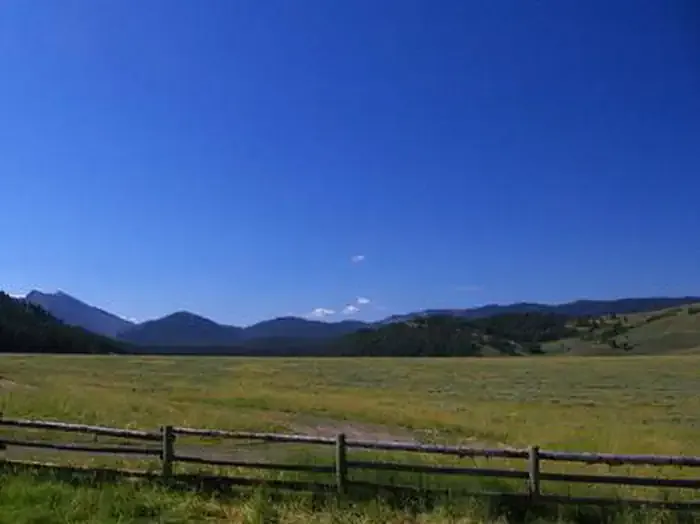 McCain CabinCampingPhoto: Recreation.gov (RIDB) / public domain0.4 mi
Source: Roamze catalog (indexable pages within 10 miles, PostGIS distance)
Best months: May–September. Best months have typical highs of 55–85 °F, lows of 30 °F or warmer (32 °F where the station doesn't record snow), at most one snowy day and no more than 12 wet days.
Jan
24° / 2°
12 wet
Feb
29° / 3°
10 wet
Mar
39° / 13°
11 wet
Apr
50° / 26°
10 wet
May
62° / 33°
11 wet
Jun
71° / 38°
10 wet
Jul
80° / 41°
8 wet
Aug
80° / 40°
8 wet
Sep
71° / 33°
8 wet
Oct
56° / 25°
8 wet
Nov
39° / 16°
9 wet
Dec
24° / 3°
12 wet
Typical high / low (°F) and days with rain or snow, 1991–2020. Measured at Bondurant, WY, 16.6 mi away at 6,693 ft. The station sits about 600 ft lower than this place, so expect it a little cooler here. This station doesn't record snowfall. Source: NOAA NCEI U.S. Climate Normals 1991–2020.
