Pickle Pass
- 3.5 mi
- round trip
- 1,367 ft
- climb
- 8,858 ft
- high point
- Out and back
- route
- Jun–Aug
- best months
Is Pickle Pass open right now?
No closures listed
The Forest Service lists no closures for Bridger-Teton National Forest.
As of · Source: USFS · Bridger-Teton National Forest. Agencies don't list every closure — check before you go.
Pickle Pass is a 3.5-mile out-and-back hike on natural trail in the Greys River Ranger District of Bridger-Teton National Forest in Wyoming. The route rises from about 7,500 feet to a high point of 8,858 feet, a gain of 1,367 feet, and is rated moderate. The Forest Service manages the land. Summer is the most comfortable time to go. Typical averages from a nearby weather station at Darwin run to highs around 72°F in July, with lows in the mid-30s. That station sits about 668 feet below the pass, so temperatures on the summit run cooler. The pass is open from May 1 to October 31. Hikers and riders can take bikes and horses on the trail. Nearby, Little Greys River is about a mile away and Deadman Peak Blowdown Bypass is about 1.8 miles off. McCain Cabin offers camping about 4.2 miles away, and Telephone Pass/Blind Trail is about 2.5 miles away.
Local outfitters
- Greys River Cove19 mi away
- The Virginian RV Park28 mi away
Not on Roamze yet. Their page has how to reach them.
- Little Greys RiverHiking1.1 mi
- Deadman Peak Blowdown BypassHiking1.8 mi
- Blind Trail SpurHiking2.1 mi
- Telephone Pass/Blind TrailHiking2.5 mi
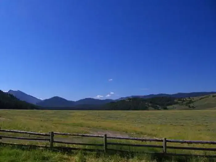 McCain CabinCampingPhoto: Recreation.gov (RIDB) / public domain4.2 mi
- Deer Creek Cabin (wy)Camping8.4 mi
- Moose Flat CampgroundCamping8.6 mi
- Willow CreekCanoeing9.4 mi
Source: Roamze catalog (indexable pages within 10 miles, PostGIS distance)
- Little Greys RiverHiking · ~2 min drive
- Deadman Peak Blowdown BypassHiking · ~3 min drive
- Cliff Creek PassHiking · ~5 min drive
- BLIND BULL/HORSE CREEKHiking · ~16 min drive
- Deadman PeakHiking · ~7 min drive
- Blind Trail SpurHiking · ~4 min drive
- Old Hunter Creek TrailHiking · ~8 min drive
- Grayback Ridge South BootpathHiking · ~7 min drive
- Telephone Pass/Blind TrailHiking · ~4 min drive
- Hoback Headwaters WaytrailHiking · ~10 min drive
Best time to visit Pickle Pass
Best months: June–August. Best months have typical highs of 55–85 °F, lows of 30 °F or warmer (32 °F where the station doesn't record snow), at most one snowy day and no more than 12 wet days.
Jan
26° / -6°
9 wet
Feb
29° / -4°
9 wet
Mar
36° / 5°
10 wet
Apr
43° / 16°
10 wet
May
54° / 26°
11 wet
Jun
64° / 32°
10 wet
Jul
72° / 35°
8 wet
Aug
71° / 34°
9 wet
Sep
62° / 28°
8 wet
Oct
48° / 19°
8 wet
Nov
35° / 6°
9 wet
Dec
25° / -5°
10 wet
Typical high / low (°F) and days with rain or snow, 1991–2020. Measured at Darwin Rch, WY, 34.7 mi away at 8,190 ft. The station sits about 700 ft lower than this place, so expect it a little cooler here. This station doesn't record snowfall. Source: NOAA NCEI U.S. Climate Normals 1991–2020.
