
The Virginian RV Park
Hiking business nearby (~39 mi away) — hasn't claimed their Roamze page yet
Free — you'll pick up right here.
Watch this trail
Sign up to watch it — saving subscribes you to gate, closure and report changes.
Wyoming
12.4 mi
Distance
1,776 ft
Gain
5h 2m
Time
We won't guess. Here is exactly what we do and don't know.
What we do know
Inside Bridger-Teton National Forest
3 managing-area boundaries mapped — agency alerts for them feed this page automatically.
Boundary data
What's missing
No access route mapped
We don't yet know which road reaches this trailhead, so we can't tell you if it's gated.
Nobody's filed a report here yet — be the first.
Why you'll love it
Arizona Creek Trail
AI-suggested draft · review before you go
No permit or access details on file for this trail — check with the local land manager before you go.
Arizona Creek Trail is a 12.4-mile out-and-back hike located in Wyoming. The trail follows Arizona Creek through scenic backcountry terrain, making it suitable for hikers seeking a moderate to moderately strenuous day hike or backpacking trip. The out-and-back format means hikers will cover approximately 6.2 miles to reach the turnaround point before retracing their route. This structure allows for flexible trip planning, as hikers can adjust their turnaround point based on fitness level and time constraints. The trail offers access to Wyoming's natural landscape along the creek corridor. Arizona Creek Trail is a good option for those looking to explore less-crowded areas while enjoying riparian scenery and the waterway's ecosystem. Before heading out, check current trail conditions and weather forecasts, as Wyoming's mountain terrain can present variable conditions. Bring adequate water, sun protection, and navigation tools. The creek provides water availability along the route, though treating or filtering water is recommended. This trail works well for day hikers and backpackers alike.

Bailey Creek
~4 min drive
6.7 mi · Hard
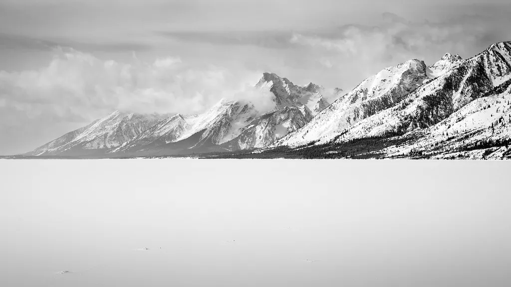
A Patchwork of Habitats
~5 min drive
<p>Stop 4 (Jackson Lake Overlook): What effects do repeated fires have on a landscape, and why is that important for forests and wildlife? Explore our Fire History page to see a map of fires in the park over the last several decades, including the ones Diane and Ron discuss.</p>
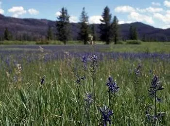
Arizona Meadows Turnout
~6 min drive
<p>This wet meadow turns blue violet in the early summer when blue camas blooms. Shoshone Indians harvested the bulbs once the flowers bloomed so that they did not confuse the plant with death camas that could be a very deadly mistake! The roasted bulbs formed an important par…
Colter / Wolverine Trailhead (8K8)
~17 min drive
<p>This is a remote trailhead at the southern boundary of the park that is not accessible by road. From this trailhead, you can embark on the following trails within the park:</p> <ul> <li>Colter / Wolverine Trail</li> <li>South Boundary Trail: South Entrance–Harebell</li> <li…

Sheffield
~9 min drive
14 mi · Hard
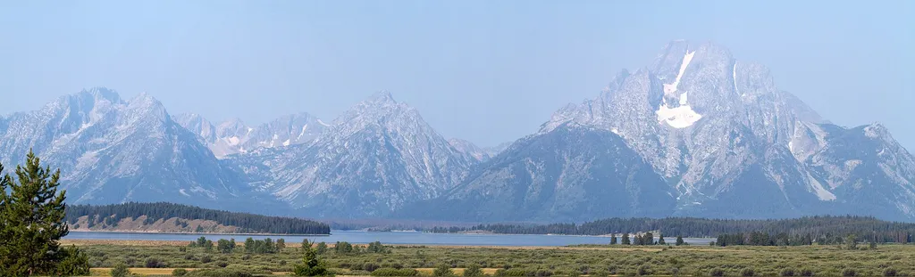
John D. Rockefeller, Jr. Memorial Parkway South Turnout
~6 min drive
<p>The top of Huckleberry Hill marks the boundary between Grand Teton National Park and the John D. Rockefeller, Jr. Memorial Parkway. The US Forest Service transferred the parkway land to the National Park Service in 1972 in honor of Rockefeller's many contributions. Today Gr…
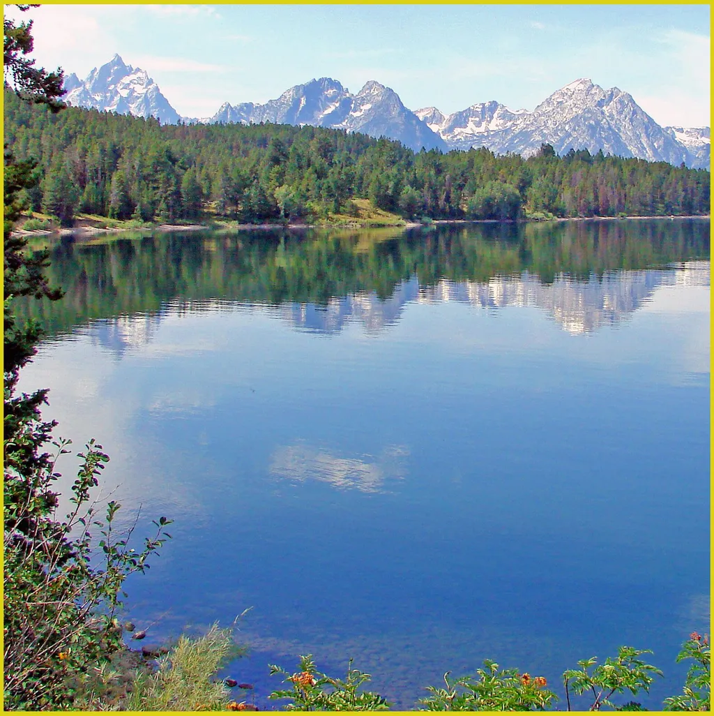
Arizona Island Picnic Area
~6 min drive
<p>Arizona Island picnic area consists of just a few tables in a meadow with mature forests surrounding. Have a snack and enjoy the view when traveling to or from Yellowstone National Park.</p> <h3>Name Origin</h3> <p>Once a peninsula, it became an island when Jackson Lake was…
West Pilgrim
~8 min drive
13 mi · Hard
Grand Teton North Boundary Turnout
~6 min drive
<p>The top of Huckleberry Hill marks the boundary between Grand Teton National Park and the John D. Rockefeller, Jr. Memorial Parkway. The US Forest Service transferred the parkway land to the National Park Service in 1972 in honor of Rockefeller's many contributions. Today Gr…
Hermitage Point Trailhead
~14 min drive
<p><b>Location:</b> Access the Hermitage Point Trailhead from Colter Bay Village. Continue ten miles northwest on the main highway from Moran Junction, and turn southwest at the Colter Bay Junction. The trailhead is at the southeast end of the parking lot next to the marina, a…
Local operatorsoffering guided trips. You book directly with them — Roamze doesn’t take a cut.
The Virginian RV Park
Hiking business nearby (~39 mi away) — hasn't claimed their Roamze page yet