2H1 Campsite Spur Trail
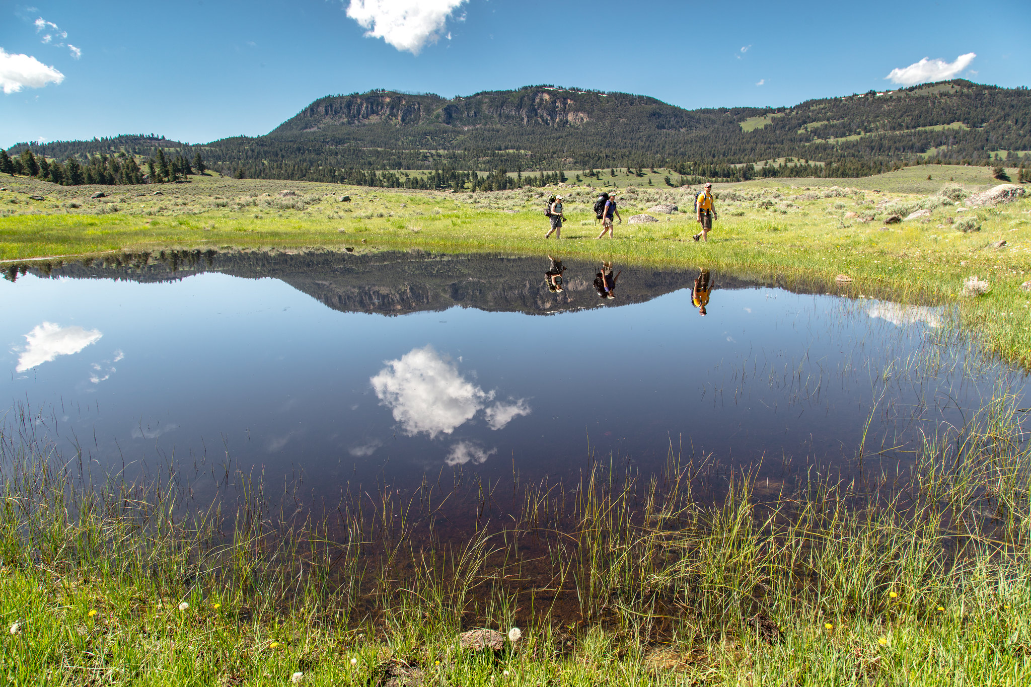
 Photo: inkknife_2000 (7.5 million views +), CC BY-SA 2.0 (via Wikimedia Commons)
- 1.1 mi
- round trip
- 232 ft
- climb
- 5,867 ft
- high point
- Out and back
- route
- Jul–Sep
- best months
Is 2H1 Campsite Spur Trail open right now?
Closure in the area
There's a closure order in Yellowstone National Park. It doesn't name 2H1 Campsite Spur Trail, so check the source for the area it covers (2 listed).
Most Park Roads Closed to All Vehicles
Park closure covering Yellowstone National Park · NPS · Yellowstone National Park
Biscuit Basin Closed Due to Hydrothermal Explosion
Park closure covering Yellowstone National Park · NPS · Yellowstone National Park
As of · Source: NPS · Yellowstone National Park. Agencies don't list every closure — check before you go.
The 2H1 Campsite Spur Trail is a short, easy out-and-back hike in Yellowstone National Park in Wyoming, managed by the National Park Service. The route is about 2.2 miles long, with a total elevation gain of 232 feet, and it starts and ends near 5,860 feet, making it a low-effort outing for anyone already in the area. Summer is the most comfortable time to go. Typical July and August highs reach about 78°F with lows in the low 40s, based on averages from a nearby weather station at Tower Falls. Winters are severe, with January highs around 26°F and frequent snow days. The trail sits among a cluster of other routes. Campsite 2H3 boulders is just 0.1 mile away, and the 2H4 Campsite Spur Trail and Hellroaring Creek Trail are each about 0.3 mile off. The Garnet Hill Loop Trail lies roughly 1.4 miles away.
- Campsite 2H3 bouldersRock climbing0.1 mi
- 2H4 Campsite Spur TrailHiking0.2 mi
- Hellroaring Stock Cutoff TrailHiking0.3 mi
- Hellroaring Creek TrailHiking0.3 mi
- 2H2 Campsite Spur TrailHiking0.8 mi
- Garnet Hill Loop TrailHiking1.4 mi
 Hellroaring Trailhead (2K8)HikingPhoto: NPS / public domain1.7 mi
- 2H8 Campsite Spur TrailHiking2 mi
Source: Roamze catalog (indexable pages within 10 miles, PostGIS distance)
- Hellroaring Trailhead (2K8)Hiking · ~3 min drive
- Garnet Hill Loop Trailhead (2K2)Hiking · ~7 min drive
- Coyote Creek Trailhead (2N1)Hiking · ~8 min drive
- Hellroaring Creek TrailHiking · Next door
- PoacherHiking · ~9 min drive
- Lost Lake LoopHiking · ~8 min drive
 Yellowstone River Overlook TrailHiking · ~11 min drivePhoto: Greg Willis from Denver, CO, usa, CC BY-SA 2.0 (via Wikimedia Commons)
- Lamar Valley - Evidence of GlaciersHiking · ~9 min drive
- Coyote Creek TrailHiking · ~4 min drive
- Forces of the Northern Range Self-guided TrailHiking · ~9 min drive
Also worth it near here
- Campsite 2H3 bouldersRock climbing · Next door
- Lost LakeLake fishing · ~8 min drive
 Tower FallWaterfall · ~11 min drivePhoto: Daniel Mayer, CC BY-SA 3.0 (via Wikimedia Commons)
 Slough Creek CampgroundCamping · ~13 min drivePhoto: Yellowstone National Park from Yellowstone NP, USA, Public domain (via Wikimedia Commons)
Best time to visit 2H1 Campsite Spur Trail
Best months: July–September. Best months have typical highs of 55–85 °F, lows of 30 °F or warmer (32 °F where the station doesn't record snow), at most one snowy day and no more than 12 wet days.
Jan
26° / 4°
12 wet · 13 snow
Feb
31° / 6°
11 wet · 11 snow
Mar
41° / 16°
10 wet · 9 snow
Apr
49° / 24°
10 wet · 6 snow
May
59° / 31°
12 wet · 2 snow
Jun
68° / 37°
13 wet
Jul
78° / 41°
10 wet
Aug
78° / 39°
9 wet
Sep
69° / 32°
9 wet · 1 snow
Oct
53° / 23°
9 wet · 4 snow
Nov
36° / 13°
10 wet · 9 snow
Dec
26° / 5°
13 wet · 13 snow
Typical high / low (°F) and days with rain or snow, 1991–2020. Measured at Tower Falls, WY, 4.2 mi away at 6,275 ft. Source: NOAA NCEI U.S. Climate Normals 1991–2020.
