Coyote Creek Trailhead (2N1)
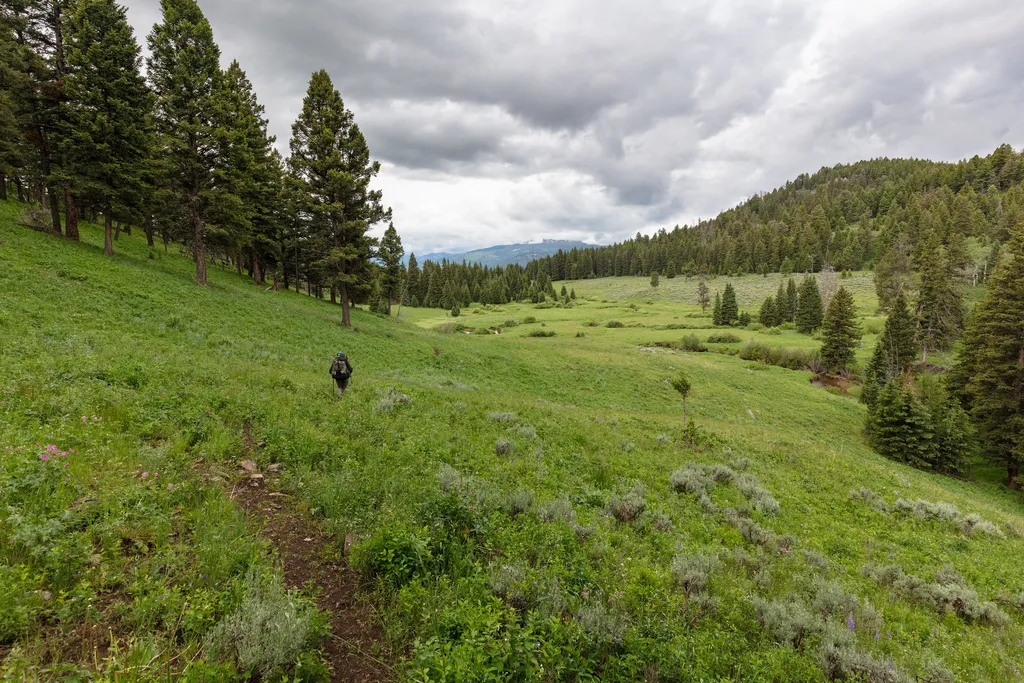 Photo: NPS / public domain
- Jul–Sep
- best months
Is Coyote Creek Trailhead (2N1) open right now?
Closure in the area
There's a closure order in Yellowstone National Park. It doesn't name Coyote Creek Trailhead (2N1), so check the source for the area it covers (2 listed).
Most Park Roads Closed to All Vehicles
Park closure covering Yellowstone National Park · NPS · Yellowstone National Park
Biscuit Basin Closed Due to Hydrothermal Explosion
Park closure covering Yellowstone National Park · NPS · Yellowstone National Park
As of · Source: NPS · Yellowstone National Park. Agencies don't list every closure — check before you go.
This is a remote trailhead at the northern boundary of the park that is not accessible by road. From this trailhead, you can embark on the following trail within the park: Coyote Creek Trail
 2H1 Campsite Spur TrailHiking · ~8 min drivePhoto: inkknife_2000 (7.5 million views +), CC BY-SA 2.0 (via Wikimedia Commons)
- Garnet Hill Loop Trailhead (2K2)Hiking · ~13 min drive
- Burned TreesHiking · ~13 min drive
- PoacherHiking · ~1 min drive
- Coyote Creek TrailHiking · ~5 min drive
- Hellroaring Trailhead (2K8)Hiking · ~10 min drive
 Telephone BasinHiking · ~13 min drivePhoto: Forest Service - Northern Region, Public Domain Mark (via Flickr)
- Buffalo Fork Trailhead (2N3)Hiking · ~9 min drive
- Horse Creek TrailHiking · ~5 min drive
- Buffalo Plateau TrailHiking · ~5 min drive
Best time to visit Coyote Creek Trailhead (2N1)
Best months: July–September. Best months have typical highs of 55–85 °F, lows of 30 °F or warmer (32 °F where the station doesn't record snow), at most one snowy day and no more than 12 wet days.
Jan
26° / 4°
12 wet · 13 snow
Feb
31° / 6°
11 wet · 11 snow
Mar
41° / 16°
10 wet · 9 snow
Apr
49° / 24°
10 wet · 6 snow
May
59° / 31°
12 wet · 2 snow
Jun
68° / 37°
13 wet
Jul
78° / 41°
10 wet
Aug
78° / 39°
9 wet
Sep
69° / 32°
9 wet · 1 snow
Oct
53° / 23°
9 wet · 4 snow
Nov
36° / 13°
10 wet · 9 snow
Dec
26° / 5°
13 wet · 13 snow
Typical high / low (°F) and days with rain or snow, 1991–2020. Measured at Tower Falls, WY, 7.8 mi away at 6,275 ft. The station sits about 1,200 ft lower than this place, so expect it a little cooler here. Source: NOAA NCEI U.S. Climate Normals 1991–2020.

