Bsc
- 5.5 mi
- round trip
- 608 ft
- climb
- 1,224 ft
- high point
- Out and back
- route
- May–Sep
- best months
Bsc is a moderate hike of about 11 miles on an out-and-back route in Douglas County Forest, Wisconsin, on county land. The trail starts at roughly 1,066 feet and reaches a high point of about 1,224 feet, with the steepest stretch at about 25% grade around the 4.1-mile mark. The climb totals about 173 feet of elevation gain one way. Summer is the most comfortable time to go. Typical averages from a nearby weather station in Gordon, WI, run from highs around 75°F in June to about 79°F in July, with lows in the mid-50s. Winters are cold, with January highs near 20°F and lows around 0°F. Bikes are allowed on the trail. The Douglas County Forest hike lies about 3.5 miles away, and the Saint Croix National Scenic River is about 4.7 miles off. Lucius Woods County Park and Solon Springs are both within about 6 miles.
- Douglas County ForestHiking3.5 mi
- 53 To 53Hiking4.5 mi
- Saint Croix National Scenic RiverHiking4.7 mi
- Lucius Woods County ParkHiking6 mi
- Solon SpringsHiking6.1 mi
- Solon Springs NorthHiking6.5 mi
 Brule River State ForestHikingPhoto: Aarongunnar, CC BY-SA 3.0 (via Wikimedia Commons)9 mi
Source: Roamze catalog (indexable pages within 10 miles, PostGIS distance)
- Brule River State ForestHiking · ~15 min drivePhoto: Aarongunnar, CC BY-SA 3.0 (via Wikimedia Commons)
 Brule River Gated RoadHiking · ~21 min drivePhoto: Aarongunnar, CC BY-SA 3.0 (via Wikimedia Commons)
- Douglas County ForestHiking · ~6 min drive
- North Country National ScenicHiking · ~44 min drive
 Waabizheshikana: the Marten TrailHiking · ~59 min drivePhoto: Sharon Mollerus, CC BY 2.0 (via Flickr)
- Bayfield County ForestHiking · ~44 min drive
- Diamond Lake HwtHiking · ~59 min drive
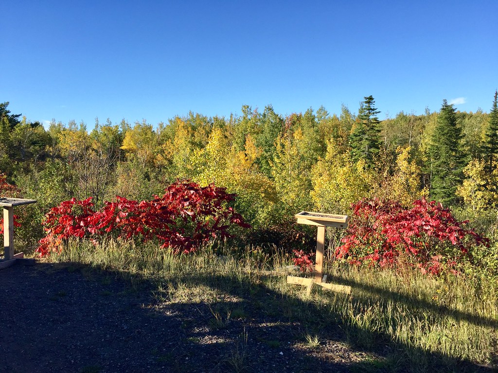 Hawk Ridge TrailsHiking · ~1h 9m drivePhoto: Minnesota Denizen, CC BY 2.0 (via Flickr)
- North Country National D-202Hiking · ~1h 7m drive
- Rock Lake BikeHiking · ~1h 1m drive
Best time to visit Bsc
Best months: May–September. Best months have typical highs of 55–85 °F, lows of 30 °F or warmer (32 °F where the station doesn't record snow), at most one snowy day and no more than 12 wet days.
Jan
20° / 0°
9 wet
Feb
26° / 3°
8 wet
Mar
38° / 16°
9 wet
Apr
52° / 29°
10 wet
May
66° / 41°
12 wet
Jun
75° / 51°
12 wet
Jul
79° / 56°
11 wet
Aug
77° / 54°
10 wet
Sep
69° / 45°
11 wet
Oct
54° / 34°
11 wet
Nov
38° / 21°
9 wet
Dec
25° / 8°
9 wet
Typical high / low (°F) and days with rain or snow, 1991–2020. Measured at Gordon, WI, 3.7 mi away at 1,040 ft. This station doesn't record snowfall. Source: NOAA NCEI U.S. Climate Normals 1991–2020.
