Douglas County Forest
- 5.1 mi
- round trip
- 292 ft
- climb
- 1,101 ft
- high point
- Out and back
- route
- May–Sep
- best months
Is Douglas County Forest open right now?
Closure in the area
There's a closure order in Saint Croix National Scenic Riverway. It doesn't name Douglas County Forest, so check the source for the area it covers.
North Parking Lot at Osceola Landing to Close for Bridge Construction
Park closure covering Saint Croix National Scenic Riverway · NPS · Saint Croix National Scenic Riverway
As of · Source: NPS · Saint Croix National Scenic Riverway. Agencies don't list every closure — check before you go.
Douglas County Forest is a 10.2-mile out-and-back hike on National Park Service land within the Saint Croix National Scenic Riverway in Wisconsin. The route starts and ends at about 1,015 feet, with a high point of 1,101 feet and a total elevation gain of about 50 feet. The most comfortable months for a visit are typically July and August, when a nearby weather station in Gordon records typical averages of 79°F highs and 56°F lows in July and 77°F highs and 54°F lows in August. Winters there are cold, with January highs averaging around 20°F. Bikes are allowed on the trail, and there is no fee to use it. The steepest stretch comes at about 2.9 miles, where the grade reaches 8 percent. The Saint Croix National Scenic River lies about 1.2 miles away, and the Bsc hike is about 3.5 miles off. Within roughly 9 miles are Lucius Woods County Park and Solon Springs.
Best time to go · May–Sep
Best time to visit Douglas County Forest
Best months: May–September. Best months have typical highs of 55–85 °F, lows of 30 °F or warmer (32 °F where the station doesn't record snow), at most one snowy day and no more than 12 wet days.
Jan
20° / 0°
9 wet
Feb
26° / 3°
8 wet
Mar
38° / 16°
9 wet
Apr
52° / 29°
10 wet
May
66° / 41°
12 wet
Jun
75° / 51°
12 wet
Jul
79° / 56°
11 wet
Aug
77° / 54°
10 wet
Sep
69° / 45°
11 wet
Oct
54° / 34°
11 wet
Nov
38° / 21°
9 wet
Dec
25° / 8°
9 wet
Typical high / low (°F) and days with rain or snow, 1991–2020. Measured at Gordon, WI, 6.5 mi away at 1,040 ft. This station doesn't record snowfall. Source: NOAA NCEI U.S. Climate Normals 1991–2020.
Keep exploring — more trails worth the drive
 Photo: Aarongunnar, CC BY-SA 3.0 (via Wikimedia Commons)
Brule River State Forest
~20 min drive
20.64-mile out-and-back trail in Brule River State Forest, Wisconsin
 Photo: Aarongunnar, CC BY-SA 3.0 (via Wikimedia Commons)
Brule River Gated Road
~26 min drive
1.85-mile out-and-back trail on Brule River Gated Road in Wisconsin
HIKE
Bsc
~6 min drive
5.51-mile out-and-back Wisconsin trail through woodland terrain.
HIKE
North Country National Scenic
~50 min drive
14.93-mile out-and-back trail in Wisconsin with 774 ft gain
 Photo: Sharon Mollerus, CC BY 2.0 (via Flickr)
Waabizheshikana: the Marten Trail
~59 min drive
2.38-mile out-and-back hike in Minnesota with 375 ft gain and 426 ft loss.
HIKE
Bayfield County Forest
~50 min drive
A 6.11-mile out-and-back forest trail through Bayfield County's woodlands.
HIKE
North Country National Scenic
~1h 4m drive
27.42-mile point-to-point trail in Wisconsin with 1,698 ft elevation gain.
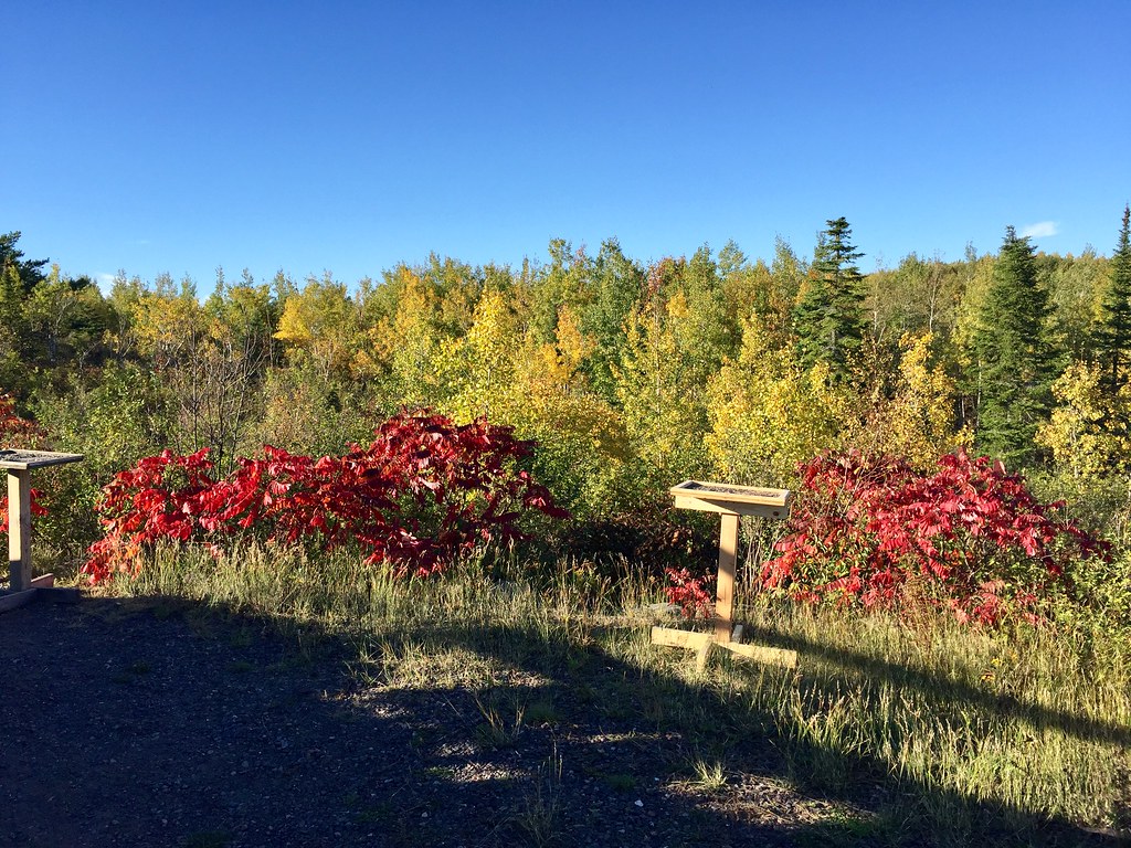 Photo: Minnesota Denizen, CC BY 2.0 (via Flickr)
Hawk Ridge Trails
~1h 10m drive
Point-to-point ridge trail with scenic vistas and wildlife viewing opportunities.
HIKE
Iat - Grassy Lake Segment
~1h 12m drive
8.31-mile point-to-point trail in Wisconsin with 587 ft gain.
HIKE
Diamond Lake Hwt
~1h 4m drive
Moderate 8.5-mile out-and-back Wisconsin trail with scenic natural features.
