53 To 53
- 0.8 mi
- round trip
- 226 ft
- climb
- 1,127 ft
- high point
- Out and back
- route
- May–Oct
- best months
"53 To 53" is a short, easy out-and-back hike in northern Wisconsin, about 1.7 miles from the town of Solon Springs. The route is roughly 1.5 miles long, with a total elevation gain of 226 feet, and it reaches a high point of 1,127 feet. The climb is gentle, with the steepest stretch at about 0.1 mile in, and the trail is rated easy. Bikes are allowed, so the hike works for both hikers and riders. The trip takes about half an hour, making it a quick stop for anyone passing through the area. Summer is the most comfortable time to go. Typical averages from a nearby weather station in Solon Springs show July highs around 81°F with lows near 58°F, while winter highs stay in the 20s. Lucius Woods County Park is about 1.6 miles away, and Solon Springs North is about 2.2 miles away. Brule River State Forest and the Bois Brule River fishing spot are both within about 6.4 miles.
- Lucius Woods County ParkHiking1.6 mi
- Solon SpringsHiking1.7 mi
- Solon Springs NorthHiking2.2 mi
- BscHiking4.5 mi
 Brule River State ForestHikingPhoto: Aarongunnar, CC BY-SA 3.0 (via Wikimedia Commons)4.5 mi
- Bois Brule RiverRiver fishing6.4 mi
- Douglas County ForestHiking7.4 mi
 Brule River Gated RoadHikingPhoto: Aarongunnar, CC BY-SA 3.0 (via Wikimedia Commons)7.6 mi
Source: Roamze catalog (indexable pages within 10 miles, PostGIS distance)
- Brule River State ForestHiking · ~8 min drivePhoto: Aarongunnar, CC BY-SA 3.0 (via Wikimedia Commons)
- Brule River Gated RoadHiking · ~13 min drivePhoto: Aarongunnar, CC BY-SA 3.0 (via Wikimedia Commons)
- BscHiking · ~8 min drive
- North Country National ScenicHiking · ~37 min drive
 Waabizheshikana: the Marten TrailHiking · ~56 min drivePhoto: Sharon Mollerus, CC BY 2.0 (via Flickr)
- Douglas County ForestHiking · ~13 min drive
- Diamond Lake HwtHiking · ~55 min drive
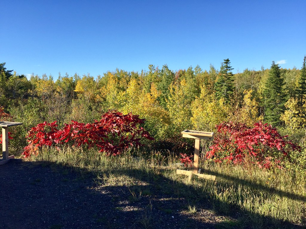 Hawk Ridge TrailsHiking · ~1h 4m drivePhoto: Minnesota Denizen, CC BY 2.0 (via Flickr)
- Bayfield County ForestHiking · ~37 min drive
- Rock Lake BikeHiking · ~58 min drive
Best time to visit 53 To 53
Best months: May–October. Best months have typical highs of 55–85 °F, lows of 30 °F or warmer (32 °F where the station doesn't record snow), at most one snowy day and no more than 12 wet days.
Jan
21° / 3°
Feb
27° / 6°
Mar
39° / 18°
Apr
53° / 30°
May
67° / 43°
Jun
77° / 52°
Jul
81° / 58°
Aug
80° / 56°
Sep
70° / 47°
Oct
56° / 36°
Nov
39° / 24°
Dec
26° / 11°
Typical high / low (°F) and days with rain or snow, 1991–2020. Measured at Solon Springs, WI, 2.1 mi away at 1,130 ft. This station doesn't record snowfall. Source: NOAA NCEI U.S. Climate Normals 1991–2020.
