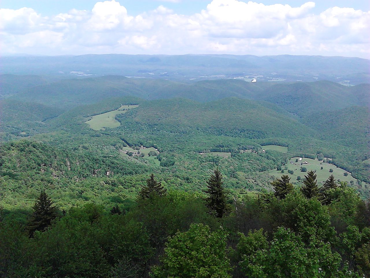
Mower Basin Dispersed
- Apr–Oct
- best months
Is Mower Basin Dispersed open right now?
Closure in the area
There's a closure order in Monongahela National Forest. It doesn't name Mower Basin Dispersed, so check the source for the area it covers.
NFS Road 76 Road Closure for Public Health and Safety
Agency closure covering Monongahela National Forest · USFS · Monongahela National Forest
National Forest System Road 86 Closure for Public Health and Safety
Agency alert covering Monongahela National Forest · USFS · Monongahela National Forest
As of · Source: USFS · Monongahela National Forest. Agencies don't list every closure — check before you go.
- At 4,185 ft
- Greenbrier Ranger DistrictMonongahela National Forest
MOWER BASIN DISPERSED (Camping Area)
- Stonecoal RidgeHiking3.7 mi
- Gaudineer Old Growth TrailHiking5 mi
- Whitmeadow RidgeHiking5.5 mi
- North South TrailHiking5.5 mi
- Shavers Fork TrailHiking5.7 mi
- East Fork Campground & Horse HotelCamping7.9 mi
- Tygart Valley RiverCanoeing9.2 mi
- Burner MountainSummit9.9 mi
Source: Roamze catalog (indexable pages within 10 miles, PostGIS distance)
- Stuart Recreation AreaCamping · ~38 min drive
- Middle Mountain CabinsHut camping · ~20 min drive
- Stonecoal Dispersed CampingCamping · ~5 min drive
- Stone Coal Camping AreaCamping · ~5 min drive
- Johns Camp ShelterCamping · ~12 min drive
- Kumbrabow State Forest CampgroundCamping · ~13 min drive
- East Fork Campground & Horse HotelCamping · ~14 min drive
- Little River Camping AreaCamping · ~20 min drive
- Wildell ShelterCamping · ~21 min drive
- Island CampgroundCamping · ~22 min drive
Best time to visit Mower Basin Dispersed
Best months: April–October. Best months have typical highs of 55–85 °F, lows of 30 °F or warmer (32 °F where the station doesn't record snow), at most one snowy day and no more than 12 wet days.
Jan
34° / 16°
Feb
39° / 21°
Mar
45° / 23°
Apr
57° / 34°
May
66° / 44°
Jun
72° / 51°
Jul
75° / 56°
Aug
74° / 54°
Sep
69° / 48°
Oct
60° / 37°
Nov
49° / 27°
Dec
38° / 21°
Typical high / low (°F) and days with rain or snow, 1991–2020. Measured at Kumbrabow, WV, 8.2 mi away at 3,235 ft. The station sits about 1,000 ft lower than this place, so expect it a little cooler here. This station doesn't record snowfall. Source: NOAA NCEI U.S. Climate Normals 1991–2020.