Burner Mountain
- 4,293 ft
- summit
- 1
- way up
- Sep–Oct
- best months
Is Burner Mountain open right now?
Closure in the area
There's a closure order in Monongahela National Forest. It doesn't name Burner Mountain, so check the source for the area it covers.
NFS Road 76 Road Closure for Public Health and Safety
Agency closure covering Monongahela National Forest · USFS · Monongahela National Forest
National Forest System Road 86 Closure for Public Health and Safety
Agency alert covering Monongahela National Forest · USFS · Monongahela National Forest
As of · Source: USFS · Monongahela National Forest. Agencies don't list every closure — check before you go.
Burner Mountain is a summit of 4,293 feet in the Greenbrier Ranger District of Monongahela National Forest in West Virginia, about 3.6 miles from the town of Bartow. Summer is the most comfortable time to go. Typical averages from a nearby weather station in Bartow show July highs around 77°F with lows near 56°F, and September is the driest month, with about 10 wet days. That station sits roughly 1,268 feet below the summit, so temperatures on top run cooler. Several other destinations lie within a few miles. Rothkugel and Smoke Camp are both hikes about 2.4 miles away, and Middle Mountain Road Fs 14 Dispersed and Island Campground offer camping within about 3 miles.
Conditions and forecast
Daily highs and lows, wind and the chance of precipitation at the summit and route start for the next 7 days, from the Open-Meteo model.
- Summit elevation
- 4,293 ft
Elevation from USGS 3D Elevation Program terrain data (about 10 m resolution).
Map © Mapbox © OpenStreetMap contributors Questions about Burner Mountain
How tall is Burner Mountain?
4,293 ft (1,309 m).
How many routes go to the summit of Burner Mountain?
One: Burner Mountain.
When is the best time to climb Burner Mountain?
Year-round.
- Lynn Knob3,994 ft · West Virginia1 route5.8 mi away
- Thomas Mountain3,380 ft · West Virginia1 route19 mi away
- Thorny Creek Mountain3,438 ft · West Virginia3 routes22 mi away
- Michael Mountain3,698 ft · West Virginia1 route22 mi away
- McGowan Mountain3,899 ft · West Virginia1 route27 mi away
- Haystack Knob4,536 ft · West Virginia1 route28 mi away
- RothkugelHiking2.4 mi
- Smoke CampHiking2.4 mi
- Middle Mountain Road Fs 14 DispersedCamping2.6 mi
- Island CampgroundCamping2.9 mi
- Span OakHiking3.3 mi
- Widney Park Rail-TrailHiking4.2 mi
- East Fork Campground & Horse HotelCamping4.8 mi
- Middle Mountain CabinsCamping6.9 mi
Source: Roamze catalog (indexable pages within 10 miles, PostGIS distance)
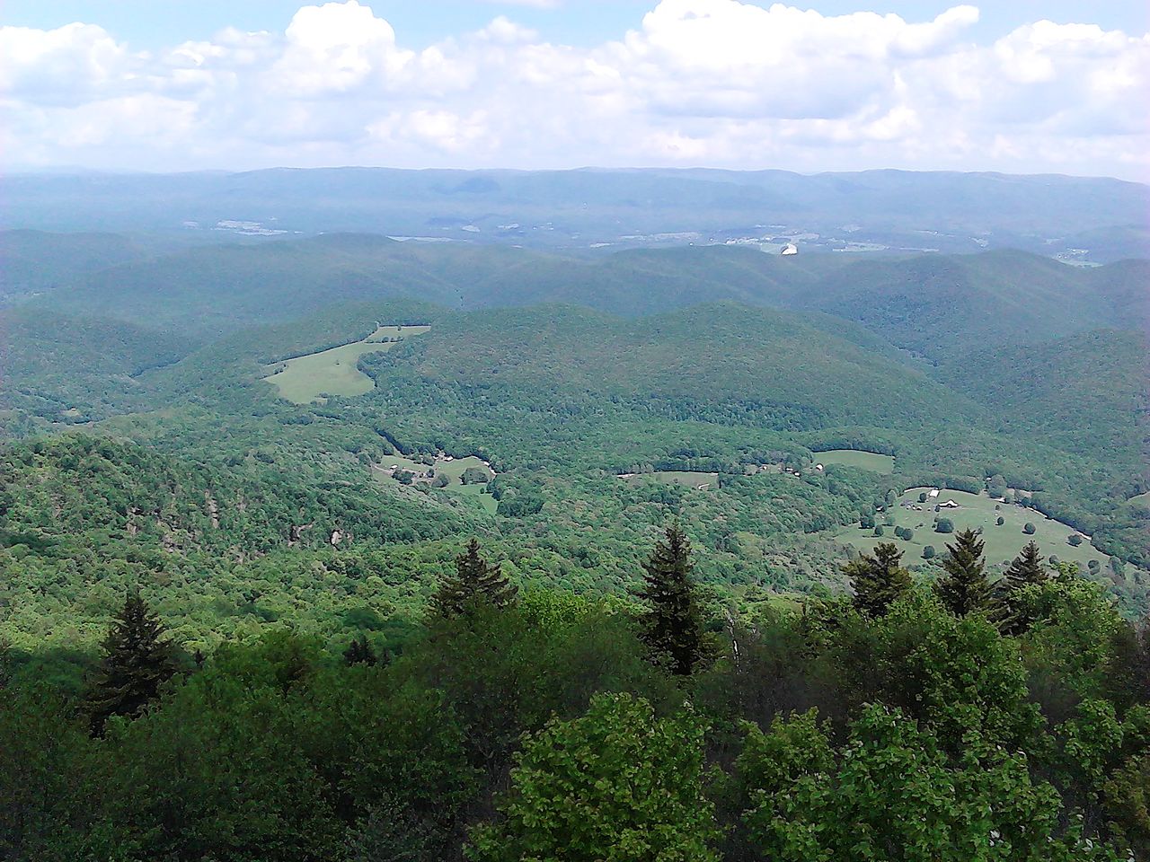 Bald KnobSummit · ~23 min drivePhoto: User:Scochran4, CC BY-SA 3.0 (via Wikimedia Commons)
 Spruce KnobSummit · ~25 min drivePhoto: Original uploader was Black and White at en.wikipedia, CC BY-SA 3.0 (via Wikimedia Commons)
 Bickle KnobSummit · ~41 min drivePhoto: Brian M. Powell (user Bitmapped on en.wikipedia), CC BY-SA 3.0 (via Wikimedia Commons)
 Elliott KnobSummit · ~1h 5m drivePhoto: MONGO, CC BY-SA 3.0 (via Wikimedia Commons)
- Lynn KnobSummit · ~10 min drive
- Thomas MountainSummit · ~32 min drive
- Thorny Creek MountainSummit · ~37 min drive
- McGowan MountainSummit · ~47 min drive
- Haystack KnobSummit · ~48 min drive
- Tea Creek MountainSummit · ~48 min drive
Best time to visit Burner Mountain
Best months: September–October. Best months have typical highs of 55–85 °F, lows of 30 °F or warmer (32 °F where the station doesn't record snow), at most one snowy day and no more than 12 wet days.
Jan
35° / 17°
16 wet
Feb
39° / 19°
14 wet
Mar
47° / 26°
15 wet
Apr
60° / 35°
15 wet
May
68° / 45°
16 wet
Jun
74° / 53°
13 wet
Jul
77° / 56°
13 wet
Aug
76° / 55°
13 wet
Sep
71° / 48°
10 wet
Oct
61° / 37°
11 wet
Nov
49° / 28°
12 wet
Dec
39° / 22°
15 wet
Typical high / low (°F) and days with rain or snow, 1991–2020. Measured at Bartow 1s, WV, 4 mi away at 3,025 ft. The station sits about 1,300 ft lower than this place, so expect it a little cooler here. This station doesn't record snowfall. Source: NOAA NCEI U.S. Climate Normals 1991–2020.
