Squak Mountain
 Photo: Peter Stevens from Seattle, CC BY 2.0 (via Wikimedia Commons)
- 2,030 ft
- summit
- 4
- ways up
- County Land
- managed by
- Jul–Sep
- best months
Squak Mountain is a summit in Washington, rising to 2,030 feet on county land about 2.8 miles from Issaquah. It sits within the Lp702 land unit, and the C1 - Central Peak Trail and Summit Trail both start within a tenth of a mile of the top, making it an easy anchor for a short outing in the area. Summer is the most comfortable time to go. Typical averages from the Cedar Lake weather station, about 15 miles away, show July and August highs near 70°F with only eight or nine wet days a month, while winter brings highs in the upper 30s and regular snow days from December through March. Several trails lie close by. The Old Griz Trail and East Ridge Trail are each about 0.3 miles away, and Issaquah Creek, a canoeing spot, is under a mile off.
Conditions and forecast
Daily highs and lows, wind and the chance of precipitation at the summit and route start for the next 7 days, from the Open-Meteo model.
- Summit elevation
- 2,030 ft
- Land manager
- County Land
Elevation from USGS 3D Elevation Program terrain data (about 10 m resolution).
- Old Griz TrailEasyabout 458 ft of climbing0.9 mi round trip
- C1 - Central Peak TrailModerateabout 1,073 ft of climbing1.7 mi round trip
- Summit TrailEasyabout 756 ft of climbing0.6 mi round trip
- Bullitt Fireplace TrailModerateabout 1,754 ft of climbing4.0 mi round trip
Compare the routes Old Griz Trail C1 - Central Peak Trail Summit Trail Bullitt Fireplace Trail Climbing About 458 ft About 1,073 ft About 756 ft About 1,754 ft Round trip 0.9 mi 1.7 mi 0.6 mi 4.0 mi Difficulty Easy Moderate Easy Moderate Terrain Hike Hike Hike Hike Map © Mapbox © OpenStreetMap contributors Questions about Squak Mountain
How tall is Squak Mountain?
2,030 ft (619 m).
How many routes go to the summit of Squak Mountain?
4: Old Griz Trail, C1 - Central Peak Trail, Summit Trail and Bullitt Fireplace Trail.
What is the shortest route up Squak Mountain?
Summit Trail, about 0.6 mi round trip.
- West Tiger Mountain2,944 ft · Washington2 routes3.4 mi away
- Cougar Mountain1,488 ft · Washington3 routes3.5 mi away
- Newcastle Hills1,111 ft · Washington2 routes4.5 mi away
 Tiger Mountain3,008 ft · Washington1 route4.8 mi awayPhoto: brewbooks from near Seattle, USA, CC BY-SA 2.0 (via Wikimedia Commons)
- South Tiger Mountain2,049 ft · Washington1 route5.0 mi away
- Tolt Hill541 ft · Washington2 routes11 mi away
- C1 - Central Peak TrailHiking0.1 mi
- Summit TrailHiking0.1 mi
- Old Griz TrailHiking0.3 mi
- East Ridge TrailHiking0.3 mi
 Issaquah CreekCanoeingPhoto: jimapics, CC BY-SA 2.0 (via Wikimedia Commons)0.9 mi
- Patterson CreekCanoeing8 mi
 Raging RiverCanoeingPhoto: Steven Pavlov, CC BY-SA 4.0 (via Wikimedia Commons)8 mi
 Snoqualmie RiverCanoeingPhoto: Steven Pavlov, CC BY-SA 4.0 (via Wikimedia Commons)8.5 mi
Source: Roamze catalog (indexable pages within 10 miles, PostGIS distance)
- Tiger MountainSummit · ~8 min drivePhoto: brewbooks from near Seattle, USA, CC BY-SA 2.0 (via Wikimedia Commons)
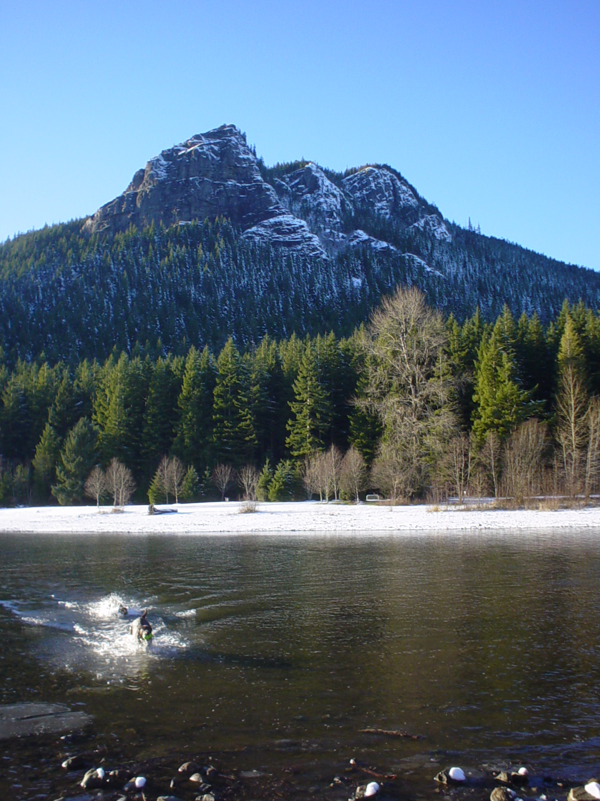 Rattlesnake MountainSummit · ~21 min drivePhoto: No machine-readable author provided. Kgrr assumed (based on copyright claims)., CC BY 2.5 (via Wikimedia Commons)
 Little SiSummit · ~23 min drivePhoto: No machine-readable author provided. Kgrr assumed (based on copyright claims)., CC BY 2.5 (via Wikimedia Commons)
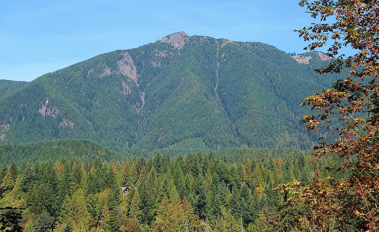 Mount TeneriffeSummit · ~28 min drivePhoto: Ron Clausen, CC BY-SA 4.0 (via Wikimedia Commons)
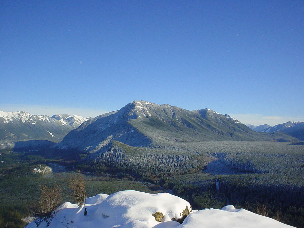 Mount WashingtonSummit · ~29 min drivePhoto: Konrad Roeder (CC) 2006, CC BY 2.5 (via Wikimedia Commons)
 Russian ButteSummit · ~37 min drivePhoto: Ron Clausen, CC BY 4.0 (via Wikimedia Commons)
 Pinnacle PeakSummit · ~40 min drivePhoto: Ron Clausen, CC BY-SA 4.0 (via Wikimedia Commons)
 Mount DefianceSummit · ~40 min drivePhoto: J Brew, CC BY-SA 2.0 (via Wikimedia Commons)
 Bandera MountainSummit · ~42 min drivePhoto: Mblumer10, Public domain (via Wikimedia Commons)
 Preacher MountainSummit · ~42 min drivePhoto: Buidhe, CC BY-SA 4.0 (via Wikimedia Commons)
Best time to visit Squak Mountain
Best months: July–September. Best months have typical highs of 55–85 °F, lows of 30 °F or warmer (32 °F where the station doesn't record snow), at most one snowy day and no more than 12 wet days.
Jan
39° / 32°
19 wet · 5 snow
Feb
42° / 32°
17 wet · 4 snow
Mar
46° / 33°
20 wet · 4 snow
Apr
51° / 36°
19 wet · 1 snow
May
59° / 42°
17 wet
Jun
63° / 46°
15 wet
Jul
70° / 51°
9 wet
Aug
71° / 52°
8 wet
Sep
64° / 47°
12 wet
Oct
54° / 41°
17 wet
Nov
44° / 36°
20 wet · 2 snow
Dec
39° / 31°
20 wet · 5 snow
Typical high / low (°F) and days with rain or snow, 1991–2020. Measured at Cedar Lake, WA, 15 mi away at 1,560 ft. Source: NOAA NCEI U.S. Climate Normals 1991–2020.

