Valley Camp Retreat Center
Campground
Campground · 3.0 mi from the trail
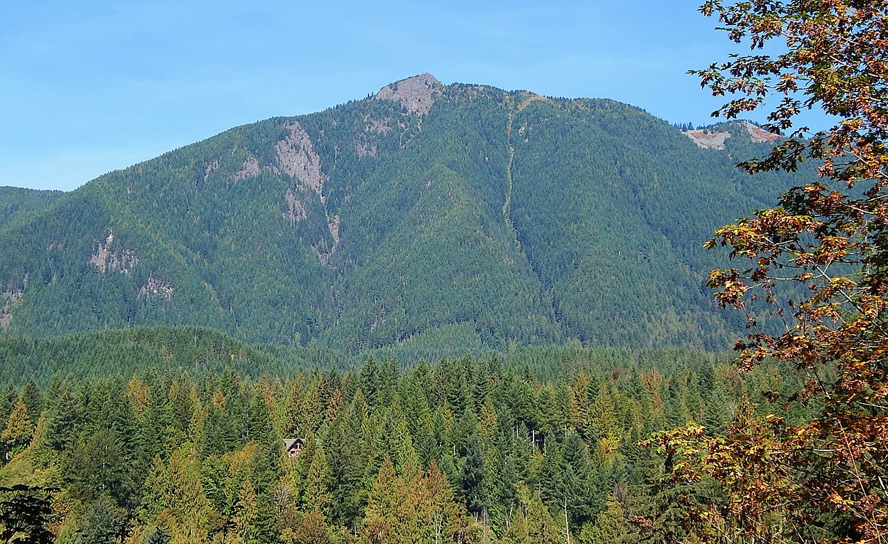 Photo: Ron Clausen, CC BY-SA 4.0 (via Wikimedia Commons)
Mount Teneriffe is a summit of about 4,787 feet in King County, Washington, within the Mount Si Natural Resources Conservation Area. The State Department of Natural Resources manages the land, and the nearest town is Riverpoint, about 2 miles away. Summer is the most comfortable time to visit. Typical averages from the Stampede Pass weather station, about 23 miles away, show July and August highs near 68 to 69°F with only seven or eight wet days a month, while winter months bring highs around freezing and rain on most days. The Kamikaze Trail starts less than a mile away, and the Teneriffe Falls Trail is about a mile off. Climbers can head to Exit 32 / Little Si, roughly 3 miles away, and paddlers will find Hancock Creek about 4 miles out.
Valley Camp Retreat Center
Campground
South Fork North Bend
Restaurant
 If it rainsShakespeare at English Wikipedia, CC BY-SA 3.0 · Wikimedia Commons
Railway station in Snoqualmie, the United States of America
Places © OpenStreetMap contributors · Photos: Shakespeare at English Wikipedia, CC BY-SA 3.0 (commons)
More in Gold BarDaily highs and lows, wind and the chance of precipitation at the summit and route start for the next 7 days, from the Open-Meteo model.
Elevation from USGS 3D Elevation Program terrain data (about 10 m resolution).
| Kamikaze Trail | Mount Teneriffe Trail | |
|---|---|---|
| Climbing | About 2,150 ft | About 4,886 ft |
| Round trip | 1.8 mi | 10.0 mi |
| Difficulty | Hard | Expert |
| Terrain | Scramble | Hike |
4,787 ft (1,459 m).
2: Kamikaze Trail and Mount Teneriffe Trail.
Kamikaze Trail, about 1.8 mi round trip.

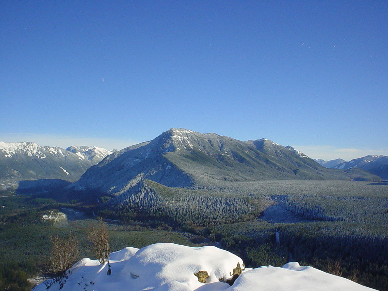
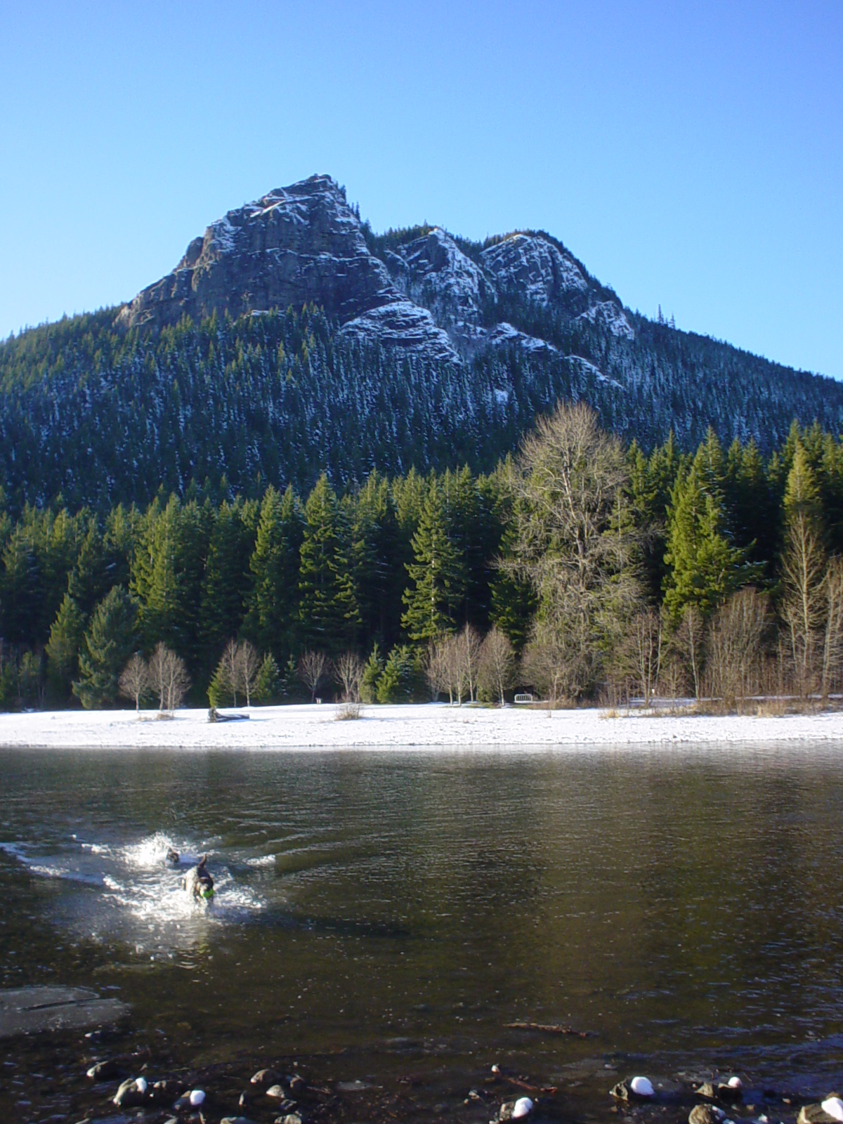

 World WallRock climbingPhoto: brewbooks from near Seattle, USA, CC BY-SA 2.0 (via Wikimedia Commons)2.9 mi
 Middle Fork CampgroundCampingPhoto: Recreation.gov (RIDB) / public domain7.7 mi
 Tinkham CampgroundCampingPhoto: Recreation.gov (RIDB) / public domain9.5 mi
Source: Roamze catalog (indexable pages within 10 miles, PostGIS distance)
Little SiSummit · ~5 min drivePhoto: No machine-readable author provided. Kgrr assumed (based on copyright claims)., CC BY 2.5 (via Wikimedia Commons) Russian ButteSummit · ~9 min drivePhoto: Ron Clausen, CC BY 4.0 (via Wikimedia Commons)Mount WashingtonSummit · ~10 min drivePhoto: Konrad Roeder (CC) 2006, CC BY 2.5 (via Wikimedia Commons)Rattlesnake MountainSummit · ~11 min drivePhoto: No machine-readable author provided. Kgrr assumed (based on copyright claims)., CC BY 2.5 (via Wikimedia Commons)McClellan ButteSummit · ~13 min drivePhoto: Peter Stevens, CC BY 2.0 (via Wikimedia Commons)
 Mount DefianceSummit · ~14 min drivePhoto: J Brew, CC BY-SA 2.0 (via Wikimedia Commons)
 Bandera MountainSummit · ~17 min drivePhoto: Mblumer10, Public domain (via Wikimedia Commons)
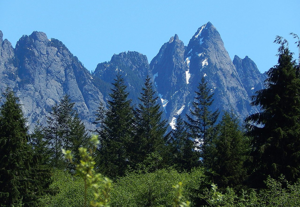 Garfield MountainSummit · ~17 min drivePhoto: Ron Clausen, CC BY-SA 4.0 (via Wikimedia Commons)
 Kaleetan PeakSummit · ~18 min drivePhoto: Jeffrey Pang from Berkeley, CA, USA, CC BY 2.0 (via Wikimedia Commons)
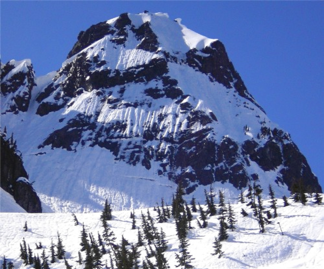 Chair PeakSummit · ~19 min drivePhoto: Ron Clausen, CC BY-SA 4.0 (via Wikimedia Commons)
Also worth it near here
 Teneriffe Falls Connector TrailHiking · ~2 min drivePhoto: Krystof Hoder, CC BY 3.0 (via Wikimedia Commons)World WallRock climbing · ~5 min drivePhoto: brewbooks from near Seattle, USA, CC BY-SA 2.0 (via Wikimedia Commons)
Best months: July–September. Best months have typical highs of 55–85 °F, lows of 30 °F or warmer (32 °F where the station doesn't record snow), at most one snowy day and no more than 12 wet days.
Jan
32° / 25°
20 wet
Feb
35° / 26°
17 wet
Mar
40° / 29°
20 wet
Apr
46° / 33°
19 wet
May
53° / 38°
17 wet
Jun
60° / 43°
14 wet
Jul
68° / 50°
8 wet
Aug
69° / 51°
7 wet
Sep
63° / 47°
10 wet
Oct
49° / 38°
16 wet
Nov
38° / 30°
19 wet
Dec
32° / 24°
20 wet
Typical high / low (°F) and days with rain or snow, 1991–2020. Measured at Stampede Pass, WA, 23.2 mi away at 3,959 ft. The station sits about 800 ft lower than this place, so expect it a little cooler here. This station doesn't record snowfall. Source: NOAA NCEI U.S. Climate Normals 1991–2020.
