Clear Creek Campground
Campground
Campground · 2.3 mi from the trail
Closure in the area
There's a closure order in Darrington Ranger District. It doesn't name Asbestos Falls, so check the source for the area it covers (4 listed).
Miners Fire Closure
Agency closure covering Darrington Ranger District · Order 06-05-26-17 · USFS · Darrington Ranger District
Miner’s Fire Closure Order
Agency closure covering Darrington Ranger District · USFS · Darrington Ranger District
Grand Park 2 Fire Closure Update
Agency closure covering Mt. Baker-Snoqualmie National Forest · Order 06-05-26-16 · USFS · Mt. Baker-Snoqualmie National Forest
Bell Creek Bridge Damaged
Agency closure covering Mt. Baker-Snoqualmie National Forest · USFS · Mt. Baker-Snoqualmie National Forest
Rescission of Shooting Restrictions
Agency alert covering Mt. Baker-Snoqualmie National Forest · USFS · Mt. Baker-Snoqualmie National Forest
As of · Source: USFS · Darrington Ranger District. Agencies don't list every closure — check before you go.
Asbestos Falls is a waterfall in Washington's Mt. Baker-Snoqualmie National Forest, within the Darrington Ranger District and managed by the Forest Service. It sits about 5 miles from the town of Darrington at an elevation of roughly 1,200 feet. Summer is the mildest time to visit. A nearby weather station in Darrington records typical July and August highs in the upper 70s and lows around 50 to 54 degrees, while winter highs stay near 40 degrees with lows around freezing. Frog Lake Trail is the closest neighbor, about 1.5 miles away. Clear Creek offers canoeing about 2 miles off, and Clear Creek Campground sits about 2.3 miles away. Paddlers can also head to the Sauk River, about 2.4 miles from the falls.
Clear Creek Campground
Campground
Skyriver Pub & Eatery
Restaurant
Upper Olney Falls View
Viewpoint
Places © OpenStreetMap contributors
More in Gold BarElevation from USGS 3D Elevation Program terrain data (about 10 m resolution).
 Frog Lake TrailHikingPhoto: Leslie Seaton from Seattle, WA, USA, CC BY 2.0 (via Wikimedia Commons)1.5 mi
 OLD SAUK TRAILHikingPhoto: Leslie Seaton from Seattle, WA, USA, CC BY 2.0 (via Wikimedia Commons)2.1 mi
 Sauk RiverCanoeingPhoto: Drums600 at English Wikipedia, Public domain (via Wikimedia Commons)2.4 mi
 Three O'clock RockRock climbingPhoto: Wilderness trespasser, CC BY-SA 4.0 (via Wikimedia Commons)2.7 mi
Source: Roamze catalog (indexable pages within 10 miles, PostGIS distance)
 Wallace FallsWaterfall · ~38 min drivePhoto: Vineesh Devasia, CC BY 2.0 (via Wikimedia Commons)
 Sunset FallsWaterfall · ~45 min drivePhoto: Loco Steve, CC BY 3.0 (via Wikimedia Commons)
 Canyon FallsWaterfall · ~45 min drivePhoto: Lee Pickett, Public domain (via Wikimedia Commons)
 Eagle FallsWaterfall · ~47 min drivePhoto: Lee Pickett, Public domain (via Wikimedia Commons)
 Bridal Veil FallsWaterfall · ~47 min drivePhoto: Steven Pavlov, CC BY-SA 4.0 (via Wikimedia Commons)
 White River FallsWaterfall · ~57 min drivePhoto: Bobjgalindo, CC BY-SA 4.0 (via Wikimedia Commons)
 Deception FallsWaterfall · ~1h 4m drivePhoto: Jonathan Miske from United States, CC BY-SA 2.0 (via Wikimedia Commons)
 Otter FallsWaterfall · ~1h 11m drivePhoto: Nettrom, CC BY-SA 4.0 (via Wikimedia Commons)
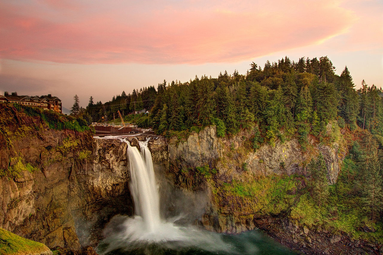 Snoqualmie FallsWaterfall · ~1h 19m drivePhoto: Meher Anand Kasam, CC BY-SA 3.0 (via Wikimedia Commons)
Also worth it near here
Frog Lake TrailHiking · ~3 min drivePhoto: Leslie Seaton from Seattle, WA, USA, CC BY 2.0 (via Wikimedia Commons)Sauk RiverCanoeing · ~4 min drivePhoto: Drums600 at English Wikipedia, Public domain (via Wikimedia Commons)Best months: April–October. Best months have typical highs of 55–85 °F, lows of 30 °F or warmer (32 °F where the station doesn't record snow), at most one snowy day and no more than 12 wet days.
Jan
40° / 30°
Feb
45° / 31°
Mar
51° / 34°
Apr
59° / 38°
May
67° / 44°
Jun
71° / 49°
Jul
78° / 53°
Aug
79° / 54°
Sep
72° / 47°
Oct
58° / 40°
Nov
46° / 35°
Dec
39° / 30°
Typical high / low (°F) and days with rain or snow, 1991–2020. Measured at Darrington Rs, WA, 5.2 mi away at 550 ft. The station sits about 600 ft lower than this place, so expect it a little cooler here. This station doesn't record snowfall. Source: NOAA NCEI U.S. Climate Normals 1991–2020.
Campfire Ban in Effect Forest-wide
Mt. Baker-Snoqualmie National Forest · Order dated July 21, 2026; seen Aug 23, 2026 → lifted Sep 15, 2026 · Forest Service
