Pro Guiding Service
Rock Climbing business nearby (~25 mi away) — hasn't claimed their Roamze page yet
The hardest alpine line catalogued at Skykomish Valley.
Closure in the area
There's a closure order in Mt. Baker-Snoqualmie National Forest. It doesn't name Vanishing Point, so check the source for the area it covers (2 listed).
Grand Park 2 Fire Closure Update
Agency closure covering Mt. Baker-Snoqualmie National Forest · Order 06-05-26-16 · USFS · Mt. Baker-Snoqualmie National Forest
Bell Creek Bridge Damaged
Agency closure covering Mt. Baker-Snoqualmie National Forest · USFS · Mt. Baker-Snoqualmie National Forest
Rescission of Shooting Restrictions
Agency alert covering Mt. Baker-Snoqualmie National Forest · USFS · Mt. Baker-Snoqualmie National Forest
Electric Fire Closure Order
Agency alert covering Mt. Baker-Snoqualmie National Forest · Order 06-05-26-19 · USFS · Mt. Baker-Snoqualmie National Forest
Mountain Goats Have Been Present on Yellow Aster Butte
Agency alert covering Mt. Baker-Snoqualmie National Forest · USFS · Mt. Baker-Snoqualmie National Forest
As of · Source: USFS · Mt. Baker-Snoqualmie National Forest. Agencies don't list every closure — check before you go.
One of the hardest alpine lines catalogued at Skykomish Valley, this Dolomite Tower route stands at the top of the grade span for the crag.
 Photo: Laurel Fan, CC BY-SA 2.0 (via Flickr)
Midnite Boulder
~11 min drive
Midnite Boulder in Washington offers 5 bouldering routes ranging from moderate to difficult.
Photo: Laurel Fan, CC BY-SA 2.0 (via Flickr)Zelda Boulders
~11 min drive
Zelda Boulders in Washington has 10 bouldering routes across 9 grades.
 Photo: Laurel Fan, CC BY-SA 2.0 (via Flickr)
The Country
~12 min drive
Country, The in Washington has 42 climbing routes across 19 difficulty grades.
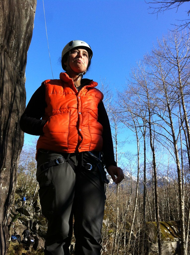 Photo: Laurel Fan, CC BY-SA 2.0 (via Flickr)
(D) Narrow Arrow and further right
~12 min drive
25 climbing routes in Washington spanning 18 difficulty grades.
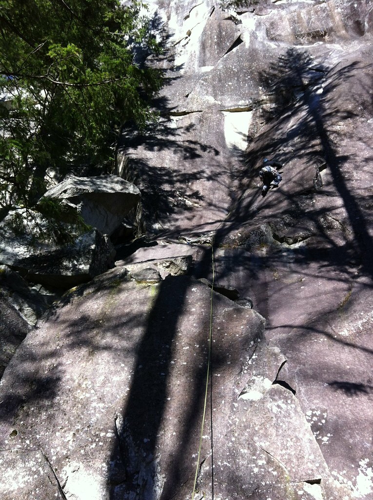 Photo: Laurel Fan, CC BY-SA 2.0 (via Flickr)
Upper Rhythm
~12 min drive
Upper Rhythm in Washington has 5 climbing routes across 4 grades, offering sport and trad options.
Photo: Laurel Fan, CC BY-SA 2.0 (via Flickr)(C) Main Wall, left side
~12 min drive
(C) Main Wall, left side is a climbing area in Washington with 47 routes.
 Photo: Laurel Fan, CC BY-SA 2.0 (via Flickr)
The Lighthouse
~12 min drive
Lighthouse, The in Washington has 7 mixed climbing routes with 7 distinct difficulty grades.
Photo: Laurel Fan, CC BY-SA 2.0 (via Flickr)Upper Wall, Lower Tier and Trail
~12 min drive
Upper Wall, Lower Tier and Trail in Washington has 23 climbing routes across 14 grades.
Photo: Laurel Fan, CC BY-SA 2.0 (via Flickr)Zelda Rails Boulder
~11 min drive
Zelda Rails Boulder is a bouldering area in Washington with 8 routes.
Photo: Laurel Fan, CC BY-SA 2.0 (via Flickr)Shady Lane West
~12 min drive
Shady Lane West in Washington has 11 routes spanning 8 grades, offering sport and trad climbing.
Also worth it near here
 Photo: Peter Stevens, CC BY 2.0 (via Wikimedia Commons)
Merchant Peak
~2 min drive
 Photo: U.S. Forest Service- Pacific Northwest Region, Public domain (via Wikimedia Commons)
Eagle Lake Fisherman's Trail
~3 min drive
Money Creek Campground
~6 min drive
 Photo: Lee Pickett, Public domain (via Wikimedia Commons)
Eagle Falls
~7 min drive
Outfitters and businesses near Index. They haven’t set up their Roamze page yet.
Pro Guiding Service
Rock Climbing business nearby (~25 mi away) — hasn't claimed their Roamze page yet
International Sherpa Guide (ISG)
Rock Climbing business nearby (~33 mi away) — hasn't claimed their Roamze page yet
Uplift Climbing
Rock Climbing business nearby (~41 mi away) — hasn't claimed their Roamze page yet
