Upper Meadow
Campground
Campground · 1.9 mi from the trail
Caution today
Agency alerts are in effect for this area; weather is good · USFS, OpenWeather · checked 9 h ago
Closure in the area
There's a closure order in Snoqualmie Ranger District. It doesn't name Rock Party Vagabond, so check the source for the area it covers (4 listed).
Gold Creek Area Closure
Agency closure covering Snoqualmie Ranger District · Order 06-17-03-26-07 · USFS · Snoqualmie Ranger District
Grand Park 2 Fire Closure Update
Agency closure covering Mt. Baker-Snoqualmie National Forest · Order 06-05-26-16 · USFS · Mt. Baker-Snoqualmie National Forest
Grand Park 2 Fire Closure
Agency closure covering Snoqualmie Ranger District · Order 06-05-26-13 · USFS · Snoqualmie Ranger District
Bell Creek Bridge Damaged
Agency closure covering Mt. Baker-Snoqualmie National Forest · USFS · Mt. Baker-Snoqualmie National Forest
Rescission of Shooting Restrictions
Agency alert covering Mt. Baker-Snoqualmie National Forest · USFS · Mt. Baker-Snoqualmie National Forest
As of · Source: USFS · Snoqualmie Ranger District. Agencies don't list every closure — check before you go.
One of nine routes catalogued at Valley View West, this climb sits in the middle of the crag's range between 5.10a and 5.12a.
Upper Meadow
Campground
South Fork North Bend
Restaurant
 If it rainsShakespeare at English Wikipedia, CC BY-SA 3.0 · Wikimedia Commons
Railway station in Snoqualmie, the United States of America
Places © OpenStreetMap contributors · Photos: Shakespeare at English Wikipedia, CC BY-SA 3.0 (commons)
More in GreenwaterNot on Roamze yet. Their page has how to reach them.
 Club Paradiso / The Actual CaveRock climbing · Next doorPhoto: bgreenlee, CC BY 2.0 (via Flickr)AmazoniaRock climbing · Next doorPhoto: bgreenlee, CC BY 2.0 (via Flickr)
 Obelisk BoulderRock climbing · ~2 min drivePhoto: bgreenlee, CC BY 2.0 (via Flickr)
 GoodFallWall BoulderRock climbing · ~2 min drivePhoto: bgreenlee, CC BY 2.0 (via Flickr)Shakespeare WallRock climbing · ~2 min drivePhoto: bgreenlee, CC BY 2.0 (via Flickr)
 Deception WallRock climbing · ~2 min drivePhoto: Sam Howzit, CC BY 2.0 (via Flickr)Mt WashingtonRock climbing · ~2 min drivePhoto: bgreenlee, CC BY 2.0 (via Flickr)We Did RockRock climbing · ~2 min drivePhoto: Sam Howzit, CC BY 2.0 (via Flickr)
 GritsconeRock climbing · ~5 min drivePhoto: bgreenlee, CC BY 2.0 (via Flickr)
 (b) MotherlandRock climbing · ~5 min drivePhoto: bgreenlee, CC BY 2.0 (via Flickr)
Also worth it near here
 Great Wall TrailHiking · Next doorPhoto: Steven Pavlov, CC BY-SA 3.0 (via Wikimedia Commons)
 Twin FallsWaterfall · ~1 min drivePhoto: KimonBerlin, CC BY-SA 2.0 (via Wikimedia Commons)
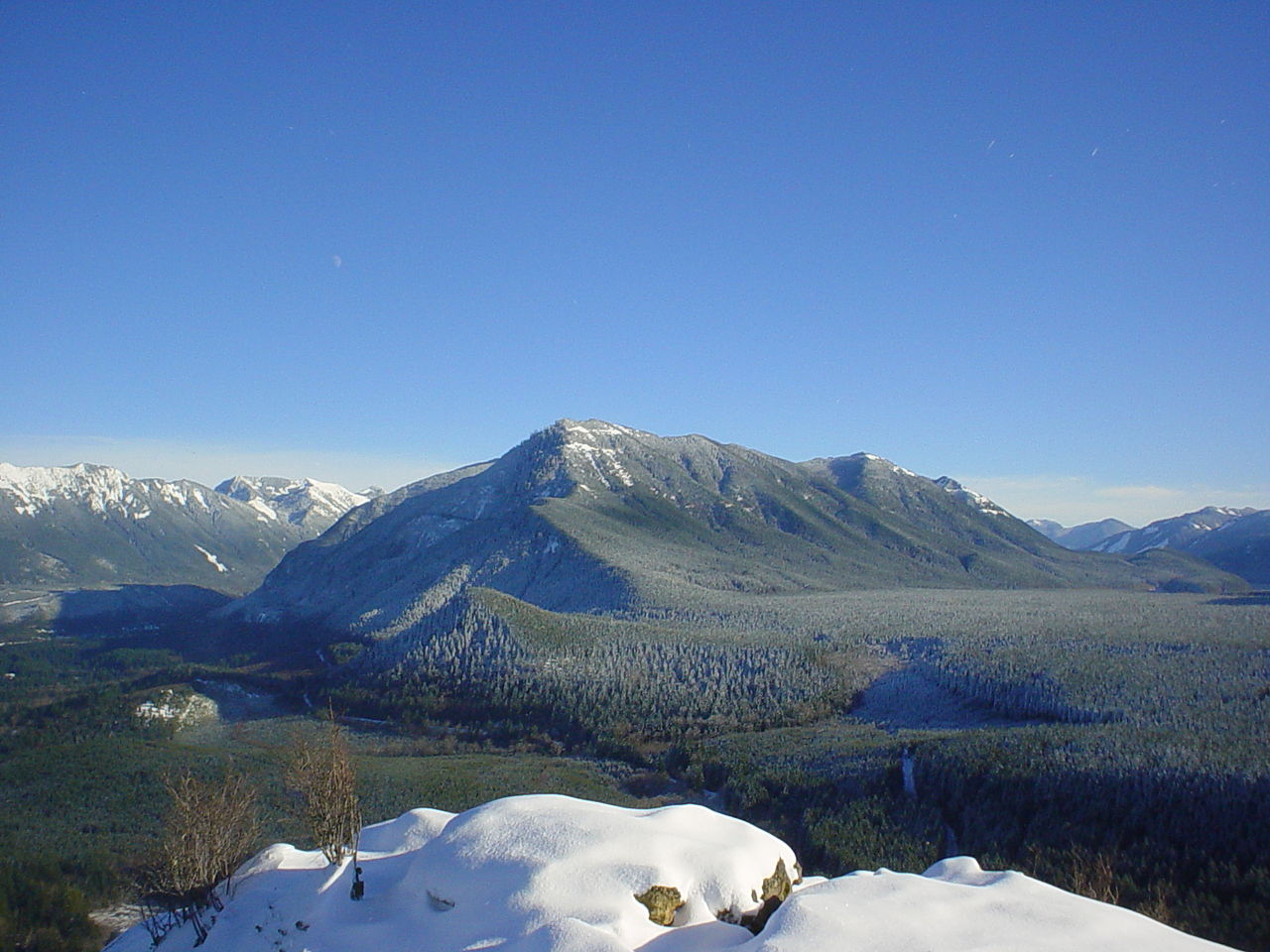 Mount WashingtonSummit · ~2 min drivePhoto: Konrad Roeder (CC) 2006, CC BY 2.5 (via Wikimedia Commons)
Best months: July–September. Best months have typical highs of 55–85 °F, lows of 30 °F or warmer (32 °F where the station doesn't record snow), at most one snowy day and no more than 12 wet days.
Jan
39° / 32°
19 wet · 5 snow
Feb
42° / 32°
17 wet · 4 snow
Mar
46° / 33°
20 wet · 4 snow
Apr
51° / 36°
19 wet · 1 snow
May
59° / 42°
17 wet
Jun
63° / 46°
15 wet
Jul
70° / 51°
9 wet
Aug
71° / 52°
8 wet
Sep
64° / 47°
12 wet
Oct
54° / 41°
17 wet
Nov
44° / 36°
20 wet · 2 snow
Dec
39° / 31°
20 wet · 5 snow
Typical high / low (°F) and days with rain or snow, 1991–2020. Measured at Cedar Lake, WA, 3.6 mi away at 1,560 ft. The station sits about 1,300 ft lower than this place, so expect it a little cooler here. Source: NOAA NCEI U.S. Climate Normals 1991–2020.
Campfire Ban in Effect Forest-wide
Mt. Baker-Snoqualmie National Forest · Order dated July 21, 2026; seen Aug 23, 2026 → lifted Sep 15, 2026 · Forest Service
