Mossquito Wall
Mossquito Wall in Washington has 5 mixed, sport, and trad climbing routes.
- 5 routes
- 5.6 – 5.12
- Mixed · Trad · Sport
Best time to visit Mossquito Wall
Best months: July–September. Best months have typical highs of 55–85 °F, lows of 30 °F or warmer (32 °F where the station doesn't record snow), at most one snowy day and no more than 12 wet days.
Jan
42° / 31°
20 wet · 4 snow
Feb
47° / 32°
17 wet · 2 snow
Mar
52° / 34°
19 wet · 2 snow
Apr
59° / 38°
18 wet
May
66° / 44°
16 wet
Jun
69° / 48°
13 wet
Jul
77° / 52°
7 wet
Aug
77° / 52°
7 wet
Sep
71° / 48°
11 wet
Oct
58° / 41°
16 wet
Nov
47° / 36°
20 wet · 2 snow
Dec
41° / 32°
20 wet · 5 snow
Typical high / low (°F) and days with rain or snow, 1991–2020. Measured at Baring, WA, 5.1 mi away at 770 ft. Source: NOAA NCEI U.S. Climate Normals 1991–2020.
Mossquito Wall is a climbing area in Washington's Forks of the Sky State Park, managed by State Park and Recreation. It sits among several other named climbing areas, with Lookout Point and Private Idaho each about 0.1 mile away. The wall's routes run from trad at 5.6 up to sport at 5.12, with mixed styles in between. Mossquito and Mossquerade are trad routes, and Frond Memories is a mixed 5.10a. Open Project AKA Moss Def is the sport route at 5.12. Two of the five routes are mixed, and two are trad. Summer is the most comfortable time to visit. Typical July and August highs reach about 77°F with only around seven wet days a month, based on averages from the nearby Baring weather station. Winter brings highs in the low 40s and snow on four or five days a month. Within a short walk, Leovy Trail and Erinswood Trail are about half a mile away, and Heybrook Lookout is about 1.6 miles off for camping. Anderson Creek, about 2.6 miles away, offers canoeing.
Keep exploring — more climbs worth the drive
 Photo: Laurel Fan, CC BY-SA 2.0 (via Flickr)
Midnite Boulder
~0 min drive
Midnite Boulder in Washington offers 5 bouldering routes ranging from moderate to difficult.
Photo: Laurel Fan, CC BY-SA 2.0 (via Flickr)Zelda Boulders
~0 min drive
Zelda Boulders in Washington has 10 bouldering routes across 9 grades.
 Photo: Laurel Fan, CC BY-SA 2.0 (via Flickr)
The Lighthouse
~1 min drive
Lighthouse, The in Washington has 7 mixed climbing routes with 7 distinct difficulty grades.
Photo: Laurel Fan, CC BY-SA 2.0 (via Flickr)Upper Wall, Lower Tier and Trail
~1 min drive
Upper Wall, Lower Tier and Trail in Washington has 23 climbing routes across 14 grades.
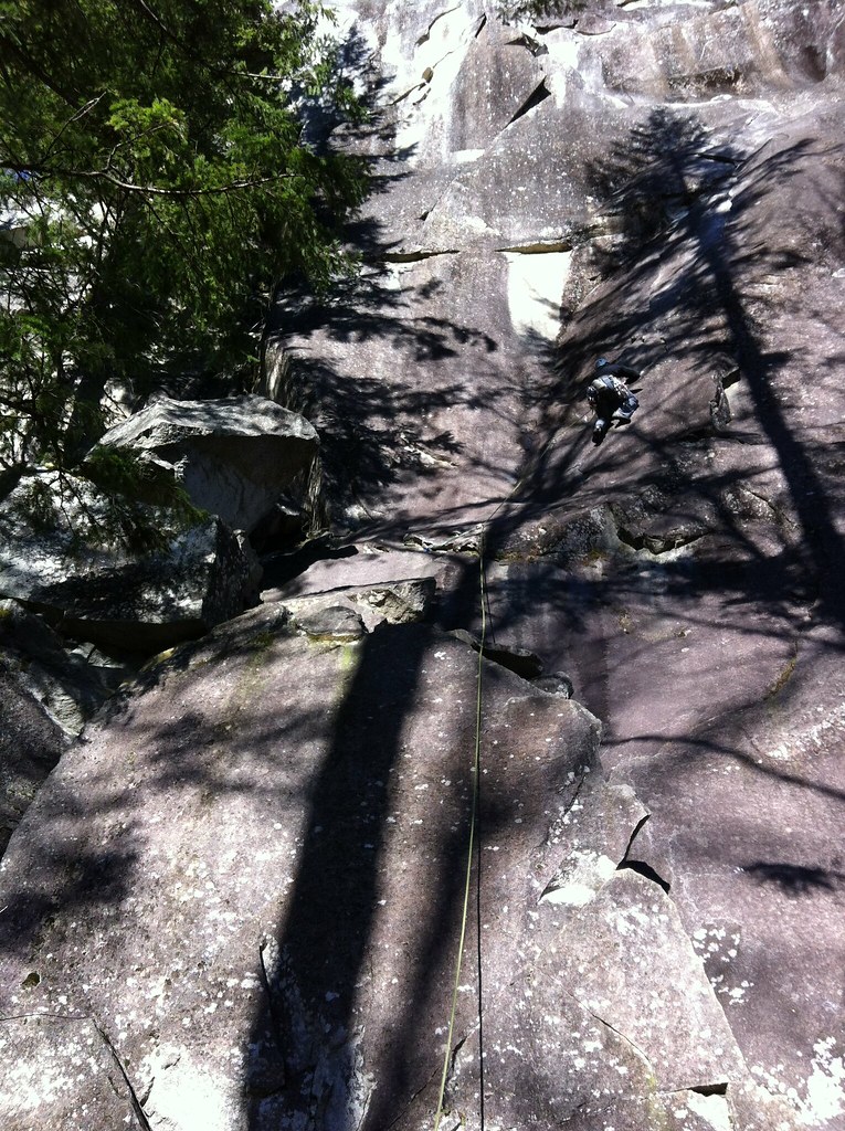 Photo: Laurel Fan, CC BY-SA 2.0 (via Flickr)
Upper Rhythm
~1 min drive
Upper Rhythm in Washington has 5 climbing routes across 4 grades, offering sport and trad options.
 Photo: Laurel Fan, CC BY-SA 2.0 (via Flickr)
The Country
~1 min drive
Country, The in Washington has 42 climbing routes across 19 difficulty grades.
 Photo: Laurel Fan, CC BY-SA 2.0 (via Flickr)
(D) Narrow Arrow and further right
~1 min drive
25 climbing routes in Washington spanning 18 difficulty grades.
Photo: Laurel Fan, CC BY-SA 2.0 (via Flickr)(C) Main Wall, left side
~1 min drive
(C) Main Wall, left side is a climbing area in Washington with 47 routes.
Photo: Laurel Fan, CC BY-SA 2.0 (via Flickr)(Ca) Dihedral Wall
~1 min drive
Dihedral Wall in Washington has 5 trad climbing routes across 5 difficulty grades.
Photo: Laurel Fan, CC BY-SA 2.0 (via Flickr)(B) Sonic Slab
~1 min drive
Sonic Slab in Washington has 6 routes ranging across 6 difficulty grades.
Also worth it near here
 Photo: Arthur Clarence Pillsbury, No restrictions (via Wikimedia Commons)
Erinswood Trail
~1 min drive
Cable Crop Boating Site
~2 min drive
 Photo: Loco Steve, CC BY 3.0 (via Wikimedia Commons)
Sunset Falls
~3 min drive
 Photo: Another Believer, CC BY-SA 4.0 (via Wikimedia Commons)
Philadelphia Mountain
~5 min drive
