Harlows Creek
- 4.1 mi
- distance
- 612 ft
- high point
- Jun–Sep
- best months
Clear at last check
Weather is good · OpenWeather · checked 17 h ago
Harlows Creek is a 4.1-mile paddling stretch near Skamokawa, Washington, about 3.6 miles from the town of Dahlia. The creek flows year-round, with an average flow of about 40 cubic feet per second and a gradient of about 148.5 feet per mile, according to USGS models. Summer is the most comfortable time to paddle. Typical averages from a nearby weather station show July and August highs around 77°F with only about six wet days a month, while winter months bring highs near 50°F and rain on most days. Several other paddling routes lie close by, including West Fork Skamokawa Creek at 3.5 miles and Crooked Creek at 3.6 miles. Fossil Creek is about 5 miles away, and the Tenasillahe Trail offers hiking roughly 6.6 miles from the creek.
Local outfitters
- River's Edge RV Resort and Camping22 mi away
- Jazmik's Jewel RV Park26 mi away
Not on Roamze yet. Their page has how to reach them.
- West Fork Skamokawa CreekCanoeing3.5 mi
- Crooked CreekCanoeing3.6 mi
- Fossil CreekCanoeing5 mi
- Left Fork Skamokawa CreekCanoeing5.2 mi
- Skamokawa CreekCanoeing5.5 mi
- Tenasillahe TrailHiking6.6 mi
- Pack TrailHiking6.9 mi
- Upper Gnat Creek TrailHiking9 mi
Source: Roamze catalog (indexable pages within 10 miles, PostGIS distance)
 Naselle RiverCanoeing · ~21 min drivePhoto: Adbar, CC BY-SA 3.0 (via Wikimedia Commons)
- Aldrich Point Boat RampBoat launch · ~7 min drive
- West Fork Skamokawa CreekCanoeing · ~6 min drive
- Deep River Boat LaunchBoat launch · ~13 min drive
- Crooked CreekCanoeing · ~6 min drive
- East End Basin Boat LaunchBoat launch · ~23 min drive
- Fossil CreekCanoeing · ~9 min drive
- Westport Boat RampBoat launch · ~24 min drive
- Left Fork Skamokawa CreekCanoeing · ~9 min drive
- Skamokawa CreekCanoeing · ~9 min drive
Also worth it near here
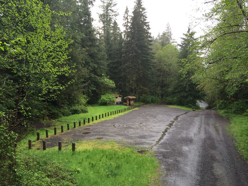 Gnat Creek CampgroundCamping · ~14 min drivePhoto: Sam Beebe — CC BY 2.0 (via Flickr)
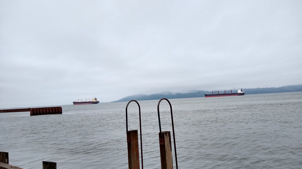 Astoria Riverwalk AlderbrookHiking · ~22 min drivePhoto: mjfmjfmjf, CC BY 2.0 (via Flickr)
- Pacific Coast Scenic Byway - OregonScenic drive · ~27 min drive
 Youngs River FallsWaterfall · ~33 min drivePhoto: Ian Sane from Oregon, USA, CC BY 2.0 (via Wikimedia Commons)
Best time to visit Harlows Creek
Best months: June–September. Best months have typical highs of 55–85 °F, lows of 30 °F or warmer (32 °F where the station doesn't record snow), at most one snowy day and no more than 12 wet days.
Jan
50° / 34°
20 wet
Feb
54° / 33°
17 wet
Mar
56° / 35°
20 wet
Apr
61° / 38°
18 wet
May
67° / 43°
14 wet
Jun
70° / 46°
10 wet
Jul
77° / 50°
6 wet
Aug
77° / 50°
6 wet
Sep
74° / 46°
9 wet
Oct
64° / 40°
15 wet
Nov
55° / 36°
19 wet
Dec
49° / 34°
21 wet
Typical high / low (°F) and days with rain or snow, 1991–2020. Measured at Grays Rvr Hatchery, WA, 6.6 mi away at 100 ft. The station sits about 500 ft lower than this place, so expect it a little cooler here. This station doesn't record snowfall. Source: NOAA NCEI U.S. Climate Normals 1991–2020.
